Features
Videos
Podcasts
Specials
Articles
Shorts
Donate
English
Español (Spanish)
Français (French)
Bahasa Indonesia (Indonesian)
Brasil (Portuguese)
India (English)
हिंदी (Hindi)
বাংলা (Bengali)
Swahili
Videos
Podcasts
Articles
Short News
Feature Stories
The Latest
Explore All
Nasa News
RSS
61 stories
L
G
Nepal’s community forest program misses the biodiversity for the trees
Abhaya Raj Joshi
22 Feb 2023
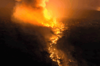
Bolivian protected areas hit hard by forest fires
Iván Paredes Tamayo
10 Nov 2022
In Brazil’s Pantanal, a desperate struggle to save a hyacinth macaw refuge from fire
Jennifer Ann Thomas
17 Sep 2020
Brazilian Amazon protected areas ‘in flames’ as land-grabbers invade
Ana Ionova
7 Aug 2020
Fires in the Pantanal: ‘We are facing a scenario now that is catastrophic’
Ana Ionova
6 Aug 2020
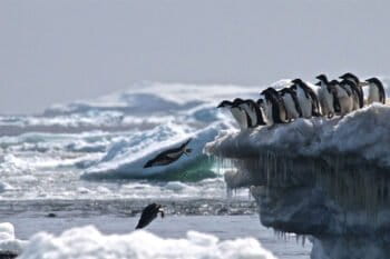
Penguin mega-colony discovered using satellites and drones, raising scientists’ hopes
Mongabay.com
3 Mar 2018
NASA releases images of dramatic deforestation in Cambodia
Morgan Erickson-Davis
13 Jan 2017
Carbon emissions from Indonesia’s peat fires exceed emissions from entire U.S. economy
Rhett Ayers Butler
15 Oct 2015
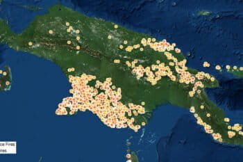
NASA photo shows New Guinea going up in flames
Rhett Ayers Butler
7 Oct 2015
NASA reveals rise in deforestation in remote Peruvian parks
Mongabay.com
27 Apr 2015
Researchers create global map of world’s forests circa 1990
Rhett Ayers Butler
14 Oct 2014
NASA: Forest loss leaps in Bolivia, Mekong region
Mongabay.com
8 Aug 2014
NASA successfully launches carbon-sensing satellite
Mongabay.com
2 Jul 2014
NASA data: 1997 all over again for Indonesia?
Mongabay.com
14 May 2014
NASA photographs the amazing ‘guitar forest’
Jeremy Hance
30 Apr 2014
NASA detects surge in deforestation in Malaysia, Bolivia during first quarter of 2014
Mongabay.com
21 Apr 2014
Amazon rainforest does not ‘green up’ during the dry season
Mongabay.com
6 Feb 2014
Alaska roasting: new NASA map shows the Final Frontier in grip of January heatwave
Jeremy Hance
5 Feb 2014
2013 was the seventh hottest year yet
Jeremy Hance
27 Jan 2014
Top 10 Environmental Stories of 2013
Rhett Ayers Butler
10 Dec 2013
Deforestation accelerates in Indonesia, finds Google forest map
Rhett Ayers Butler
14 Nov 2013
Powered by Google, high resolution forest map reveals massive deforestation worldwide
Rhett Ayers Butler
14 Nov 2013
Bolivia, Madagascar, China see jump in forest loss
Mongabay.com
1 Nov 2013
Deforestation alerts for Madagascar, DRC, Bolivia during Q2-2013
Mongabay.com
16 Aug 2013
Haze fires concentrated in deforested peatlands, not forest areas, confirms satellite analysis
Mongabay.com
10 Jul 2013
Cause of haze? Up to 87% of recent deforestation in fire zone due to palm oil, timber
Rhett Ayers Butler
26 Jun 2013
NASA: Deforestation jumps in Malaysia
Mongabay.com
10 Jun 2013
NASA: 3% of Amazon rainforest burned between 1999-2010
Rhett Ayers Butler
8 Jun 2013
Data from NASA’s Landsat 8 now freely available
Rhett Ayers Butler
2 Jun 2013
Researchers develop highest-resolution global forest cover dataset to date
Mongabay.com
17 May 2013
Conservation gets boost from new Landsat satellite
Rhett Ayers Butler
3 Apr 2013
NASA says 2012 was the 9th warmest year since 1880, blames global warming
Mongabay.com
15 Jan 2013
1
2
Next »
you're currently offline