- A U.S. non-profit and a cadre of volunteers have teamed up with reserves in South Africa and Indonesia to combat wildlife poaching through a series of connected camera traps.
- The group’s monitoring system, wpsWatch, can transmit visual, infrared, and thermal camera images as well as data from radar, motion detectors, and other field devices.
- The volunteers monitor image feeds while rangers sleep and have become an effective part of the team, which has detected roughly 180 intrusions into the reserves, including rhino and bushmeat poachers.
For the last two years, a U.S. non-profit and local partners in South Africa have quietly been catching wildlife poachers using remote cameras connected to a unique cross-continent volunteer monitoring system.
The program’s cutting-edge technology allows volunteers at their home or office to monitor images from remote cameras concealed in reserves across the globe. Volunteers can detect illegal intrusions into the reserves through a mobile phone app, send relevant images to a tech team, and have the information communicated to rangers on the ground within minutes.
The NGO, Wildlife Protection Solutions (WPS), and local colleagues have installed over 100 surveillance cameras at 15 sites across more than 1,210 square kilometers (467 square miles) of wildlife reserves and national parks. The group’s centralized monitoring system, wpsWatch, transmits images of wildlife and potential human threats from these remote field cameras in real time. The innovative camera-volunteer combination has so far detected roughly 180 human intrusions into the various reserves.

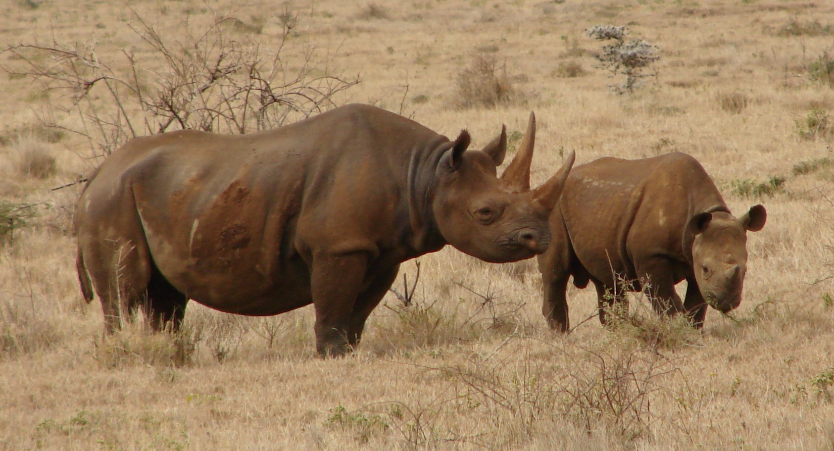
WPS initially partnered with game lodges within the 185-square-kilometer (71-square-mile) fenced Dinokeng Game Reserve in South Africa to test and deploy its technologies on their respective properties. The team’s interest in protecting various rhinoceros species has led to it providing support to additional reserves protecting rhinos in South Africa and Indonesia, as well as forest reserves in Hawaii.
Mongabay-Wildtech spoke with WPS executive director Eric Schmidt and program director Carrie Smizik to learn more about the system and the illegal activities it aims to prevent.
“In Africa it’s obviously anti-poaching,” Schmidt said. “We also use the cameras to keep an eye on our rhinos if we haven’t seen them in a long, long time.” In Indonesia, they use connected cameras primarily for anti-poaching work and more traditional camera traps for monitoring wildlife.

“It really varies,” Smizik said. “In Hawaii, it’s not just anti-poaching, it’s trespassing issues in addition to invasive species monitoring. In some of the [upcoming] sites, they’re wanting to use the system to determine the flowering seasons and seed-collection times.”
Deploying the system
Local partners identify sites of human intrusion or activity that they need to monitor, and the WPS team joins them in deciding where to place concealed cameras.
They first conduct site surveys to understand the terrain and logistics, target species, threats to their well-being, community use of the land and resources, and training needs. This information helps WPS determine what technologies they should bring to the site, how they will power it, and how they will get the information back.
WPS also brings its field tech know-how, such as how to place and mount a camera on a tree and select the appropriate settings to optimize the field of vision and reduce false positives from movement and vegetation.
At each site, the tech team also sets up long-range connectivity—usually through cellular networks but they also have sites using Wi-Fi and mesh or repeater networks—and conducts any capacity building required to maintain and use the system.
Limited connectivity inside remote parks is a big challenge that WPS has not yet overcome. “Oftentimes, connectivity forces us to restrict some of these real-time [communications] to edge locations where you’re monitoring ingress or egress points, which, fortunately and unfortunately, tend to be where there are people,” Schmidt said. “So we have some signal there.”

At larger-scale projects, they have erected towers and put in other infrastructure they need to connect the cameras to reserve managers and WPS personnel. For example, they began adding solar-powered battery backups to the cameras to extend their running time. They’ve built housing cases, using Pelican cases and other off-the-shelf parts, that can contain the equipment, be mounted to a tree, and keep out water, dust, and ants.
A wpsWatch component allows the team to remotely monitor the status of the cameras by asking any given camera to take a new image and send back to a smartphone. Ground staff can then inspect the camera to see if it needs repositioning or repair.
Collecting and communicating image data
The monitoring system currently collects data primarily through a mix of commercially available covert cameras, which WPS hopes to expand over time as the technology improves and becomes more affordable.
The illegal activities caught on camera vary by location. The team detects primarily trespassing in Hawaii, whereas they see evidence of bushmeat poaching in Africa. In Indonesia, illegal fishing in waterways and illegal resource collection, ranging from wood to grass to honey, are the most common offenses.

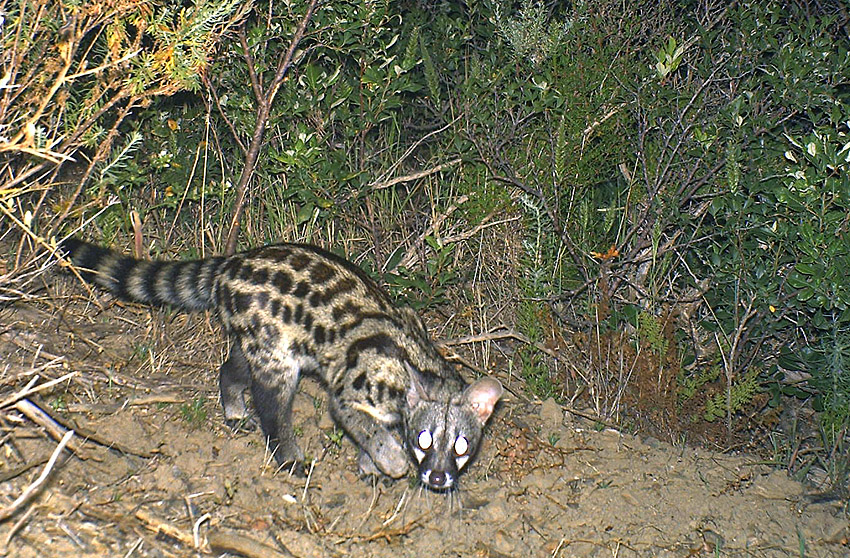
Each camera image or video feed is transmitted to an integration system and run through a threat-assessment software. If the software detects a human or target animal species, it sends an alert via text or email with the embedded image to the project manager who can respond to the situation, as well as to desktop or mobile apps used by WPS staff and volunteers. Non-threat images are also available for viewing in the apps.
In areas of limited connectivity, Schmidt identified a need for some sort of confirmation from the cloud that each photo sent was received; and that if it wasn’t, that it would be resent by the camera. Currently, only their most expensive camera, the Buckeye, will try to resend an image if something goes wrong in transmission. Others will store the images, which can be retrieved manually, but they won’t resend, preventing the real-time monitoring needed for patrols to take prompt action.
All images initially feed through a rudimentary automated human detection system that Schmidt acknowledged has not provided desired results, and they are currently testing a new object-recognition software tool. Such tools, like Google’s open-source TensorFlow, or Yolo, use machine learning and image processing to create models from data, such as recognizing a human form in an image based on many photos containing humans.
Human or animal recognition software embedded in the camera itself could help avoid sending unnecessary pictures, but Schmidt hopes to avoid relying fully on an imperfect device or algorithm that could miss an odd-shaped potential threat.

He has puzzled over “crazy photos” that turned out to be people running through the forest carrying stolen 2-meter (6-foot) hay bales in Indonesia. The oversized rectangular load masked their human form and so would likely not trigger a human recognition algorithm on a camera to send the photo onward.
And in South Africa, bushmeat poachers almost always go out with domesticated dogs. “We’ve caught images on the cameras of just domesticated dogs,” Smizik said. “So we’ve known bushmeat poachers are just behind them, [and] we’ve been able to send out the rangers just because we saw pictures.”
A cross-continent team effort
A unique aspect of the system is the remote volunteers helping to monitor the cameras. Volunteers based in the U.S. follow the image feeds from their own time zone, which affords them the advantage of being able to observe Africa’s or Indonesia’s nighttime activity during their own normal daytime hours.
The U.S.-based staff and volunteers support local security personnel, often by notifying them of poaching incursions seen on camera. Volunteers catch roughly 75 to 85 percent of intrusions, said Smizik. “It’s really, really been effective to employ volunteers to do that,” she said, noting that intrusions happen mostly at night, when the local rangers are asleep. “The volunteers are aware of that and they’re aware that they have kind of that time advantage.”
A volunteer who sees suspicious activity in the app sends Smizik a text image with a screenshot from their phone. Smizik will confirm whether the human in an image is reserve staff or an intruder. If it’s an intruder, she sends the image through WhatsApp to the teams on the ground.
“If I don’t get a response, I call them,” she said, “but I always want to send that image first so they have it at hand right away.”
Local partners will then send out a response team appropriate for the situation, which could include a tracking dog, human trackers, or heavily armed guards to try to prevent injury to wildlife. Quick follow-up is just as essential as detection.
 |

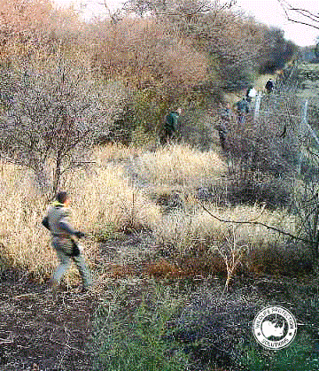
Poachers illegally entered a reserve (left). Poachers carried guns to hunt bushmeat (above). The anti-poaching team responded to the alert and then collects evidence of the entry (below). The poachers dropped their rifle and fled before they killed any animals (below left). |
 |
 |
 |
Concealed camera trap photos of illegal rhino trackers, the shooter with the high-powered rhino rifle, the subsequent response team, and the gun the poachers dropped when they ran away (they escaped this time). Photo credits: wpsWatch
It’s critical, Smizik said, to have “a partner with high buy-in into what we’re doing and really wants to make it work from their side.”
“What really ultimately ends up making the system successful,” Schmidt added, “is if somebody’s going to watch it, somebody [is] going to respond to something that happens, and if something does go down there’s somebody who’s going to go fix it.”
From camera data to action
Most apprehensions so far have happened in near-real-time, as the rapid image assessment and communication enables the partner to act quickly on the ground. Rangers have also set ambushes using clues from behaviors seen in multiple camera images.
“There was a situation where a gentleman was crossing through the space that was out in the middle of nowhere,” Smizik said. “And so we thought, well surely it has to be an employee. And it kept happening every morning at the same time, so I notified the rangers and they watched him another couple of days too. And then they went ahead and set the ambush.”
Photographs also provide evidence that authorities have used to track down and apprehend the perpetrator. So if rangers discover a cut fence during their regular perimeter checks, they may place a camera there to see who is using it.
Camera evidence of a man in a bulldozer plowing down forest and an endangered tree in Hawaii provided high enough quality evidence to allow authorities to track him down and convict him after the fact. “It was the man’s face,” Smizik said. “And they also had an identifying shirt, and marks on the tractor as well that the police were all able to use to identify who it was.”

“The addition of the cameras has been a great counter-poaching aid and has allowed the reserve to be more effective with its limited resources,” said Coenie Erasmus, Director of Biodiversity Management & Conservation for South Africa’s Free State. “Our camera footage is now being utilized in police prosecution…and also being assessed to see if car registration numbers can be linked to other poaching incidents in the other provinces.”
Integrated data feeds from a range of sources
The system can transmit visual, infrared, and thermal camera images as well as data from radar, motion detectors, and other field devices. At one site, the team has incorporated input from GPS-tagged animals and vehicles into their data feed.
“The back-end system, which is what our focus has really been on, doesn’t care what things you’ve put in the field,” Schmidt said. “To us the magic mix is, is it field-hardened, is it power-efficient, and does it connect [to the internet] the way we want it to, in a reliable fashion?”
They also see the integration system evolving to allow information exchange among different types of data-collection systems, such as Vulcan’s Domain Awareness System, the SMART monitoring tool, and Cmore, the anti-poaching command and control system used in South Africa’s Kruger National Park.
“Because there are a limited amount of dollars going toward conservation, you get farther if you don’t reinvent the wheel,” Schmidt said. “So our preferred method is, if somebody’s already got something out there that works, let’s figure out how to cooperate with those folks and then take that offering and expand it as best practice to as many field situations as we possibly can.”

In a follow-up post, we sit down for a Q&A with Eric Schmidt and Carrie Smizik to talk about their experiences and lessons learned in combining cutting-edge technology and citizen science.


