- Researchers in The Bahamas have been testing just how good drone videos can be for estimating the abundance and distribution of large marine animals found just beneath the ocean’s surface.
- They flew aerial surveys using commercial-grade drones along six tidal creeks facing high and low human impact, to count sharks, rays, and sea turtles — groups that are both threatened and difficult to monitor. The findings from multiple sites suggest that shoreline development negatively affects the abundance and distribution of various marine species.
- The study also showed that using lower-cost consumer drones equipped with video cameras could help researchers effectively and non-invasively estimate abundance of these marine megafauna in shallow waters and compare data across sites.
Using drones for wildlife surveys isn’t new to marine wildlife research, but it’s been focused mainly on detecting the large mammals and sea turtles that break the ocean’s surface to breathe. Researchers in The Bahamas wanted to test whether they could also locate the many sharks, rays, and other species that spend time just below the ocean’s surface using small, commercially available drones. They published their findings and testing methods last month.
“We found that drones can be used to count and make species-level identifications of marine species, particularly in shallow marine environments,” lead author Enie Hensel, a Ph.D. candidate at North Carolina State University, said in a statement.
Sharks, rays, and sea turtles are both disproportionately threatened by human activity and difficult to monitor. The aerial viewpoint offered by drone-borne cameras allows the pilot to detect these large animals beneath the surface. So the researchers set out to test if they could reliably identify animals in video footage taken from drones at different locations.

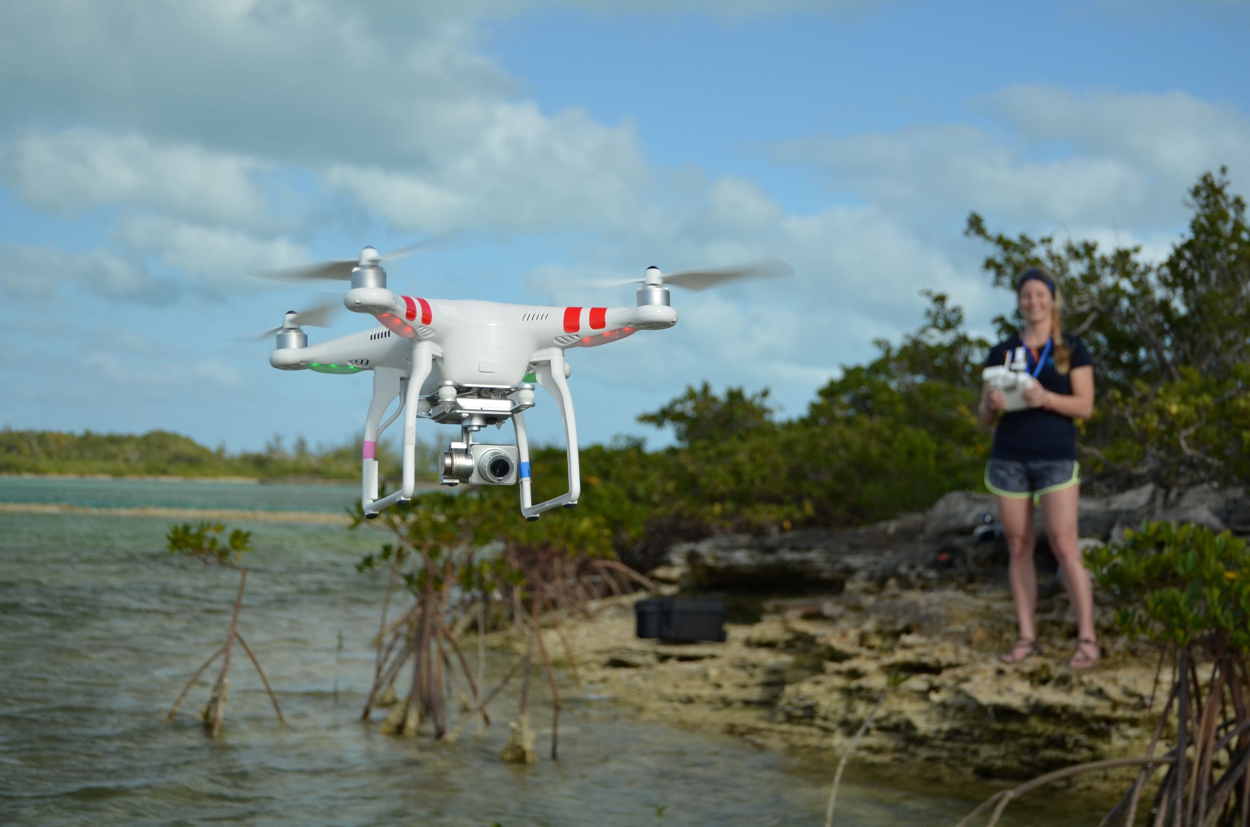
They used small commercial-grade quadcopter drones that are relatively affordable, easy to use, and able to carry fairly high-definition video cameras to mimic the equipment that might be available to a wide range of studies.
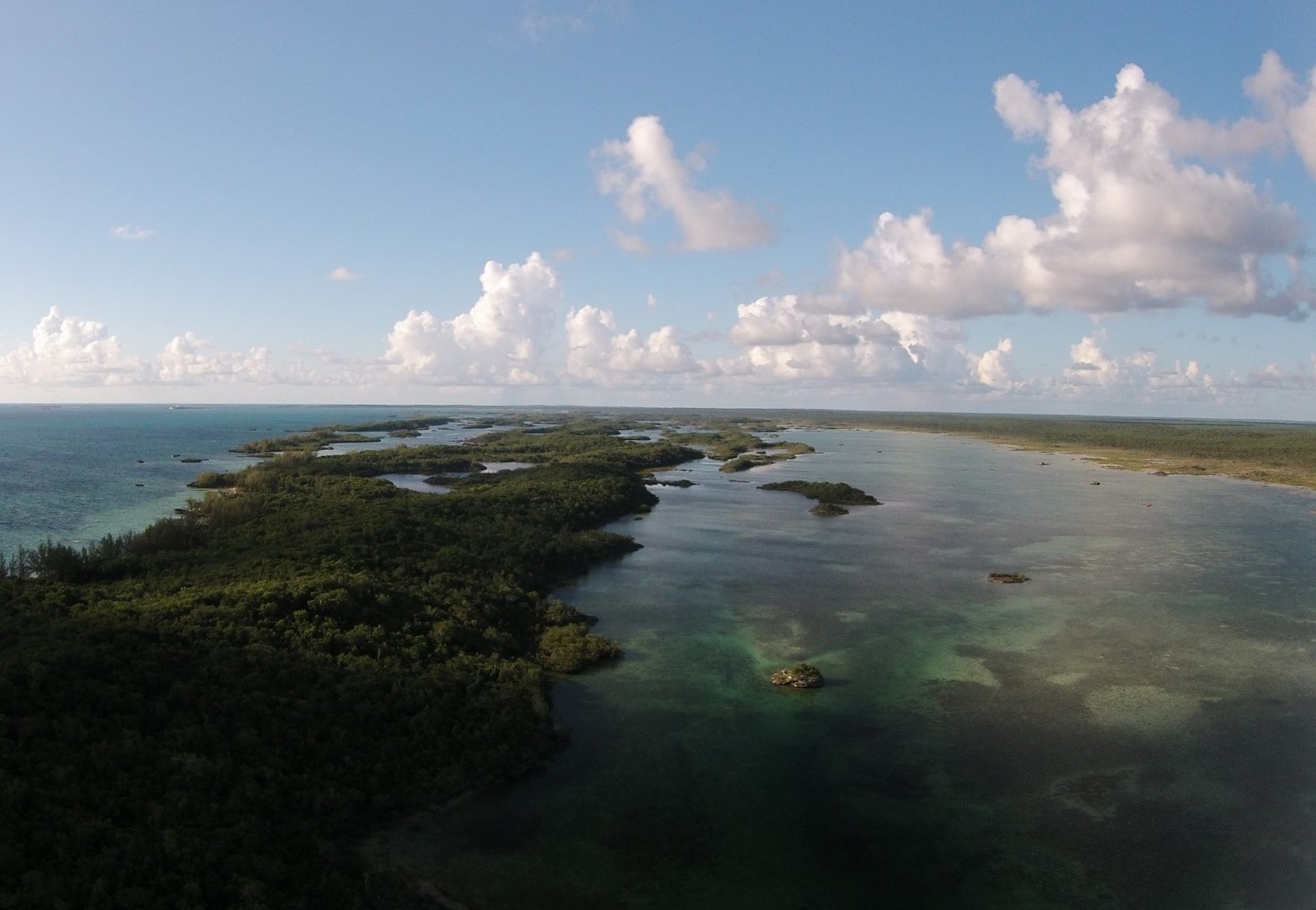
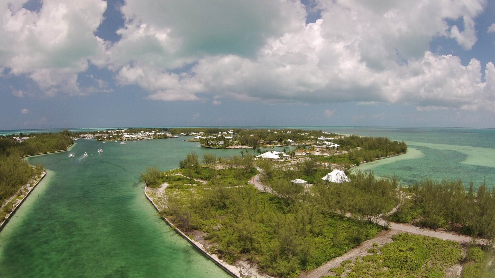
The researchers surveyed six coastal mangrove sites along the shoreline of Great Abaco Island in The Bahamas. Sharks, rays, and young green sea turtles use these shallow tidal creek habitats. The researchers chose three sites close to human structures and paired each with a nearby site in an uninhabited, or low-impact, area.
“Drone surveys are also a good way to monitor shallow water, megafauna species because they are not intrusive,” Hensel said in the statement. “More traditional monitoring methods — such as boat surveys or gill nets — are more invasive and have the potential to harm individuals or alter their movement patterns.”
Hensel and colleagues flew four surveys at each site with a DJI Phantom Vision 2+ quadcopter drone at each site, recording video footage from cameras attached to the drone. Each survey involved a pair of consecutive drone flights to provide sufficient flight time.
An example of the study’s drone footage, this video shows of a pair of eagle rays gliding in shallow water off Great Abaco, The Bahamas. Video by Enie Hensel.
The drone’s battery was rated for a flight time of 25 minutes. Accounting for the setup and the total flight time, that left the researchers with about 12 minutes of survey time, they noted in their paper.
They flew the drone at a constant speed of 4.8 kilometers (3 miles) per hour, at an altitude of 7.6 meters (25 feet), surveying the sites under similar conditions: calm seas, high water clarity, 1 to 1.5 meters (3.3 to 5 feet) water depth, and on an outgoing tide.
“One challenge was [to] be patient for non-windy days,” Hensel told Mongabay. “Small, surface waves made it difficult to see submerged animals that were not moving, so we had to take advantage of every calm, good weather day.”

They conducted each drone flight path manually, using premeasured visual landscape and seascape markings. They couldn’t use automated flight path software due to compatibility issues with drone model and lack of access to cellular or wireless connections at remote locations.
Physically accessing their deployment locations without disturbing the water and thus the animals they were monitoring required some extra legwork. “At times,” Hensel said, “we would walk miles on the beach or through half a foot of muck through dwarf mangroves with this large, waterproof drone case attached to my back with two ‘shoulder’ straps I [duct]-taped to it.”
The researchers first estimated the probability of detecting the animals beneath the surface by flying the drone over a set of shark decoys, made of foam and held in place with weights. Both the project drone pilot and an observer reviewing the video footage detected all the artificial sharks.
After conducting the surveys, the pilot and an observer each reviewed the video recordings from the survey flights independently, counting the average number of animals of each species seen per minute at each site. As with the accuracy tests, they detected the same numbers and types of animals from the footage.
The impact of human development
Using the high-definition drone-based imagery, the researchers detected 13 sharks of three different species (lemon, nurse, and bonnethead); 28 rays of two species (spotted eagle rays and southern stingrays); and 145 green and hawksbill sea turtles, which they couldn’t tell apart in the aerial imagery. They found animals of different sizes, shapes, and colors moving different amounts. They detected the animals at varying levels of water clarity; over seagrass meadows, hard bottom, sand, and scattered patch reefs; and in areas of low and high human impact.
In fact, the researchers said in their paper, “For all marine megafauna (elasmobranchs [sharks and rays] and sea turtles combined), we observed twice as many animals in low human impact sites compared to high human impact sites.” Coastal development in the area corresponds to pollution, loss of mangrove habitat, boat noise and collisions with wildlife.

The findings suggest that using small, consumer-grade drones can help researchers effectively detect and estimate the abundance of larger marine animals in shallow waters, particularly over relatively small areas (less than 3 square kilometers, or 1.2 square miles, for example).
“Demonstrating the viability of drones for this work matters, because these are inexpensive tools for collecting accurate abundance estimates,” Hensel said.
Gathering this data repeatedly over time helps scientists associate environmental conditions with specific species. It also allows resource managers to assess the effects of conservation actions and target sites supporting threatened species, or greater numbers of species or individual animals, for conservation.
Citation
Hensel, E., Wenclawski, S., & Layman, C. A. (2018). Using a small, consumer-grade drone to identify and count marine megafauna in shallow habitats. Latin American Journal of Aquatic Research, 46(5), 1025-1033.


