- The lack of a single map of land-use claims and internal borders in Indonesia is a major impediment to sustainable development in the country.
- The government has embarked on a One Map initiative to fix this problem, but the project’s fruition is still years away.
- President Joko Widodo has set a target to complete the One Map initiative by 2019.
Indonesia’s campaign to establish a single map of land-use claims and internal borders in the archipelagic country is getting a boost from the World Resources Institute, a Washington-based thinktank with an office in Jakarta.
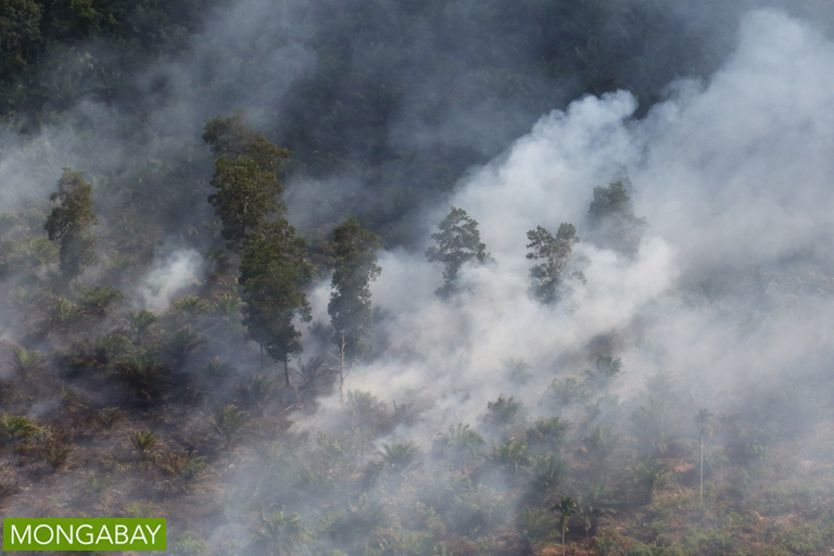
WRI’s new Riau One Map campaign aims to further the nationwide One Map initiative by focusing on Riau, Indonesia’s top palm oil producing province and an epicenter of the annual forest and peatland fires that last year sickened half a million people and cost the country $16 billion, according to government and World Bank figures.
According to WRI Indonesia chief Nirarta Samadhi, the end goal of the project “is not to create the map, but to create a credible platform allowing relevant stakeholders to talk about the issues faced in land and forest management in the province,” the Jakarta Globe reported.
“We must open up a communication platform which promotes transparency. This will help reduce conflict and identify the problems faced by each stakeholder,” Samadhi said last week.

If the project goes well, WRI hopes to expand it to South Sumatra and Papua provinces by 2018. In February, President Joko “Jokowi” Widodo, who has pledged to redistribute 9 million hectares of land as part of an ambitious agrarian reform agenda, to a set a target for completing the government’s One Map initiative by 2019.
The persistence of contradictory references across the different arms of levels and government is one of the biggest impediments to sustainable development in the country whose deforestation rate overtook that of Brazil in 2014. The problem also underlies thousands of conflicts that pit communities against companies, the state and each other.


