Features
Videos
Podcasts
Specials
Articles
Shorts
Donate
English
Español (Spanish)
Français (French)
Bahasa Indonesia (Indonesian)
Brasil (Portuguese)
India (English)
हिंदी (Hindi)
বাংলা (Bengali)
Swahili
Videos
Podcasts
Articles
Short News
Feature Stories
The Latest
Explore All
Remote sensing News
RSS
594 stories
L
G
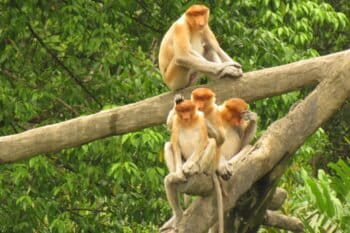
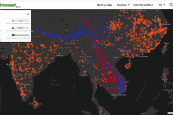
An interactive map connects landowners and forest change in one of the world’s most biodiverse places
Sue Palminteri (1965-2019)
28 Apr 2017
Military base-building destroys coral reefs in the South China Sea
Greg Asner
26 Mar 2017
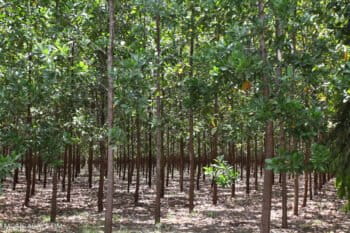
In defining plantations as forest, FAO attracts criticism
Benji Jones
21 Mar 2017
Successful forest protection in DRC hinges on community participation
John Cannon
12 Mar 2017
Building environmental community and transparency through maps
Sue Palminteri (1965-2019)
7 Mar 2017
‘Revolutionary’ new biodiversity maps reveal big gaps in conservation
John Cannon
27 Jan 2017
Free online analysis of forest change
Sue Palminteri (1965-2019)
6 Jan 2017
What to expect for rainforests in 2017
Rhett Ayers Butler
4 Jan 2017
The year in tropical rainforests: 2016
Rhett Ayers Butler
31 Dec 2016
Brazil: deforestation in the Amazon increased 29% over last year
Rhett Ayers Butler
30 Nov 2016
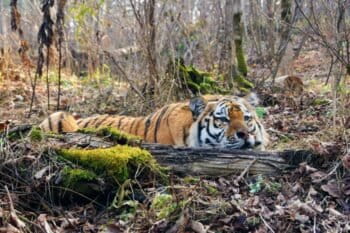
KEDR: Watching over the cedar forests of the Russian Far East
Julia John
23 Nov 2016
Endangered species database ‘outdated’, underestimates risk of extinction: new study
Shreya Dasgupta
10 Nov 2016
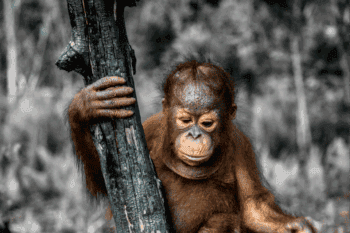
Company poised to destroy critical orangutan habitat in breach of Indonesia’s moratorium
Erik Meijaard
24 Oct 2016
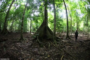
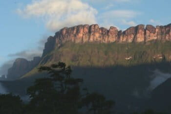
The Guiana Shield, the ‘greenhouse of the world’
Akola Thompson
19 Oct 2016
Airbus to marshal its satellites against deforestation
Philip Jacobson
12 Oct 2016
Rainforest destruction rises in the Brazilian Amazon
Rhett Ayers Butler
3 Sep 2016
Five tools are better than one: determining deforestation drivers from above
Sue Palminteri (1965-2019)
19 Aug 2016
Why is Brazil regressing in its fight against deforestation?
Paulo Barreto
12 Aug 2016
Understanding the ghost of the mountain
Julia John
10 Aug 2016
Identifying the drivers of Amazon deforestation through high-tech maps and stories
Suzanne Palminteri
5 Aug 2016
On eve of Olympics, Amazon deforestation surges in Brazil
Rhett Ayers Butler
25 Jul 2016
Piloting PALM Risk to detect palm oil-driven deforestation
Julia John
20 Jul 2016
Combining high-tech and low-tech to turn satellite images into action
Nathan Hahn
24 Jun 2016
Norway pledges $14M to strengthen forest monitoring platform
Mongabay.com
15 Jun 2016
Online forest mapping made easy
Suzanne Palminteri
4 Jun 2016
Tech for Tigers: keeping tabs on forest habitat to conserve an iconic cat
Sue Palminteri (1965-2019)
1 Apr 2016
Indonesia’s oil palm maps remain hidden from public view. Why?
Mongabay.com
23 Mar 2016
$1m for devising best way to map Indonesia’s peatlands
Sapariah Saturi
5 Mar 2016
Geospatial data for the people, by the people
Suzanne Palminteri
6 Feb 2016
Remote sensing is leading the way to a more transparent world
Nathan Hahn, Sue Palminteri (1965-2019)
17 Nov 2015
Wildlife biology in the 21st century
Caleb O'Brien
20 Oct 2015
U.N. data suggests slowdown in forest loss
Rhett Ayers Butler
8 Sep 2015
« Previous
1
…
6
7
8
9
10
…
19
Next »
you're currently offline