- With fires and deforestation driving land use change around the world, Mongabay held a three-way Q&A with Kim Carlson of New York University and Jean Jardeleza of Ateneo de Manila University on the technology of studying land use change.
- Carlson’s research focuses primarily on how the palm oil industry drives deforestation in Indonesia, and how nongovernmental commitments can help reduce their impact.
- Jardeleza’s recent research focused on finding models that can accurately model deforestation in the Philippines, and is using them to evaluate the impact of the country’s National Greening Program.
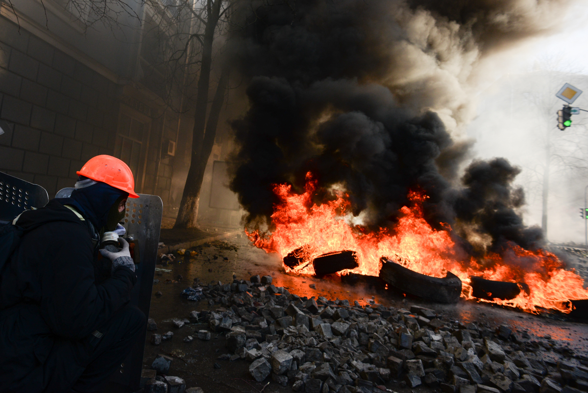
Though other stories might have dominated the headlines, 2020 was a year of tremendous change in land use and land cover. Massive fires burned across Australia, the Amazon, and the Western U.S. Worldwide, as government oversight shifted to the pandemic, deforestation increased dramatically. And as these changes unfolded, scientists had an unprecedented front seat, no matter where in the world they were located — all thanks to satellites and other remote-sensing technologies.
Kim Carlson and Jean Jardeleza know this sort of change better than most. Carlson, an assistant professor of environmental science at New York University, and Jardeleza, a lecturer at Ateneo de Manila University in the Philippines and project staff of the Ateneo Institute of Sustainability, both use remote sensing and computer modeling to study the ways humans shift and reshape the lands we use.
Mongabay recently brought Jardeleza and Carlson together for a three-way conversation about this fascinating field, where the two scientists found frequent common ground in the potentials and pitfalls of these technologies. This included their ability to allow scientists to study any place in the world without ever setting foot there, a practice that has become increasingly controversial.
“There is a legacy of Americans coming in and saying, this is how we think conservation should happen,” Carlson said. “There’s also a benefit of being there. Imagine a student that’s trying to do work in Indonesia from the United States. They’ve never set foot in a rubber garden, or in an oil palm plantation. They don’t have a sense for the diversity of land uses and the context there. Though we can technologically do it, should we?”
Jardeleza added that this is also the case when trying to study a different province, even within the same country.
“That’s why something I really want to do is to bring in more local contacts, as an offshoot of [my deforestation] research later on,” she said. “It would be good to engage them so there’s a sense of ownership in the study. It’s not just from another university, it’s also their study.”
Jardeleza and Carlson discussed global and regional trends in land use change, the challenges for early-career researchers in their field, and what gives them hope even as the outlook for forests remains grim. The interview has been lightly edited for clarity.
Mongabay: How did you each become interested in land use change and the impacts it has?
Jean Jardeleza: My interest in land use and land cover change really started when I worked for the government, in the department of environment and natural resources. At the time one of my tasks included vetting information for the president, especially for the state of the nation address. One of those programs I needed to vet was the National Greening Program, which at the time was one of the flagship programs. And it’s also one of the biggest government-funded reforestation projects in the Philippines. Since it was something I was familiar with when I started my master’s, I thought why not study something related? I also love hiking, and I couldn’t imagine a world where my daughter couldn’t experience these things.
For me, admittedly, at the start I was a bit hesitant. Because it dawned on me this work wasn’t the kind of lab work I was used to. It also meant my field work would be informative interviews, not going to the field and taking samples, bringing them back to the lab for analysis. Which were to me, as an undergrad and a budding environmental scientist, really fun and interesting.
But then in hindsight I was actually doing more or less the same thing. It entailed as much scientific rigor as working in the wet lab, for example, or in the field. It was just the physical context that changed. But what I appreciated most is I could take the “lab” with me anywhere I go, so long as my laptop could handle the computing power that I needed.
This was also the first time I dipped my hands into really doing programming. It’s something I really didn’t do in my undergrad years, and now it’s something I really enjoy. I could start processing a map and forget that time even runs. These days I’m also advising students who are doing this sort of geographic information systems (GIS) work for their undergrad thesis. And this is something they can do given the limitations of the pandemic, since they can’t go to the field.

Kim Carlson: GIS and land use science is really pandemic friendly, it’s true, unless you have to worry about getting a satellite into space. Pretty much all of those data are available to everyone. I wonder what is going to come out in the next couple years in terms of scientific publications in this field.
Land use and land cover change is so integrative, and that’s something I find so interesting about it. It integrates biophysical processes, ecological progress, and human processes. So it’s always responsive to what happens in the world — whether that’s a disaster, or a human migration. I suspect that we’ll see some really interesting papers coming out about the effects of the pandemic on land cover change over the next couple years. Because the migration stories have got to be incredible, how people reappropriate land in response to a big event like COVID. So that’s why it’s interesting: there’s never a dull moment when it comes to land use change.
It’s also fantastic because you can integrate different things; whether you’re interested more in the satellite remote sensing, that very technical understanding of physics, or in the human dimension of it, which brings in interviews and being out in the field with people.
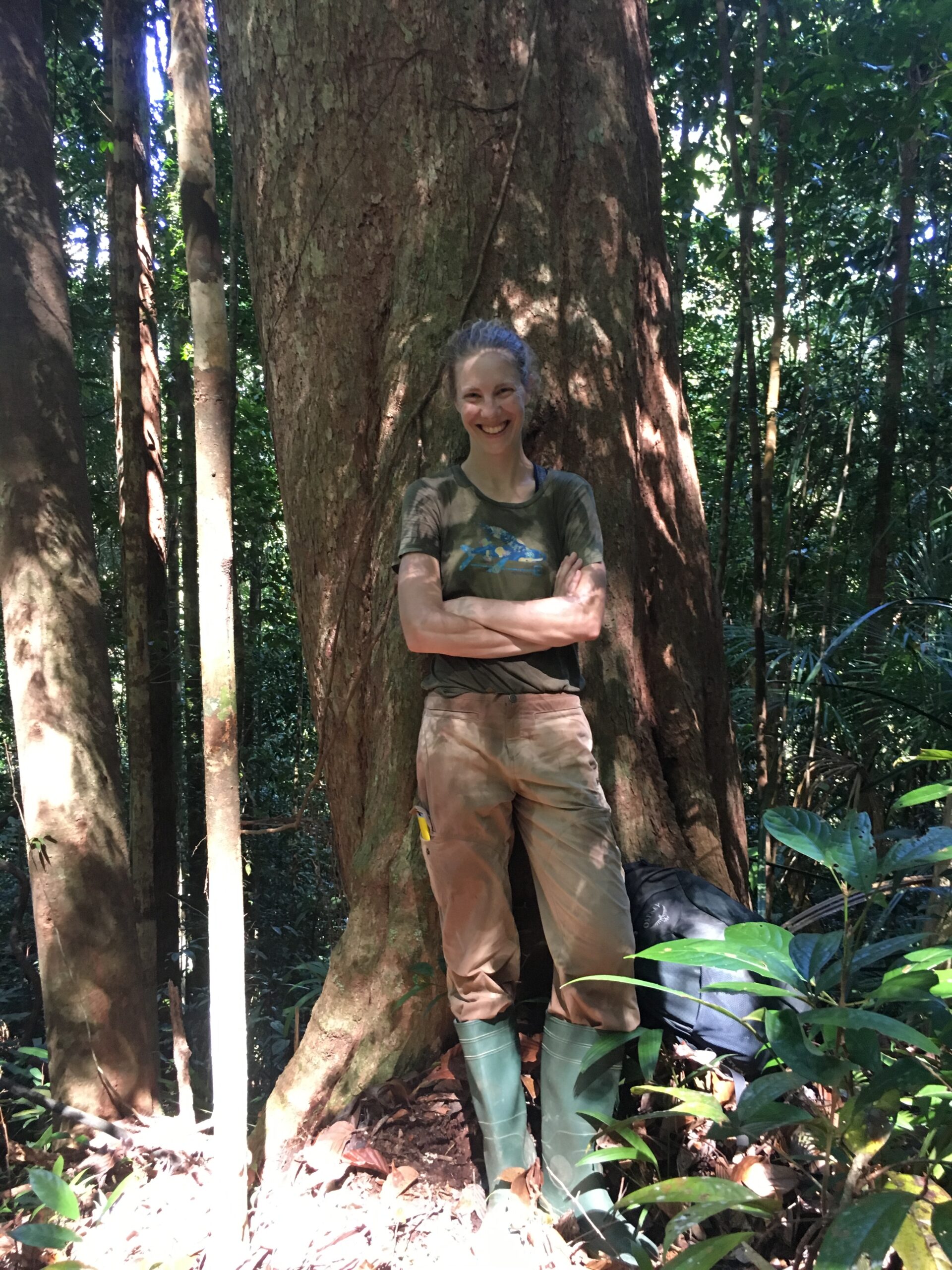
Kim, what sort of trends have you seen in the decade-plus you’ve been working on land use change and tropical agriculture in Indonesia?
Carlson: In Indonesia the big conversation is always around deforestation, which is related to fire and commodity expansion. And to some degree shifting agriculture. In many ways the conversation hasn’t changed over the 15 years I’ve been doing this — which sounds like a long time, but it’s not that long.
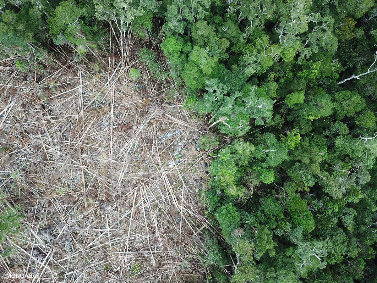
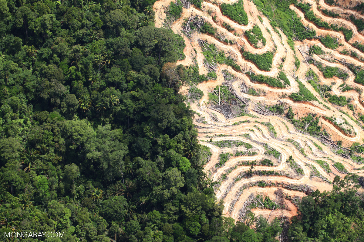
The most interesting dynamic in Indonesia that we’ve seen is there was a huge increase in deforestation in the mid-2010s. This was largely linked to the fires there in 2015 and 2016. Those were big deforestation years, largely driven by ENSO (El Niño-Southern Oscillation) and other dry conditions. But since 2017, there has been a decrease in deforestation across Indonesia. That is in contrast to increasing deforestation in places like Brazil and actually the global tropics, where you’re seeing a continued increase in deforestation.
It’s an interesting story to study, and I haven’t seen that much published on it. But the question is why — we’re always trying to do attribution in land use science. I suspect the decrease in Indonesia is linked to less fire, which may be linked to Indonesian policies around smoke, and agreements that they have to reduce emissions and control their fire. But it could also be linked to the moratorium that it was put in place in 2011, or it could be linked possibly to some of the commitments oil palm and paper pulp corporations have made to deforestation. So trying to understand those dynamics, how those big policies are affecting land use change are one of the big questions we see right now.
I’ve also seen so much recently about illicit land use change and illicit economies. This is the idea that a company perhaps is hiding its affiliation with an owner or a supply chain in order to continue to operate under business as usual, and do things that aren’t acceptable, either according to government standards or sourcing standards for consumers and customers.
I can imagine that using remote systems could provide an advantage for something like that, because nobody knows that you’re looking?
Carlson: It’s very interesting, because the Indonesia government recently said they will not allow companies to share spatially explicit data on their boundaries. It seems that the Indonesian government is very concerned about state secrecy and protecting national interests, but at the same time, there are still satellites that can see sub-meter information. And there’s now open-source data sets where companies are reporting where they’re sourcing their products from. That’s another thing that’s really changed, I would say, in the last 10 or 15 years: the availability of free satellite data, the availability of high-resolution satellite data, and the increased focus on transparency, at least among the corporate and NGO world. I don’t think that same trend has occurred within the government, at least in Indonesia.
Jardeleza: The government in the Philippines is not so confident with sharing their maps as well. We have a geo portal where everyone can access them, but unfortunately we could not download them as editable files even if we tried to request them. At least for the whole Philippines. We can only do that for a project site extent, not even a regional or provincial extent. Which was one of the challenges I experienced doing my study on the Philippines National Greening Program.
The National Greening Program is a really interesting one, as it stands in contrast to a lot of that deforestation Kim was talking about in the global tropics. Jean, could you explain the initiative, and your recent work testing models that could be used to examine this regrowth?
Jardeleza: The National Greening Program was implemented in 2011 with the goal of reforesting 1.5 million hectares (3.7 million acres) in a span of six years. In the Philippines we have different legal definitions of land — we have alienable and disposable lands, and those lands that are not alienable and disposable, we classify as forest lands.
The goal of the National Greening Program at the time was to reforest 1.5 million hectares. In 2010 we had 6.8 million hectares (16.8 million acres) of forest in the country, but after 2016 that increased to up to 8 million hectares (19.8 million acres). So in a sense, they attribute the increase in forest cover in my country to the National Greening Program.
What that study did was to simulate deforestation based on factors such as presence of mining concessions, logging concessions, proximity to urban centers, city centers, even proximity to road networks and transport networks, rivers and water bodies. It also factored in the presence of protected areas and reforestation sites. We calibrated those models to weigh how these different factors affect deforestation in the Philippines. And then we validated this against reference data sets, to compare the actual and simulated maps we produced.
Our next project is going to be in the projections aspect of the program, which we haven’t published yet. It will look at how, for example, the establishment of plantation sites affect the forest cover count, given that some of these will be harvested within 25 or 30 years. Whereas if we really want to have areas functioning as forests, we would need to allow trees to grow up to 60 years, so that they can be considered primary forest.
With that in mind, what has been the impact of the National Greening Program in the Philippines so far?
Jardeleza: What’s interesting about this program is it was also implemented to provide livelihood opportunities. If you check out the website, now called the Expanded National Greening since it has been extended to 2028, among the accomplishments you can see is “jobs generated” and “persons employed.” Because one of the goals was really to provide livelihoods, reduce poverty and increase food security.
Interestingly, according to our forest management bureau, plantation forests comprise almost half of the reforestation sites for the regreening program. So commodities species were planted in these sites, including timber, fuelwood, bamboo, even fruit trees like mangosteen, mango, jackfruit, lanzones, rambutan, or durian.
But unfortunately among the species they would plant is invasive species, such as mahogany. Mahogany is bad because it emits some sort of chemicals that make the surrounding area more favorable to it, but not other trees around it. So when you see a mahogany plantation, the spacing is really uniform, not random, that’s the tree’s way of increasing their numbers; they’re very efficient at that.
Hopefully for the expanded version of the program, they’re going to plant more native species so we’re not just adding forest in terms of hectares, but also looking at their functions as forests, their ecosystem services, other than their economic services to us.
I’ve only been in the field for five years, so I couldn’t share much in trends in land change over that time. But I can share that in spite of the National Greening Program, our forests are still very much vulnerable to many threats, one of them being the conversion to agriculture, and commercial and residential lands. We have a lot of subdivision developments here in the Philippines, not just in Manila, which is one of the biggest city centers, but a lot of urban centers are experiencing this urban sprawl and encroachment. It’s something that I’m experiencing in my hometown.
Both of you use these remote technologies and computing methods to look at really vast swaths of land over time. Could you talk about what these technologies offer that are unique and were perhaps not available before?
Carlson: Looking at some of our projects right now, for instance, we’ve got one that’s mapping high carbon stock forest. High carbon stock (HCS) forest is a definition developed in response to needs to implement zero-deforestation commitments in the oil palm sector. And in that project we’re using some relatively new satellites available. These have fairly high spatial resolution and temporal coverage. By combining those multiple satellite data sets we’re able to develop a much more accurate classification of land use than if we were using just one.
Our postdoc is doing that work, and it’s incredible the technologies that are available, both in terms of being able to composite those data sets, and ensure they’re comparable across different sensors. Usually you would have to do a lot of work to make sure one satellite is giving you the same information as the other. But now, others have pre-processed those data sets, so that they’re highly comparable. Plus, with these deep-learning, AI-type approaches to classification, it results in really high accuracies.
It’s a pretty amazing thing, in comparison to when I did my Ph.D. We had the satellite Landsat 7, which had these huge stripes across the images because the sensor was broken. The technology has really expanded really rapidly.
We can now run extremely high spatial resolution models over long time periods with a lot of different land cover changes and inputs in a way that we couldn’t 15 years ago. It’s a really nice time to be working on this stuff.
Jardeleza: I agree, this is an exciting time to work on land use and land cover change. We have so many resources and so many free ones. And I love the community of land use/land cover change scientists, because everyone is so supportive. When I was starting this study, and looking for the model I would be using, I found there are so many. And what I appreciated were studies that helped compare these models — not to pit them against each other, but more to help us understand the weaknesses and strengths of different models, and see which were applicable in the context we wanted to use them in.
The data sets that we used are also free and open source, and that’s something I’m grateful for. That’s something I also would sell to students who want to do GIS or land cover change studies: you don’t have to pay as much, tell them these are easily accessible data sets.
It sounds like some of these technologies could make it easier for early-career researchers to start out in the field. Would you say the field is more accessible today for early-career researchers than it was when you were starting out?
Carlson: That’s an interesting question. In one sense there’s not a “pay to play” situation for most things. When I was a Ph.D. student we paid thousands of dollars to get digital globe imagery, the kind of high-resolution imagery you might see on Google Earth Engine. Today, although it’s not completely free, you can get some high-resolution data sets for free if you’re a student. And, I had forgotten this, but you used to have to pay for Landsat data. And now all Landsat data is free, the U.S. government decided that. You can also find software as well that you can then go use those platforms to do a lot of powerful modeling work.
On the other hand, the training that is required in many cases to actually use these technologies is a lot harder. So even if you have access to Google Earth Engine, to learn how to program in that language and do something beyond what the tutorials are providing you, is a pretty big investment in time, energy and learning.
I also think in many cases, universities haven’t caught up in providing the training on those open-source or freely available platforms. I think our educational system has to catch up to the technologies, and also, people have to learn how to code. I’m teaching a class this semester where my students are using R, which is a programming language. They’re very good students, they write amazingly well, they give great presentations with great ideas, but they really struggle with R. I think that maybe getting in schools, getting people used to coding would be really helpful.
Jardeleza: It’s the same here in the Philippines. Some of our students actually would consider doing GIS, but then they realize that the learning curve would be very steep, it would take a lot of time. So they venture into other topics instead.
I tell my students that GIS and coding would be a basic skill that environmental scientists might have to know in the future — as basic as doing Word or PowerPoint. That’s something that I foresee.
And I also think financial constraints are one of the biggest challenges to get people on board. There are grants, but the thought of coming up with a proposal to get funding is daunting, especially to students or early-career scientists. What really helped me was I had very good mentors. They were very encouraging and helped me to understand these models.
Carlson: I completely agree, especially when it comes to GIS. If students have a class under their belts and some experience with GIS under their belts, they have so many more job opportunities these days. And it’s really well-paying in general, too. I always try to encourage students to do that, but it’s hard to develop those skills, and a lot of students feel intimidated. It’s such a different way of thinking than they’re used to.
Coding, and computer science generally, has long been known for being male-dominated. As women, what has been your experience breaking into such environments, and do you see it changing to become more inclusive?
Carlson: Early exposure to coding in a safe environment with positive feedback is key, I believe. I was first introduced to coding as an undergraduate in the early 2000s, and loved it! I think that an early, positive experience provided a great baseline from which I was able to confidently teach myself how to code during my time as a PhD student and postdoc. Encouraging girls and women to participate in such classes, and providing substantial support during these learning experiences, is important to develop the confidence and skills to later work in GIS and data science fields.
More informal avenues of learning and encouragement are also important. With my own students, I have found that a positive research group environment — where individuals with more expertise can help to teach and mentor those with less expertise with a kind, collaborative approach — is critical. In addition, more senior women can serve as mentors and role models to more junior individuals, such as students.
Women dominate classes and graduate programs in environmental studies, so my experience has been that many students who code are female. Thus, it is hard for me to say whether there has been or will be a change toward greater inclusivity! Efforts like R-Ladies, which promotes gender diversity within the R community, are great support systems that support inclusivity.
Jardeleza: I have also worked mostly with women in environmental science. I agree with Kim that early exposure in a safe environment is key. I did not feel intimidated as I started to learn to code, and it helped that my mentors are also women. Even when I attended workshops later on that entailed coding and were facilitated mostly by men, I did not feel intimidated since my mentors guided me early on and in the process helped build my confidence.
About whether the field is becoming or has become more inclusive, I also agree with Kim, it’s hard to say. I seem to have more male friends who formally studied computer science than females. However, both women and men I encountered in the field have been encouraging and this helped so that it didn’t feel like gender was ever a factor in my liking to code. Maybe I have been lucky or maybe I haven’t been exposed to as much of the coding community, but all in all it has been a positive experience for me to learn to code and use the skill in my work. It has also been encouraging to read articles and stories about women excelling in the field such as Katie Bouman and Katherine Johnson, even posts of women encouraging other women generally in STEM that I chance upon on social media.
There’s an interesting contrast here where Jean, you are working in the country you study, while Kim, you are studying places that are often thousands of miles away. Could you talk about whether there is a difference based on where you’re located, or if this technology bridges that gap?
Carlson: It is interesting when you live in an island archipelago, like Hawaiʻi or Indonesia or the Philippines, even when you’re in a place you can’t easily go from place to place.
I think there’s two important things here. I’m educating myself about being a scientist who is white and from a very, very well-off country, doing work in Indonesia, which is still developing. I think there’s a lot of things relationally that are problematic about that, and I think there is a legacy of Americans coming in and saying, this is how we think conservation should happen. I try to be very neutral, in the sense that I’m interested in the land cover change, but I try to collaborate with Indonesians to work on what should be happening. Or what should be happening at a global level, with these global agreements.
There’s also a benefit of being there. Being a person from Indonesia, for example, and doing research on that place, is significant. You have much better contact with government officials. You know those landscapes better. Imagine a student that’s trying to do work in Indonesia from the United States. They’ve never set foot in a rubber garden, or in an oil palm plantation. They don’t have a sense for the diversity of land uses and the context there. So I think that actually is problematic, and though we can technologically do it, should we?
Which is all to say I’m trying to reorient. For me, I’ve spent a lot of time in Indonesia, I speak Indonesian, I’ve dedicated myself to really understanding that place to some degree. But I’m also reconsidering, where should I be doing work?
Jardeleza: That’s also the case even not just from a different country studying in a different country, but also with being in a certain province and looking at other provinces here in the Philippines. That’s why something I really want to do is to bring in more local contacts as an offshoot of this research later on.
Especially in terms of looking at the weights of how different factors affect deforestation, I would be really interested in talking to local communities, experts in certain provinces, to ask which factors indeed weigh more compared to other factors. It’s very lacking, this type of data, in the Philippines. I think it would be a whole different study in itself. But if we’re able to compile these things, maybe we could understand more how these factors affect deforestation and help our decision-makers decide more rationally later on for how we use our land.
Carlson: I think that’s an incredibly important point. In Indonesia, often we end up collaborating with people at some of the best universities, which are in Java — but actually, we’re doing research in Kalimantan and Sumatra and Papua, which aren’t the places where those people are from. It’s so difficult to think about how you integrate the information from the place you work, but also have the technical training to do the work that you want to do. One of the things we try to do when we’re hiring our field assistants is find people from the district where we’re doing the field work. It’s one approach to try to understand the local context a little better, but it’s always a struggle. And we can always do better.
Jardeleza: And it would be good to also engage them so there’s a sense of ownership in the study. It’s not just from another university, it’s also their study.
Ultimately, it seems like both of you have a keen interest in using the data you’re finding about in practical, real-world applications. What are some of the ways you hope this data might affect future solutions and policy?
Jardeleza: One of the things we did for our study was look at deforestation factors and how they affect forest cover, and I hope with these models the government can come up with decisions that are more evidence-based. For example, if they’re planning to extend a road, they can use these kinds of models to check to what extent we can do this road expansion so it won’t have negative effects like forest fragmentation.
Budget and funding is also a big part of using these models, but I hope with these studies we show them it can be done. I hope we can meet halfway, to help them better understand these technologies and models, and to help them transfer the information and skills to them to use for decision-making processes.
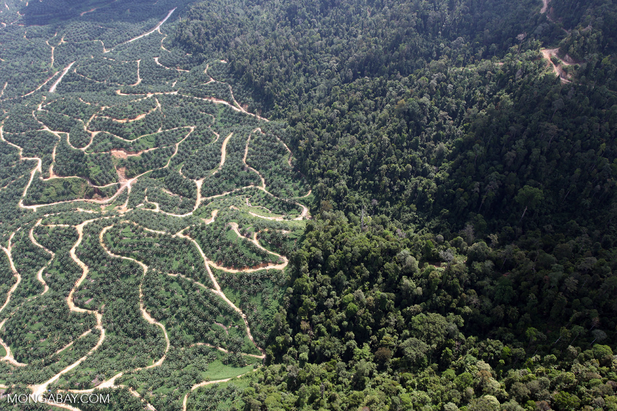
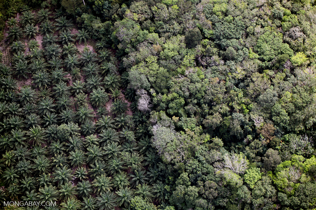
Carlson: For us, a lot of my research is on non-state governance methods. So I’m interested in oil palm certification systems, and zero-deforestation commitments by companies to change their practices so that they’re not driving deforestation. My research and my questions have a very clear focus on informing those governance approaches. Do they work? In what ways do they work? How could they be improved? For instance, with certification systems, we’re doing a lot of work to understand whether conservation set-asides within oil palm plantations, which are high conservation value (HCV) areas, once they’re set aside, do they actually protect forest or not? Or does deforestation continue to happen, even if it’s not due to oil palm expansions.
Those types of studies, we hope, can be used by governments and NGOs to improve conservation methods. We’re also always pushing for more transparency and more geospatial data provided by these companies, because that’s one of the biggest barriers to do this type of work. Monitoring of conservation areas and of concessions and properties is critical.
My lab has a couple of projects in Indonesia and in South America to understand how conservation interventions are affecting outcomes, and develop land cover change models for these scenarios. For example, if you implement a zero-deforestation commitment in one place, where might deforestation leak or spill over into other places? We’re trying to design a model that can do that without specifying too much. It’s a really interesting technical and analytical challenge.
The headlines when it comes to tropical forests tend to be bleak. What bright spots do you see that you feel more people should know about?
Carlson: The thing that gives me the most hope is my students. They’re so wonderful and they’re so hopeful and they see the world in a completely different way. At the University of Hawaiʻi I had so many students who were so passionate about conservation and they just didn’t understand why people would even do things like use plastic. I think maybe the generation that is 10 to 15 years younger than I am has a much more environmentally focused mindset. They see the problems and they’re worried about the problems. That’s really encouraging, and hopefully will trickle up to the government and the people in charge.
When it comes to deforestation, there’s not much silver lining. I mean, you look at the statistics just during the pandemic, when we see Brazil’s deforestation increase, and a lot of places in the world. As there’s less oversight of these rural areas by governments, there is more deforestation for various reasons.
That’s hard. And yet, on the other hand, I’m always reminded by my mentor, Greg Asner, the world will be fine. It will outlive us. Maybe it won’t have all the species we are used to today, but it’s a very resilient world. The interest humans have in preserving biodiversity and stopping deforestation is what we need and want for ourselves. So I always take comfort in that, that the world has always changed, and it will be different in a hundred or a thousand or a million years, but it will be OK.
Jardeleza: I agree, especially in terms of how students are very enthusiastic. I’m glad they are more aware they have to be more critical of their actions and their behaviors, and with social media they can also influence others — they have a wider scope. With the interest in science communication, it’s something that could help with these efforts. We’re starting to understand best how to communicate these initiatives, especially to local people. And the people in the locality, if we reach out to them and engage them, that would really help.
There are a lot of success stories with community-based forest management. We have here in the Philippines a group of people called Bantay Gubat. Bantay is to guard or protect, gubat means forest. These are essentially volunteers, protecting the forest, sometimes using their own resources. Just their passion to protect their own forest, even risking their own lives, is something that gets me going in this field and gives me hope. If we are able to connect the right people with each other, maybe we can have leverage points and really affect some form of effective conservation, especially in vulnerable sites.
Claudia Geib is the 2020 Sue Palminteri WildTech Reporting Fellow, which honors the memory of Mongabay Wildtech editor Sue Palminteri by providing opportunities for students to gain experience in conservation technology and writing. You can support this program here.


