- Reformist President Joko Widodo has called for a more transparent approach to governance in the resource-rich Southeast Asian nation, and activists agree that his administration has been more open than those of his predecessors.
- At the same time, the administration has withheld from the public key data and documents related to the country’s forestry, agribusiness and mining sectors.
- Some civil society groups are seeking access to the shapefile format of certain data, which allows for much more sophisticated analysis than do the .jpeg and .pdf files the state is willing to part with.
- In October, Indonesia’s freedom of information commission ruled in favor of a case brought by Greenpeace, asking the forestry ministry to publish a number of geospatial maps in shapefile format. The ministry’s lawyers are challenging the decision, arguing that the shapefiles could be manipulated by third parties.
JAKARTA — The Indonesian Ministry of Environment and Forestry is going to court over a successful freedom of information request by Greenpeace, setting the stage for a protracted legal battle over a form of data NGOs say they need if they are to play a monitoring role in the world’s third-largest democracy.
Greenpeace Indonesia on Oct. 24 won its yearlong suit submitted to the Central Information Commission (KIP) against the ministry demanding access to seven different geospatial maps of Indonesia, including those showing oil palm, timber, and mining concessions as well as the archipelago country’s land cover.
The group argued its case under the 2008 Freedom of Public Information Law, which established the KIP. “This is exciting news for us,” Greenpeace’s Kiki Taufik said immediately after the ruling came down. “The commission has made the right decision.”
Last month, though, the forestry ministry appealed the decision to the Jakarta State Administrative Court, chiefly arguing that compliance would violate the 2011 Geospatial Information Law.
The case hinges on Greenpeace’s request for the data in shapefile format. The NGO says it used to be able to obtain shapefiles from the ministry simply by asking. Since 2013, however, the ministry has only provided access to .jpeg and .pdf forms of the data, arguing that the geospatial law forbids the release of shapefiles.
Shapefile format (.shp) is a widely preferred version for analyzing geographic information as it enables overlaying different maps with higher accuracy and legitimacy due to its digital signatures feature.
Using geospatial data in .jpeg or .pdf format requires manual digitalization which poses more chances of deviation. On a mapping scale of 1 : 250,000, a mishap of 1 millimeter during the digitalization process results in a deviation of 250 meters in the field. That can make monitoring the activities of extractive companies and agribusinesses highly challenging for watchdogs like Greenpeace.

The geospatial law, indeed, stipulates that the government can only release officially legitimate geospatial information to prevent risks of data misuse or alteration. The sanction for officials who inappropriately release data is a maximum of two years behind bars and fine of up to 500 million rupiah ($37,400). Should the violation pose a danger to a person or thing, the suspect faces three years prison time and fine of 700 million rupiah.
In addition to that regulation, the forestry ministry also issued in 2014 a memo exempting the publication of shapefile data by its various departments.
“The consequence for [breaking] the law is imprisonment. [Besides], there isn’t a technology yet that can legitimize these shapefile maps,” Novrizal Tahar, who was then a spokesperson for the ministry, was quoted as saying in October by the daily Kompas.
The ministry, which did not respond to Mongabay’s request for comment, is not the only one to express concerns about the consequences of shapefiles made public. One of the four judges in Greenpeace’s KIP case had a dissenting opinion, pointing out that shapefiles are vulnerable to alteration because they lack the capacity to be legally legitimized. The means to digitally sign or watermark a shapefile — often used as an official stamp on .jpeg and .pdf files released by the ministry — remains unavailable for the format.
“It is relevant enough that shapefile data are information data that can be exempted [for publication],” said judge John Fresly.
Purwadi Soeprihanto, executive director of the Indonesian Association of Forestry Concessionaires (APHI), did not respond to requests for comment. However, he is understood to oppose the release of shapefile data, according to a Kompas article published in October.
Greenpeace says the data can be legally released. The NGO pointed to an article in the geospatial law that requires maps of Indonesia’s natural resources to be legitimized by a relevant official before being shared with the public.
“It [the law] does not specify how that [legitimization] must be done,” Greenpeace forest campaigner Ratri Kusumohartono told Mongabay. “The ministry can do that by providing the data via official channels, for example via an official government website, or in a CD or USB stick along with a signed and stamped letter.”
Greenpeace acknowledged the risk that someone could, say, alter a shapefile map of a company’s concession to manufacture a border conflict and extort the firm, but argued that such threats pertain to other formats — print, .jpeg, .pdf — with which the ministry has officially parted.
“What the government can do to avoid this problem is to provide open public access to the official maps — online — so anyone can check the official map at any time, without relying on possibly falsified maps provided by third parties,” said Kusumohartono.
If that’s still too risky for the ministry, Dessy Eko Prayitno of the Freedom of Information Network Indonesia (FOINI) suggested that the institution could also set up in its Jakarta offices a room for overlaying basic versions of maps with their shapefile equivalents, while forbidding the public from keeping it.

Raynaldo Sembiring, deputy director of the Indonesian Center for Environmental Law (ICEL), characterized the ministry’s appeal against the KIP ruling as a sign of aversion to transparency and accountability.
“It is very much possible for the ministry to allow limited access to shapefile maps through specific procedures, such as an agreement between the environment ministry and the receiver,” said Sembiring.
Greenpeace said the court had yet to set a date for the first trial in the forestry ministry’s case.
Greenpeace is not the only environmental pressure group to challenge the government over shapefile data related to the country’s vast natural resources. In 2014, the ICEL asked the KIP to order the forestry ministry to part with shapefile analytical maps of forest coverage in Aceh province, including parts of the nationally protected Leuser rainforest ecosystem. However, ICEL lost the case in February 2015.
Another ruling in favor of shapefile secrecy, Greenpeace said, would be a blow to Indonesia’s commitments to end deforestation by 2030 — as stated in the New York Declaration on Forests — and to curb emissions growth by 29 percent by 2030 — as pledged in the 2015 Paris climate change agreement.
The FOINI’s Prayitno gave President Joko Widodo’s administration credit for generally being more transparent than its predecessors. He said the forestry ministry had made an effort to involve civil society groups when revising some of its regulations.
But Greenpeace’s Kusumohartono called for more — starting with the release of the shapefiles.
“Transparency is an important key to end deforestation,” she said. “Being transparent on forest and plantation management will allow communities to be actively involved in the effort to end deforestation and prevent forest fires. The lack of political will from the government suggests that the government is putting industry’s preference for secrecy ahead of public’s demand for transparency.”
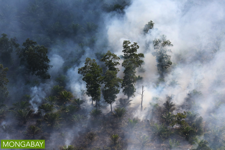
Banner image: An oil palm canopy in Indonesia, the world’s top palm oil producer. Photo by Rhett A. Butler


