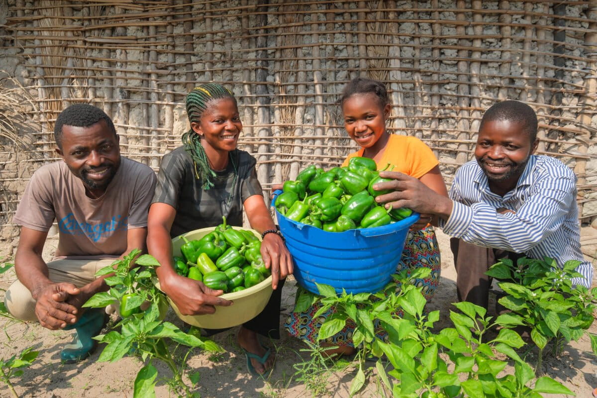
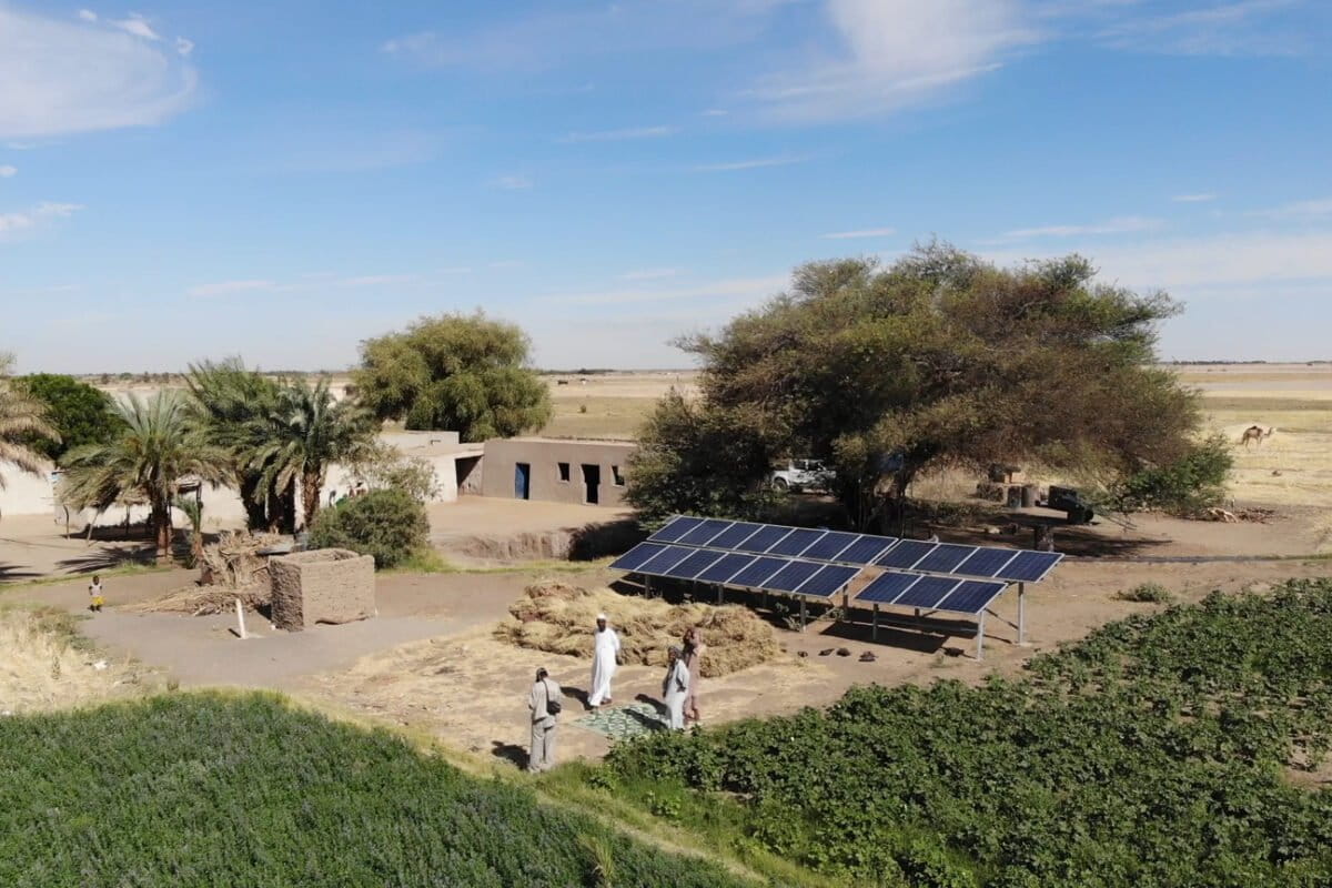
A decade after countries agreed to the Paris climate agreement, Mongabay reports on an idea often invoked when discussing Africa’s path toward a low-carbon future: a just energy transition. Reporters from across the continent explore what “just” and “clean” energy mean for Africans. These stories show African countries are pursuing their own journeys toward more […]
Kenyan wildlife census reveals conservation wins and losses
Lynet Otieno19 Dec 2025
Kenya’s 2025 National Wildlife Census report has revealed a complex trend in wildlife: Populations of some iconic animal species are steadily growing, while other populations are declining or remain stagnant.
At the launch of the report, compiled by the Wildlife Research and Training Institute (WRTI), Kenya’s President William Ruto described the findings as “a mosaic of wins and urgent conservation emergencies.”
The Dec. 11 launch brought together more than a dozen stakeholders in research and conservation. In the report’s recommendation the authors said the findings should shape policy for parks and community conservancies, by integrating “the national wildlife corridor mapping initiative and wildlife census data into national and county spatial and land use plans.”
At the launch of the report the CEO of WRTI, Patrick Omondi said, “We also recommend acceleration of enactment and implementation of the Wildlife Conservation Bill (2025) and complementary amendments on the Wildlife Act, 2023.”
The report highlighted a 4% increase in the populations of elephants as well as black rhinos (Diceros bicornis) and white rhinos (Ceratotherium simum), since the last census in 2021. The report estimates that Kenya is home to more than 40,000 elephants in the wild and just over 2,100 rhinos.
Giraffe (Giraffa) species saw a 5.4% increase in their populations; at least 43,000 individuals were counted.
Authorities attribute the growth to decades of efforts to end poaching in the parks, targeted translocation of the mammals, stricter law enforcement, community-led conservation and ecological connectivity.
However, the census also revealed the vulnerability of some species and habitats that underpin Kenya’s rich biodiversity. For example, the populations of lions (Panthera leo), cheetahs (Acinonyx jubatus) and African wild dogs (Lycaon pictus) all declined. Cheetahs and wild dogs each lost roughly half their populations over the last four years.
Data collected from at least 11 key sites show the populations of some wetland waterbirds are plummeting by upward of 80%. The range-land buffalo (Syncerus caffer) population also fell by more than 8%. The report authors suggest the buffalo decline may partly be a function of the different seasons in which the surveys were conducted and methodological differences; however, they caution, that shouldn’t reduce efforts to better manage the species.
The report calls for more targeted interventions to increase the small, fragmented populations of Grévy’s zebra (Equus grevyi), mountain bongo (Tragelaphus eurycerus) and the critically endangered roan (Hippotragus equinus) and sable (Hippotragus niger) antelopes.
To assemble the data, researchers compiled some 1,500 hours of aerial surveys as well as ground counts and camera trapping. They also applied modeling to avoid counting the same animals twice and dedicated coastal and marine assessments to count species missed by aerial methods.
The report is expected to inform government policies and planning at both national and local levels, resulting in better wildlife management.
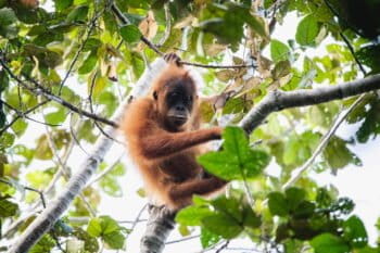
Banner image:Elephants in Kenya. Image courtesy of Nancy Butler.
Drug gangs in Ecuador and Peru also involved in shark fin trafficking: Report
Shanna Hanbury19 Dec 2025
Narcotrafficking gangs operating out of Manabí, a coastal province of Ecuador, are also involved in trafficking shark fins alongside their drug operations, according to a recent investigation by Ecuadorian news agency Código Vidrio.
Evidence from wiretaps, surveillance and raids seen by Código Vidrio reporters suggests that gangs are capturing and finning sharks and transporting the fins as a secondary income stream alongside cocaine and fuel.
According to Código Vidrio, Ecuadorian police say that shark fin shipments pass through the Galápagos Islands, where fins are preserved and stored, en route to Asia.
Carlos Ortega, the head of Ecuador’s antinarcotics police, told Código Vidrio that authorities seized two fishing vessels in 2024 and 2025 near the Galápagos carrying a combined 27 metric tons of shark fins. In both cases, the crews were on the same route that criminal groups use to deliver cocaine to Central America and the U.S., Ortega said.
Shark fishing is illegal in Ecuador, but a 2007 law allows for the sale of sharks caught as bycatch. This loophole has since made Ecuador a top exporter of shark fins, despite the ban on targeted fishing.
Código Vidrio’s findings follow an October 2025 Mongabay Latam investigation that revealed that Los Choneros and Los Lobos, two drug gangs, had teamed up with sea pirates to expand into fishing. Artisanal fishers in Ecuador and Peru told Mongabay the gangs had seized control of ports and forced fishers to pay them part of their earnings.
Other fishers are pushed into the high-risk activity of assisting the gangs in shipping drugs. The gangs make use of the small fishing boats, and the fishers’ expertise in navigating the Pacific, to transport drugs out to sea in several small boats. These shipments are then loaded onto larger vessels at sea.
After the drug delivery, the fishers begin casting hooked lines to catch sharks.
According to Código Vidrio, a fisher can make tens of thousands of euros for a successful drug shipment. Those who opt out remain at the mercy of the gangs in the open seas.
“Fishermen turn to these activities because of the insecurity at sea,” Freddy Sarzosa, a retired police general told Código Vidrio. “They are robbed by pirates, their outboard motors are stolen, and there are also critical factors like lack of job alternatives and precarious employment.”
The drug gangs’ expansion into illegal fishing has created a surge of violence. In 2024, 24 fishers were killed in Peru. Another 45 were killed in Ecuador, up from five in 2014.
“Friends of ours have died, several of them, shot in the head. They execute them. They [the pirates] carry rifles, good weapons,” a fisherman from Puerto Pizarro, a fishing town in northwestern Peru, told Mongabay Latam. “Why are they so heavily armed? Because of drugs. Drugs are gold.”
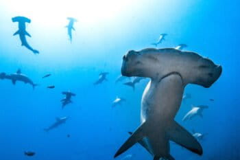
Banner image: Artisanal fishing boats. Image by Mongabay Latam.
EU votes to delay EUDR antideforestation law for second year in a row
Shanna Hanbury19 Dec 2025
The European Parliament voted on Dec. 17 to delay a key antideforestation regulation that was adopted in 2023 and originally supposed to be implemented at the end of 2024. The implementation was delayed a year to December 2025, and now the EU has voted to delay it yet again by another year.
The European Union Deforestation Regulation (EUDR) requires producers of seven of the key commodities that drive tropical deforestation — beef, cocoa, coffee, palm oil, rubber, soy and timber — to prove that their products are not sourced from land deforested after Dec. 31, 2020.
That requirement includes submitting geolocalized data. But in September, the European Commission cited concerns that its IT system wasn’t ready yet to meet that demand, as a reason for proposing a delay to implementation.
“This is the latest chapter in a farce that’s lasted more than two years, ever since the EUDR was passed with a huge democratic mandate,” Nicole Polsterer, sustainable consumption and production campaigner with the forests and rights nonprofit Fern, wrote Mongabay by email. “[This] decision puts forests on the chopping block and rule-abiding European businesses at a competitive disadvantage.”
The amendment confirms a blanket one-year delay, but small operators will have an additional six months after that, until June 30, 2027, to comply. The decision also introduces the opportunity for additional changes until April 2026 to “assess the law’s impact and administrative burden.”
European lawmakers voted 405 to 242 in favor of the change; eight abstained.
Polsterer criticized the decision to assess the law before it’s even been enacted, saying that without operational experience, there’s no real-world situation to assess. “Agreeing to review the law in April 2026 without this evidence enables anti-EUDR lobbyists to base proposals on what they think might happen rather than actual experience of the law,” she said.
The change also exempts paper used in books, newspapers and other products of the printing industry from the scope of the law — a development the UK Publishers Association celebrated. “It’s a common sense move given the legislation was never designed for our sector,” Dan Conway, the CEO of the Publishers Association, wrote in a statement.
Fern has criticized the pressure from lobbyists for the international pulp and paper industry, going as far back as July 2024, citing the American Forest and Paper Association’s claim that the companies they represent could not prove that their products were deforestation-free.
The recent vote confirms the final text of the amendment but it still needs to be confirmed by the Council of the European Union and published in the EU’s Official Journal before the end of 2025 to apply.
Banner image: Press conference following the vote to delay the EUDR, again. Image courtesy of Laurie Dieffembacq/European Union.
Tanzania’s tree-climbing hyraxes have adapted to life without trees
Ryan Truscott19 Dec 2025
Despite their name, tree hyraxes — small, furry, nocturnal African mammals — don’t always live in trees. In Tanzania’s Pare mountains, near the border with Kenya, they’ve adapted to life on steep rocky outcrops as forests disappeared over the centuries, a recent study has found.
Eastern tree hyraxes (Dendrohyrax validus) are known to inhabit the Eastern Arc mountains, which stretch from southern Kenya across eastern Tanzania, and the Zanzibar archipelago. They prefer old-growth evergreen forests, sheltering from the heat inside the cavities of large trees. But after centuries of agriculture, mining and logging, the Eastern Arc’s Pare mountains retain less than 3% of their original forest cover.
Hanna Rosti, a conservation biologist from the University of Helsinki, Finland, and colleagues observed hyraxes and recorded more than 700 hours of their calls at 18 sites across the Pare massif. Across all sites, the researchers heard tree hyraxes calling mostly from rocky outcrops and saw them seeking shelter in rock crevices.
A tree hyrax on a rock in the Pare Mountains. Image courtesy of Hanna Rosti.
The team also found that the songs of Pare hyraxes, including a distinctive “strangled thwack,” resemble those of eastern tree hyraxes on Mount Kilimanjaro and in Kenya’s Taita Hills. However, Pare hyrax calls differ markedly from populations elsewhere in Tanzania traditionally classified as the same species, including those on Zanzibar and other parts of the Eastern Arc.
This suggests the eastern tree hyrax populations in places like Pare and Kilimanjaro may represent a different taxonomic unit, though Rosti said not enough analysis has been done to formally split them into separate species or subspecies.
Trevor Jones, a conservation zoologist who works in the Udzungwa mountains, an Eastern Arc massif to the southwest of Pare, told Mongabay he’s familiar with the “ping pong” call of Udzungwa’s eastern tree hyraxes but not the “strangled thwack.”
“Clear acoustic differences can indeed be a strong indicator of divergence,” he said.
The Udzungwa hyraxes Jones is familiar with do inhabit trees, but he’s also seen them in cliffs and rocky crevices, even within undisturbed forest. This, Jones said, suggests that for eastern tree hyraxes, life in rocky crevices is an adaptation that pre-dates habitat loss, but is becoming increasingly useful now.
“These special beasts are in decline and so yes, we should also be protecting these rocky habitats, especially where they have lost their primary forest.”
The study’s authors say that Pare’s high number of inaccessible cliffs also offer tree hyraxes and other species in the area safety from hunters who kill them with spears. “There is statistical evidence that the height or slope of the crevice is important, because if it’s almost vertical the people won’t go to kill them that easily,” Rosti told Mongabay in an interview.
The closely related southern tree hyrax (Dendrohyrax arboreus) has also shown flexibility in its habitat: it’s been found sheltering in human-made structures, including at the Karen Blixen Museum’s old coffee factory in Nairobi, Rosti said.
Banner image: Eastern tree hyrax in Pare mountains. Image courtesy of Hanna Rosti.
Tiny Caribbean island brings hope for critically endangered iguana
Shreya Dasgupta18 Dec 2025
Over the past decade, Prickly Pear East, a small, privately owned island in the Caribbean, has become a beacon of hope for a critically endangered lizard.
The islet, near the main island of Anguilla, a British territory, is one of just five locations where the lesser Antillean iguana (Iguana delicatissima) is breeding and thriving, protected from invasive iguanas and human disturbances, conservationists say.
The latest surveys, from July, show the species’ population on Prickly Pear East has grown to more than 300 adults and adolescents — up from just 23 individuals that were moved there from Anguilla starting in 2016.
“This is a wonderful reward after having invested several years of work to plan this reintroduction, engage with their local communities, eradicate the non-native rats, and survey and protect the precious iguana population,” Jenny Daltry, Caribbean alliance director of the NGOs Fauna & Flora and Re:wild, which are supporting the NGO Anguilla National Trust in the iguana’s conservation, told Mongabay by email.
The lesser Antillean iguana was once widespread across the Caribbean, but habitat destruction, hunting, and the introduction of invasive species, including the common green iguana (I. iguana), led to its extinction across several islands.
It was also on the verge of being wiped out from Anguilla mainland. So, between 2016 and 2021, conservationists translocated Anguilla’s remaining 23 individuals to the uninhabited Prickly Pear East. The islet had a suitable habitat for the native iguana; it also lacked invasive iguanas, and conservationists had eradicated all invasive brown rats by 2018, Daltry said.
But there was a problem: the small population could suffer from inbreeding. So the conservationists reached out to the government of Dominica, one of the last strongholds of the lesser Antillean iguana. The government permitted 10 individuals to be moved from its island to Prickly Pear East.
A lesser Antillean iguana from Dominica receiving a health screening before being translocated to Prickly Pear East, an islet off mainland Anguilla. Image by Farah Mukhida/Anguilla National Trust.
Four years later, population surveys show the iguanas are breeding on Prickly Pear East, with their numbers increasing almost tenfold since the translocations. Conservationists have also collected DNA samples to monitor the genetic makeup of the rising population, Daltry said.
The conservation teams are now preparing to reestablish a secure population of lesser Antillean iguanas on Anguilla. For this, they’ve fully encircled Fountain National Park with a fence “designed to exclude cats, rodents, goats, green iguanas and other harmful non-native animals, to create a sanctuary for native wildlife,” Daltry said.
This new population will be important “not only to avoid Anguilla having all its eggs in one basket (Prickly Pear East), but to restore the iguanas’ place and role in their natural ecosystem. The iguanas are the top native herbivores and help to germinate and disperse seeds,” Daltry said.
She added the case of the lesser Antillean iguana shows how a group of dedicated individuals can achieve their dream of saving a species, given inter-regional collaboration and international support. “What greater legacy can there be?”
Banner image: A critically endangered lesser Antillean iguana in Dominica. Image courtesy of Andrew Snyder/Re:wild.
‘Neither appropriate nor fair’: Ecuador ordered to pay oil giant Chevron $220m
Shanna Hanbury18 Dec 2025
Indigenous and rural communities in Ecuador’s Amazon have condemned an international arbitration ruling that ordered Ecuador to pay more than $220 million to U.S. oil giant Chevron. The sum is to compensate the company for alleged denial of justice in a trial that found Chevron, operating through its predecessor Texaco, guilty of widespread environmental damage in northeastern Ecuador.
The Union for People Affected by Texaco’s Oil Operations (UDAPT), which represents six Indigenous nations and 80 communities, said the decision forces the Ecuadorian public to compensate a company after it caused one of the worst environmental disasters in the region’s history.
“It is neither appropriate nor fair. Chevron came to Ecuador, took more than $30 billion from the oil it extracted, polluted the Amazon, caused the extinction of peoples and the deaths of hundreds of people from cancer,” the organization wrote in a statement. “The affected communities took the company to court and won, yet now the entire country has to pay.”
In 1993, residents in the Lago Agrio oil basin sued Texaco, later acquired by Chevron, for environmental damage caused during its operations from 1964-1992. Ecuadorian courts found the company had opted for a substandard oil waste disposal system, which dumped more than 16 billion gallons (61 billion liters) of toxic water in at least 880 unlined open pits across the Amazon Rainforest. These pools contaminated groundwater, soil and rivers that local communities depended on for drinking, fishing, bathing and more, the rulings said. Oil spills and gas flaring were also frequent.
From 2011 to 2018, several Ecuadorian courts found Chevron guilty. The company was ordered to pay $9.5 billion to repair the damage done to the environment and impacted communities.
A U.S. court in 2014 refused to accept or enforce the ruling, calling the trials fraudulent. Chevron also sued Steven Donziger, a U.S. lawyer who represented the impacted Ecuadorian communities, in a New York court for allegedly financially benefiting from the Ecuador case. Donzinger was subsequently jailed for criminal contempt.
During the trials, Chevron took the case to the Permanent Court of Arbitration in The Hague, claiming Ecuador had violated its bilateral investment treaty with the U.S., and that one of the Ecuadorian judges had engaged in “corrupt collusion” with the plaintiffs. In 2018, the court sided with Chevron. The same year, Ecuador terminated its bilateral investment treaty with the U.S.
On Nov. 17 this year, the court’s arbitrators ruled Ecuador must pay Chevron more than $180 million in legal costs and more than $40 million in interest.
Chevron’s initial claim was for more than $3.35 billion Ecuador’s Attorney General’s Office celebrated the arbitration court’s decision, saying it spares the nation from paying $3.13 billion.
Nataly Morillo, Ecuador’s minister of government, called the decision unjust, while Amazon Watch, a nonprofit, called it “the epitome of environmental racism.”