- Equipping Indigenous communities in the Amazon with remote-monitoring technology can reduce illegal deforestation, a new study has found.
- Between 2018 and 2019, researchers implemented technology-based forest-monitoring programs in 36 communities within the Peruvian Amazon.
- Compared with other communities where the program wasn’t implemented, those under the program saw 52% and 21% less deforestation in 2018 and 2019 respectively.
- The gains were concentrated in communities at highest risk of deforestation due to threats like logging and illegal mining.
Teaching Indigenous communities in the Amazon to tap on remote-monitoring technologies during forest patrols can reduce illegal deforestation, a new study has found.
Researchers, whose work was published July 12 in the Proceedings of the National Academy of Sciences (PNAS), implemented technology-based forest-monitoring programs in 36 communities in Loreto, the northernmost department of Peru, between 2018 and 2019. They trained and paid three representatives from each community to patrol their forests monthly and verify reports of suspected deforestation using a smartphone application and satellite data.
Compared with 37 other communities in Loreto where the program wasn’t implemented, those under the program saw 52% and 21% less deforestation in 2018 and 2019 respectively. The gains were concentrated in communities at highest risk of deforestation due to threats like illegal mining, logging, and the planting of illicit crops such as coca to manufacture cocaine, the researchers found.
The collaboration between Rainforest Foundation US (RFUS), the World Resources Institute (WRI), Indigenous leaders and independent researchers is the latest in a growing body of research that says recognizing and protecting Indigenous rights is the most effective way to preserve natural rainforests. In Latin America, studies have shown Indigenous people to be by far the best guardians of forests in the region, with deforestation rates up to 50% lower in their territories than elsewhere.
One-third of the Amazon Rainforest falls within formally acknowledged Indigenous peoples’ territories. Community-based forest monitoring programs coupled with enforcement support from local officials could save one-fifth of the 2.7 million hectares (6.7 million acres) of rainforest in Brazilian and Peruvian Indigenous territories likely to be lost over the next decade, RFUS estimated.


Deforestation alerts from satellite data have long been publicly available. WRI’s Global Forest Watch (GFW) tool relies on an algorithm developed by university researchers to detect changes in forest cover through satellite imagery. In Peru, the national Geobosques platform uses GFW data to issue early alerts of suspected deforestation.
However, these alerts rarely filter down to remote rainforest groups lacking reliable internet access, resulting in communities often detecting illegal deforestation activities only when they are well underway and difficult to halt.
“The whole point is to put the deforestation information into the hands of those most affected by its consequences and who can take action to stop it,” Tom Bewick, who is the Peru country director for RFUS and who was involved in the study, said in a statement.
During the two-year study, researchers hired couriers to traverse the Amazon River and its tributaries every month to deliver USB drives containing Geobosques reports of suspected deforestation to remote communities.
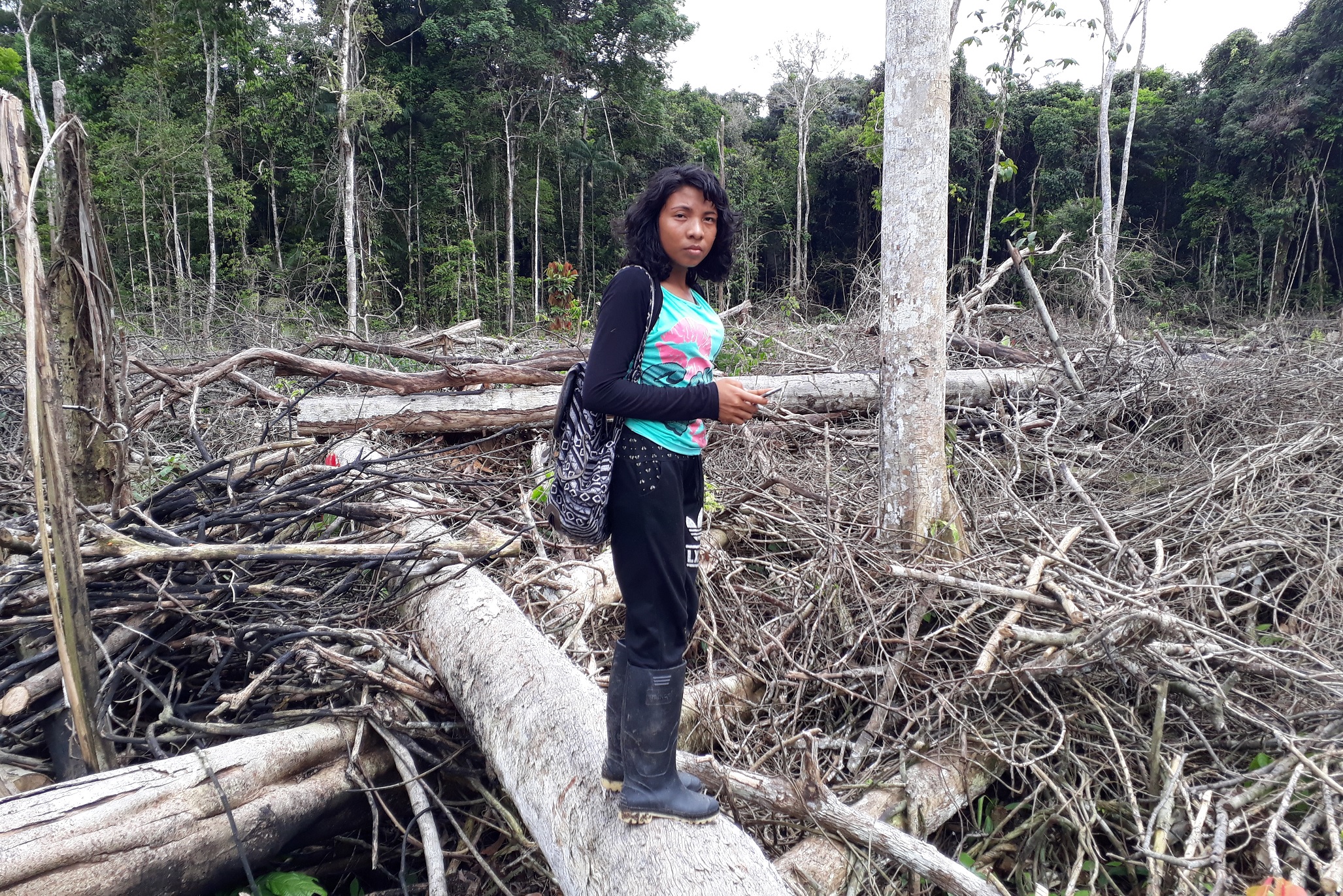
Trained representatives, or monitors, would then upload this information into a specialized smartphone application, which they used to navigate to the locations of forest disturbances during their monthly patrols. Where they identified cases of unauthorized deforestation, monitors would take photos as evidence and flag them to the community, which could then decide to report it to local authorities.

“We are helping them set up this system by which they can collect the evidence but our hope is that then we walk away,” Suzanne Pelletier, executive director of RFUS, said in a video. “They can then train others and be the model for thousands of other communities across the Amazon.”
Over the two-year period, communities under the program saved 456 hectares (1,127 acres) of rainforest, preventing the release of more than 234,000 metric tons of carbon emissions at a cost of $5 a ton. This makes it slightly more expensive than the $4.30 a ton average price of nature-based, forest management carbon credits in 2019, according to data from Ecosystem Marketplace.
But while nature-based credits have traditionally been plagued by the problem of leakage — where ecosystem conservation projects, even if successful in one area, often shift deforestation to another location — the researchers observed no such displacement of deforestation for the communities in their study.
They theorized this could be due to the inaccessibility of the forests in Loreto. “In the region that we study, in the general absence of roads, most transportation occurs by boat. As a result, the areas most vulnerable to deforestation are located close to navigable rivers,” they wrote in their report. Since Indigenous communities in Loreto also tend to live along the river, community-based forest-monitoring programs increase the cost of resource extraction, they said.


“The study provides evidence that supporting our communities with the latest technology and training can help reduce deforestation in our territories,” Jorge Perez Rubio, president of the Indigenous group Regional Organization of the People of the Eastern Amazon (ORPIO), said in a statement. ORPIO worked with RFUS and WRI to implement the forest-monitoring programs in the study.
“Our network is ready to partner with Rainforest Foundation US to apply this technology-enabled model to our community forest protection initiatives basin-wide,” Gregorio Mirabal, general coordinator of the Coordinator of Indigenous Organizations of the Amazon Basin (COICA), said in a statement. COICA, which was not involved in the study, is an umbrella association for Indigenous organizations in the Amazon lowlands, of which ORPIO is a part.
Banner image of Indigenous Kichwa from Pucayayu navigating through rainforest mangroves en route to investigate deforestation alerts by Gilbertano Salazar Mamallacta.
Editor’s note: This story was supported by XPRIZE Rainforest as part of their five-year competition to enhance understanding of the rainforest ecosystem. In respect to Mongabay’s policy on editorial independence, XPRIZE Rainforest does not have any right to assign, review, or edit any content published with their support.
Citations:
Slough, T., Kopas, J., & Urpelainen, J. (2021). Satellite-based deforestation alerts with training and incentives for patrolling facilitate community monitoring in the Peruvian Amazon. Proceedings of the National Academy of Sciences. doi:10.1073/pnas.2015171118
Walker, W. S., Gorelik, S. R., Baccini, A., Aragon-Osejo, J. L., Josse, C., Meyer, C., … Schwartzman, S. (2020). The role of forest conversion, degradation, and disturbance in the carbon dynamics of Amazon Indigenous territories and protected areas. Proceedings of the National Academy of Sciences, 117(6), 3015-3025. doi:10.1073/pnas.1913321117
FEEDBACK: Use this form to send a message to the author of this post. If you want to post a public comment, you can do that at the bottom of the page.