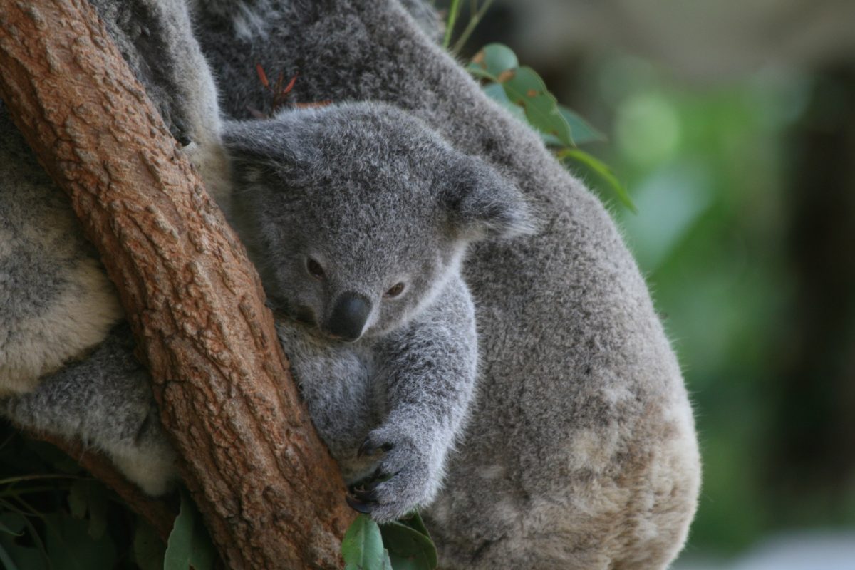
- Unmanned aerial vehicles (UAVs) paired with artificial intelligence image processing can provide data that helps researchers evaluate the health and conservation status of Australia’s koala population.
- Programming UAVs with a complex hierarchy of algorithms, designed to identify and differentiate between individual animals in the wild, allows researchers to automatically classify data while conducting aerial surveys.
- Researchers continue to advance the program’s algorithms to make this monitoring method more accurate, powerful, and widely applicable.
In recent years, unmanned aerial vehicles (UAVs) have increasingly been used to monitor wildlife populations from above, but artificial intelligence has taken drone technology one step further.
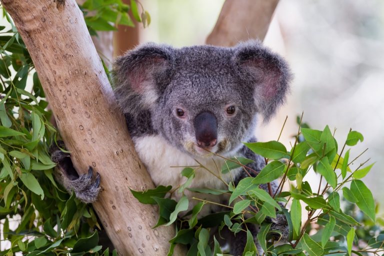
Koala populations are declining across their range in Australia due to habitat loss and fragmentation. Researchers at the Queensland University of Technology (QUT) are conducting aerial surveys using UAVs, or drones, to monitor vulnerable koala populations across different terrains. Programming sensors (standard and thermal video cameras) carried by the UAVs with a complex hierarchy of algorithms, designed to identify and differentiate between individual animals in the wild by adjusting for variables such as color, shape, and size, allows the researchers to automatically classify the data collected during the aerial surveys. The image processing capacity of these drones automates the process of identifying animals through visual and thermal imagery and artificial intelligence data processing.
According to Dr. Felipe Gonzalez, who leads the project, “A key element of our research is that the data processing has automatic detection so that you don’t have to go through the imagery. [The system] also has the ability to geolocate where the wildlife was detected at that point in time. The UAVs have a GPS, so each frame captured by the camera is stamped with GPS [information].”
The QUT researchers compare aerial counts to ‘ground truth’ counts conducted by rangers on foot within the same area to test the accuracy of the system’s capacity to recognize patterns from the thermal sensor. Within the testing stage, these trials must be administered in areas that are accessible to people on foot, but once algorithms have been fine-tuned and are ready to be applied in the field for wildlife monitoring, they will allow researchers to fly UAVs over tracts with dense vegetation that are difficult to access.
The QUT team must account for a host of different variables in developing the program’s algorithms.
“One of the difficult variables that will affect the capacity of the algorithms to work is the camera that we use,” explains Gonzalez. “Another is the field of view.”
Adapting to varying light conditions in the field, depending on location and time of day, is yet another challenge in using thermal cameras, as it “affects the temperature of the environmental conditions”.
“What we saw was that there’s a time in the morning when it’s really difficult to see or make sense of the data,” says Gonzalez. “There’s a lot of false positives [mistaking warmed-up vegetation for animals], so the ability to detect the wildlife is harder. Ideally, we would like to fly at night or really early in the morning, so we did the surveys … at first light — seven or eight or nine minutes before sunrise.” Flying UAVs when the trees and vegetation are still cool makes the warm-bodied koalas more easily detectable by the thermal cameras.
The researchers are also testing the capacity of combining UAVs and artificial intelligence data processing for monitoring dingo populations, which come into conflict with people in some areas.
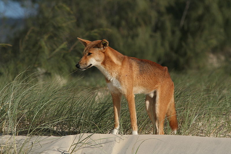
As Gonzalez describes, “We wanted to have the ability to fly early in the morning and then [have] someone walking through the bush before us or after us to count the koala population to validate the results. With the dingoes, it’s a little bit more challenging, because they’re [more] mobile… I guess the next step for us is getting the approvals and getting the access to fly at night… It would be really, really challenging for the algorithm to work at eight, nine o’clock in the morning, a couple of hours after sunlight. Because of that, you don’t have the ability to survey large areas, [since] your time window is limited.”
Gonzalez notes that the use of the technology is a process in evolution, which researchers must adapt not only to be more efficient, but also to meet ethical standards. “For instance, without special approval, the aircraft cannot be flown ‘beyond line-of-sight”, which can be especially difficult in areas with tall trees and dense vegetation. In such cases, researchers must fly the UAVs at high altitudes in order to maintain line-of-sight at all times, which weakens the drone’s ability to differentiate between animals.
The QUT team has developed standard operating procedures to reduce potential adverse impacts on wildlife. The thermal camera sends the UAV operator team an automatic video transmission to assess whether an animal being monitored is in distress so the team can immediately recover the aircraft if distress is evident. Another adaptation is to use more efficient technology that reduces noise, such as UAV models with quieter propellers. Researchers can also manipulate the take-off methods of the UAVs, taking off slowly and at a safe distance from wildlife, so that they do not startle an animal.
This same monitoring technology can be used to monitor feral animals. As feral dogs and cats kill native Australian birds and small mammals, including koalas, and non-native goats “affect farming and destroy some of the natural vegetation”, Gonzalez emphasizes the importance of assessing distribution of feral animals, as well.
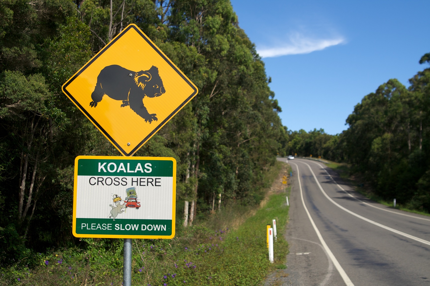
Gonzalez added that the construction of new roads and railways through the bush clears and damages koala habitats and creates open areas through which koalas become exposed to predators. Instead of the koalas moving along tree canopies, they must cross open corridors, which feral dogs have learned to use to find and attack them.
UAVs paired with artificial intelligence image processing can provide distribution data that helps researchers evaluate the health of Australia’s koala population and assists in efforts to relocate vulnerable populations to areas where they will be less threatened by human activity.
Gonzalez wants the algorithms to remain open-source, for use by researchers and conservationists worldwide for wildlife monitoring. Continual improvements to UAV imaging technology and the image processing algorithms will permit researchers and wildlife managers to detect individual animals across larger areas in ways that are faster and less invasive.
Featured image credit: Liz Lawley via Creative Commons license