Features
Videos
Podcasts
Specials
Articles
Shorts
Donate
English
Español (Spanish)
Français (French)
Bahasa Indonesia (Indonesian)
Brasil (Portuguese)
India (English)
हिंदी (Hindi)
বাংলা (Bengali)
Swahili
Videos
Podcasts
Articles
Short News
Feature Stories
The Latest
Explore All
Storms News
RSS
220 stories
L
G
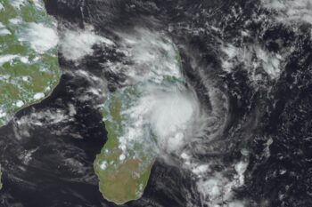
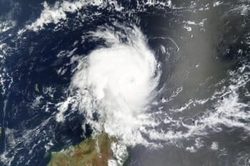
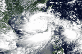
Cyclone Elvis kills 5 in Madagascar as another storm approaches
Kristine Sabillo
4 Feb 2025
Explosive ‘bomb cyclone’ pummels Europe, hitting UK hardest
Kristine Sabillo
28 Jan 2025
Smart tags reveal migratory bats are storm-front surfers
Kristine Sabillo
15 Jan 2025
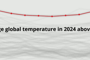
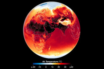
Global temperature in 2024 hits record 1.55°C over pre-industrial level
Shanna Hanbury
14 Jan 2025
At least 11,500 deaths linked to extreme weather in 2024
Shanna Hanbury
9 Jan 2025
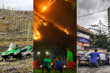
Climate change fueled record extreme weather events in 2024
Shreya Dasgupta
6 Jan 2025
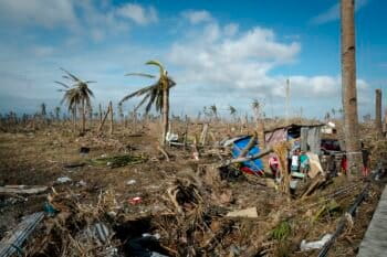
Thousands feared dead as Cyclone Chido devastates southeast Africa
Kristine Sabillo
18 Dec 2024
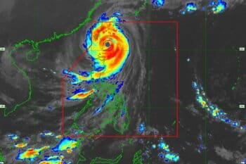
Philippines’ ‘extraordinary’ typhoon season was climate-fueled: Scientists
Kristine Sabillo
12 Dec 2024
World’s top court starts hearing historic climate change case
Shreya Dasgupta
5 Dec 2024
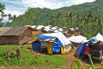
At least 146 dead in back-to-back tropical cyclones in Philippines
Kristine Sabillo
4 Nov 2024
As 25 Earth vital signs worsen, scientists warn of ‘irreversible climate disaster’
Sean Mowbray
15 Oct 2024
Climate change drives rise in rainfall, ‘Christmas typhoons’ in Philippines
Kristine Sabillo
11 Oct 2024
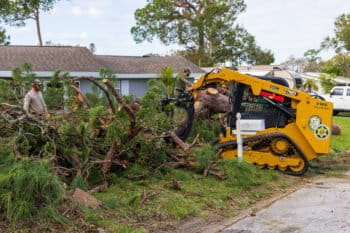
Typhoon Yagi death toll reaches 82 after ripping through northern Vietnam
Shanna Hanbury
10 Sep 2024
As lightning strike fatalities increase, Bangladesh still has no reliable preventive measures
Abu Siddique
1 Mar 2024
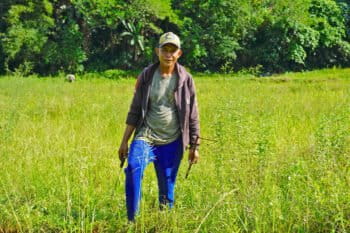
In Philippines, climate change tests Indigenous farming like never before
Keith Anthony Fabro
4 Aug 2023
Organic farming, and community spirit, buoy a typhoon-battered Philippine town
Keith Anthony Fabro
15 May 2023
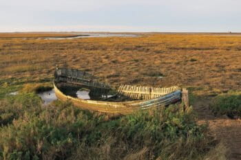
Global study reveals widespread salt marsh decline
Sean Mowbray
19 Dec 2022
Deadly landslides prompt Philippine president to call for tree planting
Bong S. Sarmiento
9 Nov 2022
As stronger storms hit Bangladesh farmers, banks are climate collateral damage
Maksuda Aziz
15 Aug 2022
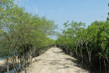
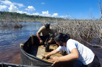
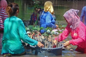
Bangladeshi coastal communities plant mangroves as a shield against cyclones
Abu Siddique
3 Jun 2022
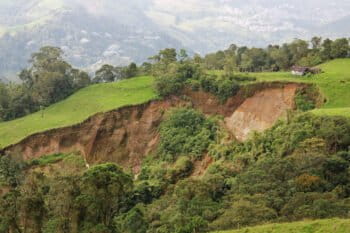
In landslide-prone Colombia, forests can serve as an inexpensive shield
Gianluca Cerullo
13 Apr 2022
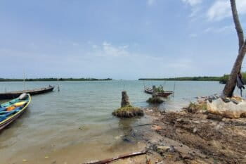
In Puerto Rico, a marathon effort builds to restore mangroves and dunes
Liz Yanira Del Valle Huertas
17 Mar 2022
As rising seas destroy Ghana’s coastal communities, researchers warn against a seawall-only solution
Erica Ayisi
4 Mar 2022
In trio of storms hitting Western Europe, role of climate change is complicated
Elizabeth Claire Alberts
22 Feb 2022
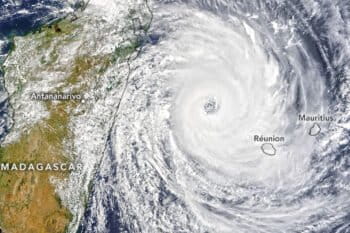
Two storms in two weeks carve trail of death and destruction in Madagascar
Mongabay.com
7 Feb 2022
Typhoon exposes biodiversity haven Palawan’s vulnerability — and resilience
Keith Anthony Fabro
24 Jan 2022
Coastal deforestation fuels more frequent storms in West Africa, study warns
Mongabay.com
11 Jan 2022
Women on storm-hit Philippine island lead Indigenous effort to restore mangroves
Keith Anthony Fabro
7 Oct 2021
US economy will take biggest hit if we continue with business as usual: report
Mongabay.com
10 Mar 2020
World is fast losing its cool: Polar regions in deep trouble, say scientists
Gloria Dickie
4 Dec 2019
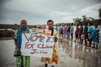
As climate chaos escalates in Indian Country, feds abandon tribes
Saul Elbein
1 Jul 2019
Climate change may make hurricanes and cyclones deadlier, study finds
Gianluca Cerullo
16 May 2019
« Previous
1
2
3
4
…
7
Next »
you're currently offline