- Indonesia plans to launch a satellite constellation starting in July to monitor its marine and fisheries resources more effectively.
- This constellation of 20 nanosatellites aims to actively manage conservation efforts and ensure economic benefits from marine resources.
- The satellites will feature radio frequency, imaging and vessel-tracking equipment, allowing officials “to know every condition in Indonesia from one [data] center.”
- Challenges such as budget cuts and low compliance among fishing companies underscore the need for technological solutions to protect Indonesia’s vast marine areas.
JAKARTA — Indonesia is developing a satellite constellation to beef up monitoring of its marine and fisheries resources with the maiden launch of a nanosatellite scheduled this July.
That inaugural launch will place into orbit the first of 20 nanosatellites, defined as no larger than 10 kilograms (22 pounds) each, that are expected to provide more efficient and accurate management of marine and fisheries resources. The Indonesian fisheries ministry said it will complement the nanosat constellation with sea drones to cover the maritime area of the world’s largest archipelagic country.
“[The aim] is to have a region where conservation used to be passive [now] becomes actively managed,” Aulia Riza Farhan, the ministry’s data director, told Mongabay on the sidelines of an event in Jakarta earlier this year.
“That means we will know exactly the updated situation and condition [of marine and fisheries resources], and know how to properly utilize it for either tourism or for small-scale fisheries, aquaculture, so that we can know for sure that the purpose of conservation isn’t to just shut off an area, but to provide economic benefits,” he said.
Indonesia’s marine area covers 5.8 million square kilometers (2.2 million square miles) and hosts the highest coral reef fish diversity in the world. High levels of monitoring, surveillance and enforcement are needed to effectively prevent destructive fishing and protect marine resources, experts say.

Aulia said the ministry would launch one nanosatellite in July and the rest over the coming years. Twelve of these satellites will have radio frequency equipment, five will have imaging equipment, and the remainder will be fitted with sensors tuned to the automatic identification system (AIS) for tracking ships at sea.
“With such a constellation of 20 nanosatellites, in 24 minutes we will be able to know every condition in Indonesia from one center,” Aulia said. “That will allow us to monitor vessel movement [and] monitor fish stock so that we can know more accurately our national fish stock.”
Fisheries and maritime security authorities in Indonesia have been developing strategies based on various technologies, including artificial intelligence, to boost surveillance more efficiently. These initiatives include the launch in July 2020 of the Indonesian Maritime Information Center (IMIC) by the Indonesian Coast Guard, and in September 2022 of the fisheries ministry’s Command Center.
The fisheries ministry is also developing two tools, namely ocean accounting and ocean big data, to help inform the government in policymaking and zoning when it comes to the country’s fisheries, conservation areas, and marine essential ecosystems such as seagrass meadows, mangrove forests and coral reefs.
The coast guard said it hoped the intelligence hub, the first of its kind, would help curb illegal, unreported and unregulated (IUU) fishing and other security incidents around Indonesian waters by enhancing and expediting coordination among the many agencies involved in regulating them and by offering a public-facing data-sharing outlet.
To optimize the satellite monitoring network, the fisheries ministry plans to roll out a program to fit small-scale and traditional fishing boats with tracking devices for free. Indonesian vessels larger than 30 gross tonnage (GT) are already required by the law to use the vessel monitoring system (VMS), which tracks the location and activities of commercial fishing boats. But these vessels only account for 10% of the domestic fishing fleet.

Aulia said the fisheries ministry has partnered with a Danish company for the nanosat launch, which will take place in India. Aalborg-based space company GomSpace said in a press release that it was awarded by the Indonesian fisheries ministry for a program to enable the “satellite constellation mission to support monitoring of marine and fisheries resources.” The statement said the direct contract value for GomSpace for the scope outlined was 59 million euros ($64 million) out of the total contract value of 150 million euros ($163 million). The remaining contract value will go to Ellipse Projects and a range of suppliers, including local Indonesia content suppliers, the statement added. The project is planned to be completed in 2027, pending the final contract start date.
“At GomSpace, we feel privileged to play a role in enhancing the ocean environment and monitoring ship traffic in Indonesia,” Carsten Drachmann, the GomSpace CEO, said as quoted in the statement.
In January, Indonesia’s fisheries minister, Sakti Wahyu Trenggono, met with representatives from Norway’s Kongsberg Satellite Service to discuss a potential partnership in developing hardware and software for maritime monitoring and detection of illegal activities at sea.
“Their satellites are also able to observe algae bloom and aquaculture,” Sakti said in a statement. “So if we can combine the technology here and the technology at the fisheries ministry, surely the results will be much better. That’s something we’re trying to approach.”
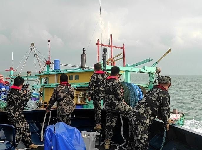
Regular sea patrols are costly and limited due to lack of infrastructure and human resources, especially for a massive archipelago like Indonesia with its thousands of islands. The fisheries ministry says it would “ideally need at least 78 boats, or more than double what it currently operates, to monitor the country’s waters against illegal and destructive fishers, both foreign and domestic. Other government bodies that patrol Indonesia’s waters include the Navy, the coast guard, and the police.
Budget cuts at the fisheries ministry in recent years have also led to a reduction in total patrolling time, according to a report by the Indonesian Traditional Fishers’ Union (KNTI). The ministry’s patrols dropped to a total of 84 days in 2019, from 270 days in 2015, the group reported.
The fisheries ministry also notes that compliance among fishing companies in Indonesia is low. The ministry has officially registered just 6,000 fishing permits, but the transportation ministry records some 23,000 permitted vessels.
Basten Gokkon is a senior staff writer for Indonesia at Mongabay. Find him on 𝕏 @bgokkon.
See related from this reporter:
Indonesia opens its ‘ocean account’ for sustainable marine management
FEEDBACK: Use this form to send a message to the author of this post. If you want to post a public comment, you can do that at the bottom of the page.