
- Mongabay has begun publishing a new edition of the book, “A Perfect Storm in the Amazon,” in short installments and in three languages: Spanish, English and Portuguese.
- Author Timothy J. Killeen is an academic and expert who, since the 1980s, has studied the rainforests of Brazil and Bolivia, where he lived for more than 35 years.
- Chronicling the efforts of nine Amazonian countries to curb deforestation, this edition provides an overview of the topics most relevant to the conservation of the region’s biodiversity, ecosystem services and Indigenous cultures, as well as a description of the conventional and sustainable development models that are vying for space within the regional economy.
- Click the “A Perfect Storm in the Amazon” link atop this page to see chapters 1-13 as they are published during 2023.
It all starts with a road. In Brazil, the federal government commissioned the construction of mule trails and telegraph lines to link their coastal cities with long-established settlements on remote Amazonian tributaries. In the Andes, communication between the highlands and the lowlands has occurred over millennia via trails that traverse the foothills using routes dictated by topography.
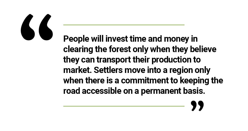
Most of these early roads had little impact on settlement and were associated with only a limited amount of deforestation, but most modern highways trace these routes into the wilderness. Deforestation occurs when a government sends a clear signal that it is investing in a major trunk highway; objectives vary, but have included strategies to integrate an isolated population centre, open a region to settlement and create access to a valuable mineral asset. Settlers move into a region only when there is a commitment to keeping the road accessible on a permanent basis.

There have been exceptions, particularly in Brazil in the 1980s, when the promise of future pavement did not materialize, but in general people will invest time and money in clearing the forest only when they believe they can transport their production to market. The examples are abundant and self-evident. All but six of the fifty human-modified landscapes defined in Chapter 1 are organized around a major trunk highway.
The existence and quality of secondary road networks is more important than trunk highways for determining the spatial extent and intensity of land use within a frontier landscape. Access roads change a linear deforestation vector into a two-dimensional front that can trigger a geometric expansion in the deforestation rate.
It is not sufficient just to have a secondary road network, however; it too must be open year-round in order to ensure that crops do not rot in the field. A functional secondary road network mandates investment in bridges, culverts and embankments; even more important is a budget to maintain these fragile assets in a region characterized by high seasonal rainfall.
The economic output of deforested lands is very much dependent on the quality of secondary roads because they connect ranches, farms, and plantations with the industrial infrastructure essential to agricultural supply chains, particularly grain silos, rice mills, palm-oil extraction refineries and beef-packing plants. An overemphasis on trunk highways at the expense of investment in secondary roads in consolidated frontiers is a misallocation of public investment that results in sub-optimal economic growth.

In aggregate, secondary roads require a greater investment than trunk highway systems, but the responsibility for building and maintaining these key transportation assets is almost always with under-funded local governments. Central governments have access to national budgets and international investment capital, which finance the construction of the trunk highway, but local governments must depend on limited revenues derived from local taxes or revenue transfers from the central government. Not infrequently, secondary roads are built by settlers out of necessity and constructed outside the framework of the environmental review and licensing system.
“A Perfect Storm in the Amazon” is a book by Timothy Killeen and contains the author’s viewpoints and analysis. The second edition was published by The White Horse in 2021, under the terms of a Creative Commons license (CC BY 4.0 license). See this excerpt in Spanish here and in Portuguese here.
Read the other excerpted portions of chapter 2 here:

Chapter 2. Infrastructure defines the future
- Infrastructure defines the future July 19, 2023
- Roads are primary vectors of deforestation in the Pan Amazon July 20, 2023
- The Human-Modified Landscapes (HML) and the Brazilian highway network July 26, 2023
- The Andean republics of the Pan Amazon July 26, 2023
- Infrastructure in the Andean Amazon: The Carretera Marginal de la Selva August 1, 2023
- Infrastructure in the Pan Amazon: The Guiana Shield and the Coastal Plain August 3, 2023
- Hydropower in the Pan Amazon: A shift toward reduced impact facilities, but the controversy continues August 9, 2023
- Hydropower in the Pan Amazon: The Guri complex and the Caroni Cascade August 11, 2023
- Hydropower in the Pan Amazon: Tucuruí and the Tocantins Cascade August 16, 2023
- Hydropower in the Pan Amazon: The Madeira Hydropower Complex August 17, 2023
- Hydropower in the Pan Amazon: Belo Monte and the Río Xingu August 24, 2023
- Hydropower in the Pan Amazon: The Tapajós Basin and the prevalence of Indigenous rights August 25, 2023
- Hydropower in the Pan Amazon: Río Trombetas and Calha Norte August 29, 2023
- Hydropower in the Pan Amazon: Bolivia seeks an energy export model August 30, 2023
- Hydropower in the Pan Amazon: A look at the private energy sector in Peru September 5, 2023
- Hydropower in the Pan Amazon: An overview of the private energy sector in Ecuador and China’s role September 6, 2023
- The future of hydropower in the Pan Amazon September 12, 2023
- In the Amazon, global competition drives bulk transport systems September 13, 2023
- Infrastructure in the Pan Amazon: Waterway options September 20, 2023
- Infrastructure in the Pan Amazon: Railroad development September 21, 2023
- Infrastructure in the Pan Amazon – Finance: What is new and what is not September 26, 2023
- Infrastructure in the Pan Amazon: Public-private partnerships September 27, 2023
- Investing in the Pan Amazon: How China’s investment operates October 4, 2023