- To predict deforestation risk in a protected area, look at the condition of its surrounding forests, according to a new study.
- The study, which analyzed satellite images of protected forests worldwide, found nearby forest loss to be a consistent early warning signal of future deforestation in protected areas.
- Researchers said national park agencies can use their proposed model to predict how vulnerable protected areas in their countries are to deforestation, and prioritize conservation efforts accordingly.
- But even as these agencies work to protect forests, they should take into account the needs of local communities living in the area, the researchers said.
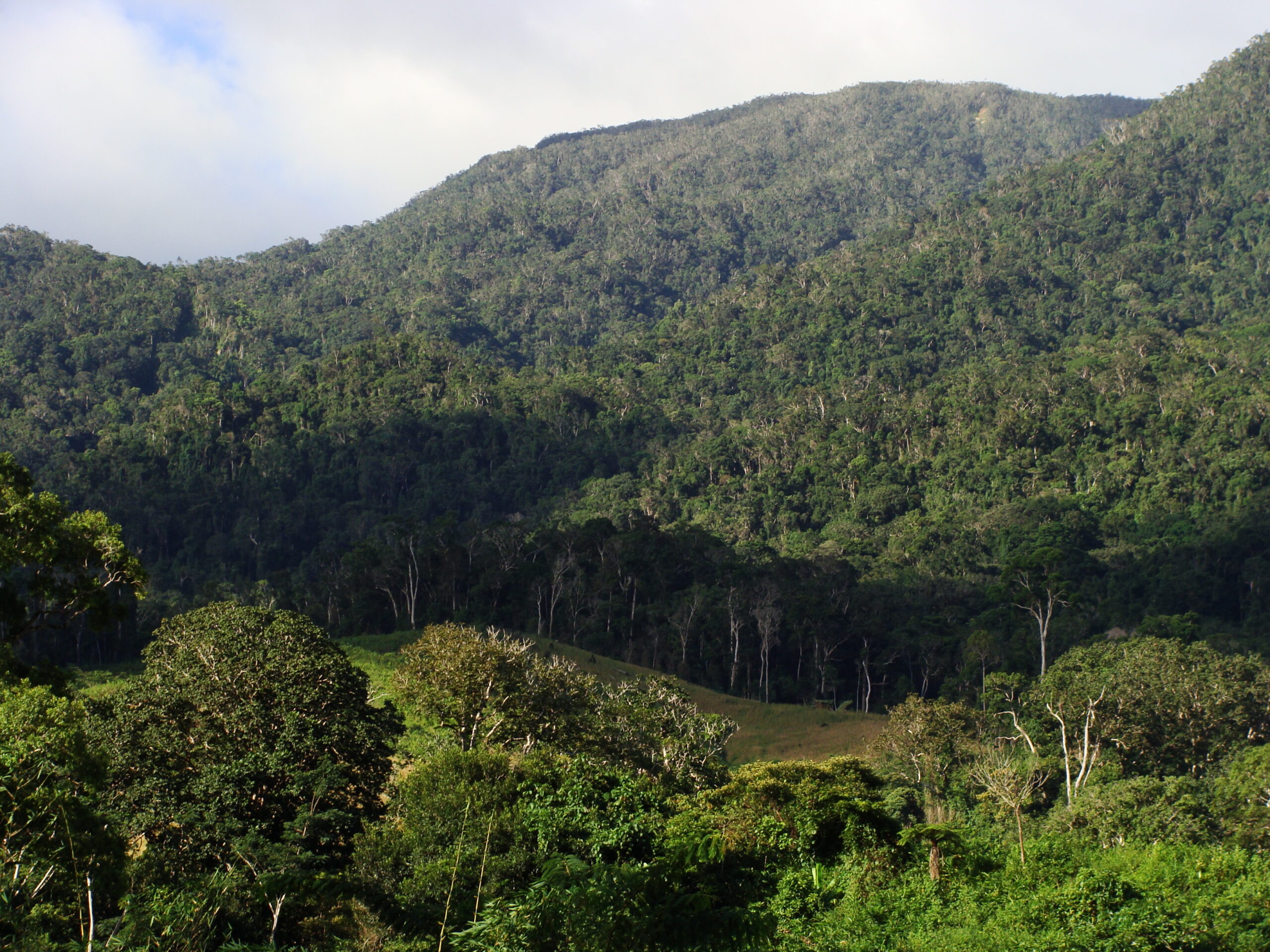
Protected forests, such as those in national parks, are unlikely to be cut down when surrounded by intact forests. Conversely, when a protected forest’s neighboring lands are degraded, it’s likely that deforestation will encroach into the protected area as well, according to a new study.
The study, which analyzed satellite images of protected forests worldwide, concluded that the extent of forest cover around a protected area is an effective predictor of future forest loss.
When more than 90% of a protected area’s surrounding land remains forested, it is likely to experience little or no deforestation. But when adjacent forest cover drops below 20%, the protected area is likely to start losing forest cover at the same rate as surrounding forests, as if it is no longer protected, the study found.
Researchers, whose paper was published August in Current Biology, gathered satellite images of every protected forest in the world from 2000 to 2018 and used Google Earth to analyze the relationship between forest loss within protected areas and forest loss in zones extending 5 kilometers (3 miles) from their boundaries.
“We wanted to find out what happens to the forests in protected areas when there is less and less forest around them — when their buffer zone starts getting less dense and more like a mosaic of forest and fields,” Zuzana Buřivalová, lead author of the new study and a professor of forest and wildlife ecology at the University of Wisconsin-Madison, said in a news release.
“Based on the percentage of forest cover around a national park, we can now predict and say: ‘Okay you should be careful right now’ or ‘You don’t have to worry just yet,’” she added.

Buřivalová said the researchers’ results should not be interpreted as defining “goals” but, rather, “taking the temperature” of protected areas.
“I would potentially be worried if someone said [as long as] we have this 5-kilometer buffer zone of forest around the protected area, then everything is okay,” she told Mongabay. “[Because then] they might not be worried about what happens after 5 kilometers and they might think, okay we can start deforesting a little further from the protected area.”
Instead, Buřivalová said, national park agencies should use the researchers’ results to identify at-risk protected forests in their countries, and prioritize these areas for conservation. Their proposed model, which predicts how vulnerable protected areas are to deforestation based on their surrounding forest cover, has been released for free use and can be run on publicly available platforms such as Google Earth.
“You don’t even need to have any computing power,” Buřivalová said. “Anybody can just use our code and all the analysis will be done by Google.”
The researchers demonstrated this approach on a wider scale in their paper. Using their model, they predicted forest loss in protected areas worldwide up to 2036, and highlighted national parks at greater risk of deforestation, including Ankarafantsika and Kirindy Mitea in Madagascar, and Virunga and Bassin de la Lufira in the Congo Basin.

Though forests in different regions tend to be cleared or degraded for different reasons, with threats ranging from large-scale logging and industrial agriculture to subsistence farming and even wildfires, nearby forest loss consistently serves as an early warning signal of future deforestation in protected areas, the team concluded.
For instance, in the case of industrial agriculture, plantations around a protected area may lead to deforestation in two ways: directly, when companies ignore land boundaries to encroach into protected forest, or indirectly, when companies take up land and, in so doing, force local smallholder farmers into protected areas for subsistence farming, Buřivalová said.
She added that scientists and forest planners ought to take the latter’s needs into account even as they prioritize conservation efforts. “They’re deforesting for a reason, they’re not doing it for fun … I would urge people using our results [to do so] in collaboration and in agreement with the local communities rather than [use the] results against them,” she said.
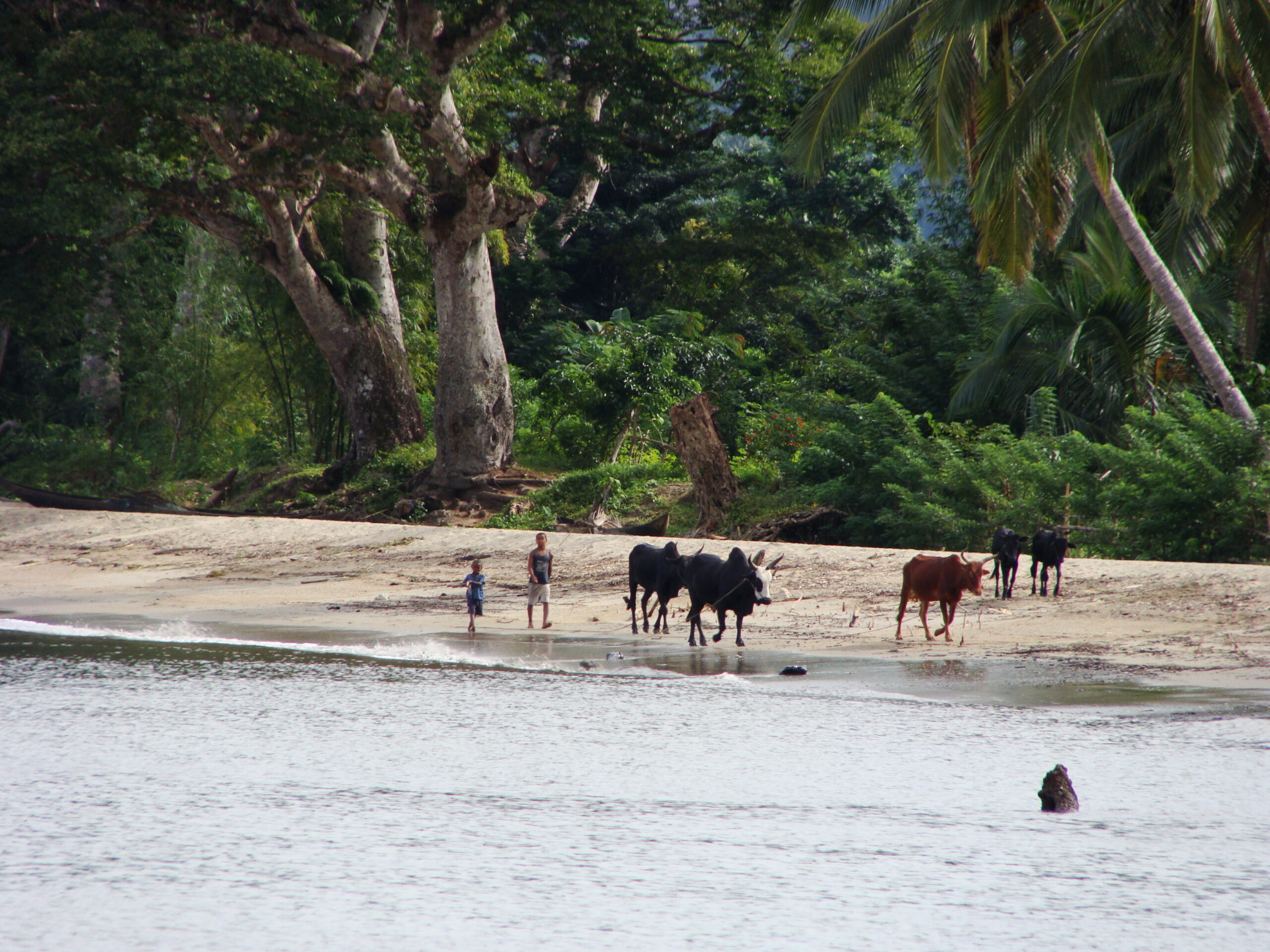
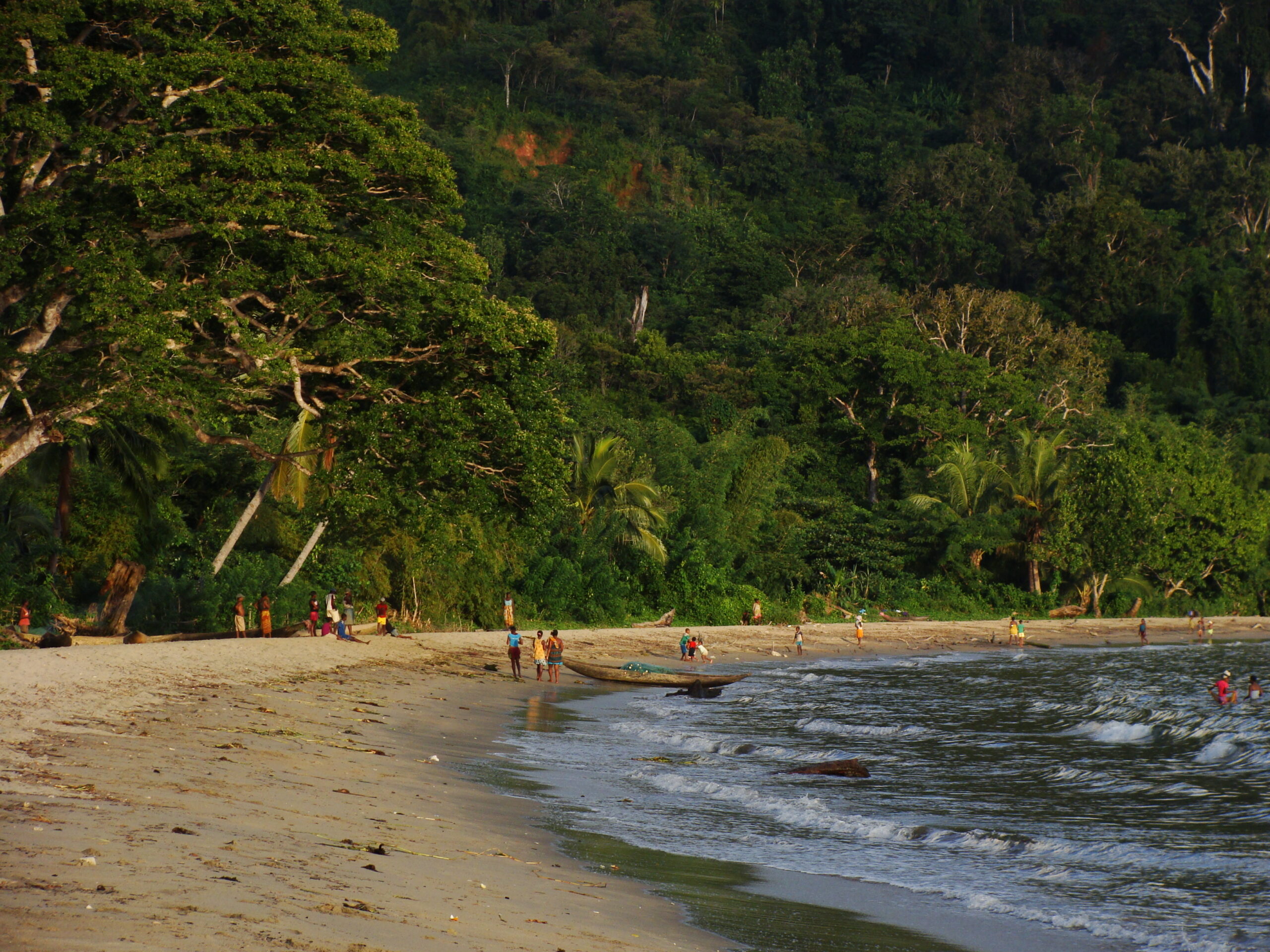
Buřivalová said she was first inspired to carry out her research 10 years ago, on a trip to Madagascar that took in newly established protected areas. “I was talking to people who live nearby, and they were saying they’ve been placed in the buffer zone of this protected area, and it was much smaller than what they had counted on for their [future] agricultural needs,” she said.
“The people were worried [that if they ran out of land] they would have to start going into the protected area,” she added. “As a conservation scientist, obviously I want everyone to protect forests, but I was really worried about these families.
“I felt [bad] that by doing conservation, we would be potentially harming somebody … and these kinds of conflicts and trade-offs are exactly what we need to work at in conservation,” she said. “If we ignore them, we won’t be able to move forward.”
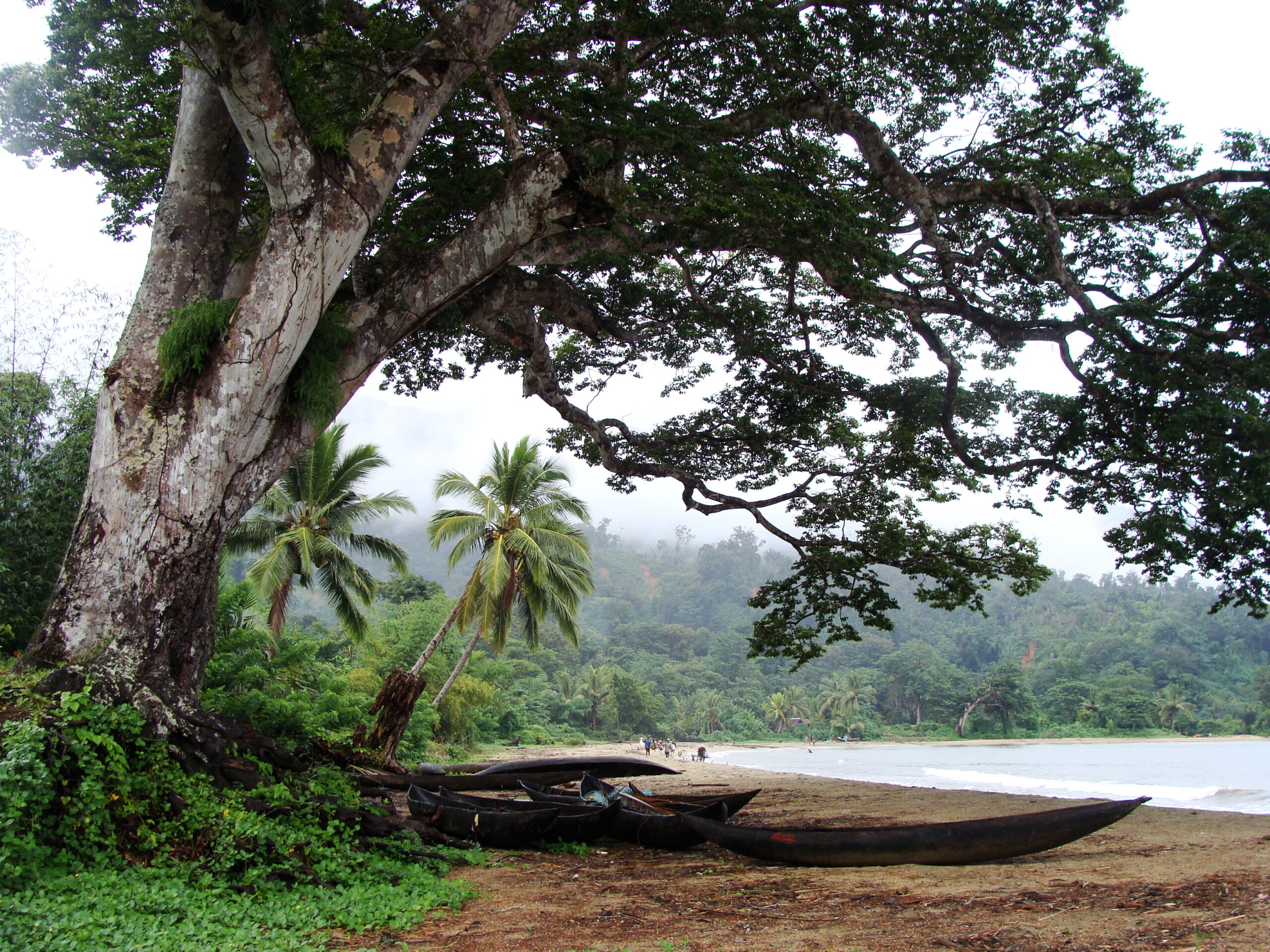
Banner image of residents at Ambanizana village near Masoala National Park in Madagascar, 10 years ago. Image courtesy of Zuzana Buřivalová.
Citation:
Buřivalová, Z., Hart, S. J., Radeloff, V. C. & Srinivasan, U. (2021) Early warning sign of forest loss in protected areas. Current Biology, 31, 1-7. doi: 10.1016/j.cub.2021.07.072
FEEDBACK: Use this form to send a message to the author of this post. If you want to post a public comment, you can do that at the bottom of the page.
Editor’s note: This story was supported by XPRIZE Rainforest as part of their five-year competition to enhance understanding of the rainforest ecosystem. In respect to Mongabay’s policy on editorial independence, XPRIZE Rainforest does not have any right to assign, review, or edit any content published with their support.