
- Rapid biological and social inventories produced by a team from Chicago’s Field Museum were the basis for new areas dedicated to conservation in Peru, a new study shows.
- In the Amazonian department of Loreto, territory covered under some category of conservation went from 2 million hectares to 8.5 million hectares (4.9 million acres to 21 million acres).
- The study found that advances in protecting Loreto allowed not only the region, but also Peru as a whole, to meet the Aichi Goal of getting 17% of the country’s territory under some category of protection.
“In 2000, Loreto had only one protected natural area, which was the Pacaya Samiria National Reserve (RNPS), today there are 14,” says Corine Vriesendorp, director of the Andean Amazon Program at Chicago’s Field Museum.
The advance in ecosystem conservation in Peru’s Loreto department is the result of a series of rapid biological and social inventories carried out between 2000 and 2016. This methodology focuses on identifying in situ those species that function as indicators of the conservation state of a habitat and that can be quickly inventoried. It’s basically a matter of registering the most important biological communities in the study area.

There were a total of 14 rapid inventories that became the base information for the definition of 11 of the 13 protected areas that have been created in the last 21 years.
The scientific research work that went into this endeavor is detailed in a new study published in the journal Science Advances.
The research shows how rapid biological inventories, carried out by a team from the Field Museum, were key to the creation of protected areas in Loreto. The region went from having 5.6% of its territory under some category of protection, to 23% of the same intended for conservation.
The research indicates that 8.9 million hectares (22 million acres) of forests were studied in Loreto, of which 5.7 million hectares (14 million acres) ended up forming part of the 11 new protected areas.
“In the Amazon, knowledge is very limited by the vastness of the territory. Thanks to these rapid inventories, new ecosystems have been discovered and new species have been found,” says José Álvarez, general director of biodiversity at the Peruvian Ministry of the Environment (Minam) and a co-author of the research. “They have helped us a lot to illuminate the landscape of biodiversity.”
Álvarez also explains that these inventories have made it possible to understand how the local population uses the resources, and that they have also served as a basis for preparing the files of the protected areas and supporting the authorities with the importance of protecting these ecosystems.
The academic study was prepared by 45 researchers from multiple universities, scientific institutions and state agencies.

Discovery of new ecosystems
For 16 years, rapid inventories have enabled scientists to obtain information about one of the most biodiverse areas on the planet.
“The rapid inventories allowed us to obtain new knowledge of both biodiversity and the aspirations of the people who live in these spaces,” says the Field Museum’s Vriesendorp, who is also a co-author of the study.

According to the study, Loreto went from having 2 million hectares (4.9 million acres) of protected territory (less than 6% of the department’s total area), to 8.5 million hectares (21 million acres) under protection (23%).
The study also found that this advance in the protection of Loreto allowed not only the region, but also Peru as a whole, to meet the Aichi Goal of getting 17% of the country’s territory under some category of protection.

In addition to the figures that account for the advancement of the protection of Loreto’s territory, the scientific findings uncovered some surprising information.
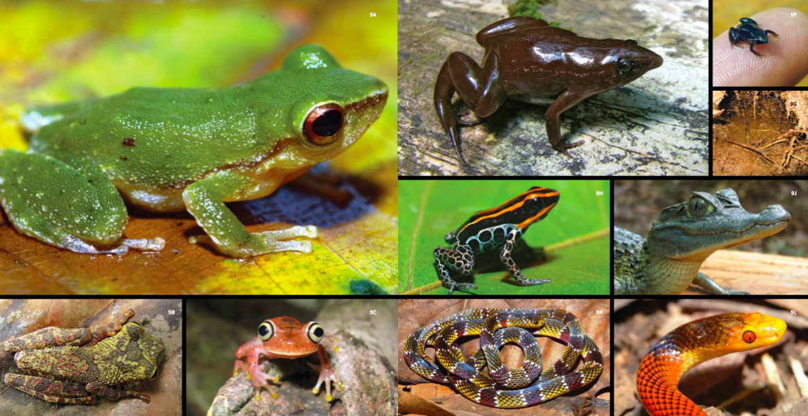
In total, researchers recorded 1,800 vertebrates and more than 2,400 species of vascular plants. The inventories also recorded 93% of Loreto’s known terrestrial vertebrate fauna and nearly all of the 75 globally threatened species in that group.
“Rapid inventories have allowed us to discover ecosystems that we did not know existed, such as tall forests,” says co-author Tony Mori, a consultant for the Peruvian Society for Environmental Law (SPDA).
In 2013, when researchers were developing an inventory of the Cordillera Escalera, in the territory of the Indigenous Shawi people, they found forests at an altitude of 2,000 meters (6,600 feet), Mori says.

“They were different, they had not been studied before and the flora species turned out to be new to science,” Mori says. This is typical of similar discoveries that occurred in other ecosystems. At Ampiyacu-Apayacu, “30 species of plants new to science were found,” Mori says.
The study also accounts for the discovery of 39 vascular plants new to science, along with 20 fish, 33 amphibians, three reptiles, two mammals and one bird that could be new species.
The rapid inventories in Loreto also recorded, for the first time, 64 species of plants, 10 species of amphibians, and five of reptiles.


The protected areas created as a result of the rapid inventories are the Yaguas, Sierra del Divisor, Cordillera Azul, and Güeppí national parks.
Also on the list is the Matsés National Reserve; the Alto Nanay-Pintayacu-Chambira, Maijuna, Ampiyacu-Apayacu, Tamshiyacu-Tahuayo regional conservation areas; and the Airo Pai and Huimeki communal reserves.
Working with communities
“These inventories highlighted what exists in the territories and that helped the native communities to learn more about their territories,” says Álvarez, from Minam.
Álvarez says the Field Museum has delivered the results of the rapid inventories to the communities that inhabit these territories. “We promote the productive conservation model, not a protectionist approach, but conservation for local development,” he says.
According to the study, the 11 protected areas declared after the rapid inventories directly or indirectly benefited 257 communities and Indigenous and peasant peoples of Loreto, comprising a total of 32,642 inhabitants.

Álvarez offers some examples of these efforts to boost the local economy through bio-businesses. One was implemented in the Tamshiyacu-Tahuayo Community Regional Conservation Area, where the Esperanza del Bosque cooperative, led by women, was promoted, making handicrafts with chambira palms (Astrocaryum chambira), wood, and seeds from the ivory palm (Phytelephas macrocarpa).
“In Loreto there was an anti-conservation mentality because it was thought that it limited the rights of the people. We demonstrated with a series of actions and with data that it was more advantageous to protect and sustainably use the resources than just to extract,” Álvarez says.
He cites the case of Alto Nanay-Pintayacu-Chambira, where an assembly of 250 leaders from more than 30 communities met to decide on the creation of the protected area.

“We presented three alternatives: leave things as they were, establish a national-level protected area, or a regional conservation area in coordination with the regional government,” Álvarez says.
The communities opted for the regional conservation area. “Over time, it was shown that many resources that were being lost have been recovered in a spectacular way, such as fish and wildlife. In addition, the large timber industries were prevented from entering,” Álvarez says, adding that the main potential of the forest is not the soil, but the forests and bodies of water.
Vriesendorp says the rapid inventories have also allowed people in Loreto to better know their territory, and that makes them identify more closely with conservation.
Vriesendorp says they are “interested in continuing to support the creation of other missing protected areas.” She notes that a vision of Loreto’s potential is key for “a region with its economy based on the sustainable use of resources, whose decisions take into account welfare criteria from the people.”

Citation:
Pitman, N. C. A., Vriesendorp, C. F., Alvira Reyes, D., Moskovits, D. K., Kotlinski, N., Smith, R. C., … Mesones Acuy, I. (2021). Applied science facilitates the large-scale expansion of protected areas in an Amazonian hot spot. Science Advances, 7(31), eabe2998. doi:10.1126/sciadv.abe2998
Banner image of a tiger leg monkey tree frog (Phyllomedusa hypochondrialis) in Peru by Rhett A. Butler.
This story was reported by Mongabay Latam’s team and first published here on our Latam site on Aug. 2, 2021.