- A new paper offers a protocol to help conservation practitioners integrate forest-monitoring technology with policy to reduce illegal deforestation.
- Public and private entities can more easily access the latest satellite-based remote-sensing technology to rapidly detect new deforestation, prioritize areas for action, identify the causes, and get the information to policymakers without delay.
- The study calls for increased use of satellite technology to improve the monitoring, understanding and communication of deforestation events, as well as increase engagement between government institutions and civil society.
A team of scientists and remote-sensing specialists have combined their years of experience monitoring changes in forest cover into a new publication meant to help fellow conservation practitioners better integrate forest-monitoring technology with policies to reduce illegal deforestation.
“The goal of the paper is to highlight the current unprecedented moment for near real-time deforestation monitoring,” said lead author Matt Finer, senior research specialist at Amazon Conservation Association (ACA). “The technology has evolved rapidly and now we need to link it to policy action.”
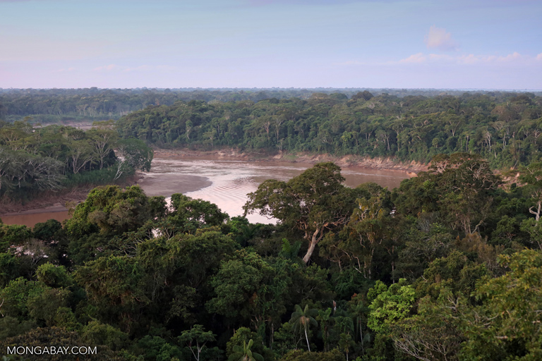
Technology for better data access, spatial resolution, temporal resolution, and sensing — all needed to monitor forests and other land cover change across various spatial scales — has evolved rapidly since the 1970s. For example, finer-scale imagery that is updated more frequently allows the remote detection of loss of tree cover earlier in the deforestation process. Freely available satellite data, from governments and private-sector miniature satellites, together with open-access software and increased computing power, such as by Google Earth Engine, enable even small nongovernmental groups to process large amounts of satellite image-based data.
Finer and his co-authors have used their experience combining these and other technologies to propose a protocol to detect, monitor and communicate deforestation to policy makers locally and globally.
“We propose a model for turning near real-time deforestation monitoring into action across the tropics,” said co-author Mikaela Weisse, research analyst at the World Resources Institute (WRI). “Key steps include quickly and precisely detecting new deforestation, prioritizing areas for action, identifying the causes, and immediately getting the information to policy makers.”
Detecting forest loss
The earlier practitioners can accurately detect forest loss, the better. Temporal comparison of freely available Landsat imagery already enables groups to detect vegetation cover change from forest to non-forest at a resolution of 30 meters (100 feet) every 16 days. Now, constellations of miniature satellites provide high-resolution (3 meters, or 10 feet) optical imagery on a near-daily basis.

“The capabilities of Earth observation satellites, such as spatial resolution, frequency, and accessibility, have all rapidly improved in recent years,” said Joe Mascaro, director of academic programs at Planet, the company behind the 175 miniature satellites that ACA uses for its high-resolution imagery. “The resulting unprecedented data sets the stage for effective near real-time monitoring of vast areas.”
Prioritizing data
Unprecedented data sets imply reams of information. But now even non-specialists can prioritize forest-change data — using software such as the GLAD forest change alerts created by the Global Land Analysis & Discovery lab at the University of Maryland and supported by Global Forest Watch — that identifies concentrations of pixels showing recent forest loss and alerts officials and others monitoring forest cover in that area. Users can now instruct software to prioritize those alerts that correspond to forest loss inside their specific area of interest, such as a protected area or buffer zone, to prompt a more timely response on the ground.
“GLAD alerts are proving to be extremely effective,” Finer told Mongabay-Wildtech. “Since they now cover some 23 tropical countries, that means consistent and reliable near real-time monitoring is now possible across the tropics, a huge advance.”
Identifying the drivers of deforestation
Establishing whether forest loss results from a new logging road or a mining operation will determine the appropriate policy action needed to address it. Researchers or authorities, for example, can visually scan high-resolution imagery from a suspected area of deforestation or inspect the area directly, either from the ground or from above, using a drone or other technology to obtain fine-scale aerial imagery.

The authors expect machine learning to play an increasing role in improving forest loss detection. In the future, the authors state in their paper, “machine learning may aid prioritization by highlighting the most important alerts on the basis of pattern (size and density), shape (linear), and location (overlap with areas of interest).”
They add that “machine learning could greatly enhance identification of major deforestation drivers (such as mining and agriculture) and even identify specific crop types (oil palm, cacao, coffee, soy, and so on) from satellite imagery.”
Communicating results quickly
In addition to relevant government officials, say the authors, journalists, researchers, civil society and private companies can act on forest loss information to bring about change. To act, people need clear, timely, accurate information they can understand.
Two cases in point are the authors’ own programs. The Monitoring of the Andean Amazon Project (MAAP), a program of ACA, produces periodic map-based deforestation updates from its near real-time monitoring efforts. Finer said his MAAP team “sends an email blast every time a new analysis is ready” to a mailing list with more than 2,000 recipients.
“A good percentage of those recipients are government and civil society, our primary audience,” he said. “We invest a lot of time and energy in producing both English and Spanish versions of everything, to amplify the audience. We also invest a lot of time and energy in making the reports, our final product, easily understandable. That means attractive and user-friendly graphics combined with super concise text.”
GFW’s Places to Watch, a series of web-based reports that highlight notable cases of recent tropical deforestation detected, in turn, by GLAD forest change alerts — another way to quickly inform both public- and private-sector actors.
Coordinated, informed institutions still needed
The authors stress the importance of coordinating efforts among various governmental and nongovernmental institutions to analyze, share, and apply the information that the technology provides to respond appropriately to illegal deforestation. Providing law enforcement officials with up-to-date information on the location, extent, and driver of deforestation events helps them make decisions and act more effectively.
“Near real-time monitoring can play a key role in implementing policies to support [forest, biodiversity and climate goals], providing timely data on where authorities should focus attention to reduce deforestation,” said Rachael Petersen, deputy director of Global Forest Watch at WRI.
The lower cost and greater ease of use of satellite data make it available to more officials, watchdog groups, and others interested in monitoring deforestation.
“Peru is building an innovative National Monitoring and Control System that coordinates among numerous national and regional government entities,” said Raul Garcia of Conservación Amazónica, a Peru-based conservation organization. “Peru considers technology as a key component for decision-making.”
“We often look at both GLAD and Geobosques [Peru’s own recently developed alerts] for important emerging deforestation fronts,” Finer said. “In general, it’s a good global model, a consistent global-scale dataset combined with specialized country data if the national capacity exists.”
A case study
Finer said MAAP’s work monitoring a road connecting two towns in northeastern Peru that was recently constructed through a conservation priority site was “a recent real-life example of implementing the proposed protocol.”

Although most of the new route crosses “permanent production forest” — a classification limiting use to forestry activities — the regional government financing the project has publicized that the road will encourage greater agricultural and livestock production in the region.
The group used the weekly updated GLAD alerts to detect the forest loss and then combined them with other spatial information to prioritize their analysis and identify the road as the driver of deforestation. MAAP analyzed the overlaid data and published its findings and associated maps to its large email list.
 |
 |
| The linear pattern of forest loss from the Yurimaguas-Jeberos Road extends out from areas that have faced extensive deforestation since 1990. Image courtesy of MAAP. Data: GLAD/UMD, PNCB/MINAM, Hansen/UMD/Google/USGS/NASA | The Yurimaguas-Jeberos Road runs through “permanent production forest”, in lighter green, and a conservation priority site, outlined in yellow. Image courtesy of MAAP. Data: GOREL, MINAGRI, MAAP |
The greater transparency provided by new remote-sensing technologies also means policymakers and companies can’t ignore the presence of illegal deforestation. Once MAAP identified the deforestation, Finer said, the Peruvian organization Derecho, Ambiente y Recursos Naturales (DAR) followed up with an insightful legal analysis. “This was a great example of synergy because that kind of analysis is totally out of our scope,” Finer said. “They identified the key legal issues in question, which are not being put to the regional government to respond.”
Citation
Finer, M., Novoa, S., Weisse, M.J., Petersen, R., Mascaro, J., Souto, T., Stearns, F., & García Martinez, R. (2018). Combating deforestation: From satellite to intervention. Science 360 (6395), 1303-1305. DOI: 10.1126/science.aat1203
FEEDBACK: Use this form to send a message to the editor of this post. If you want to post a public comment, you can do that at the bottom of the page.