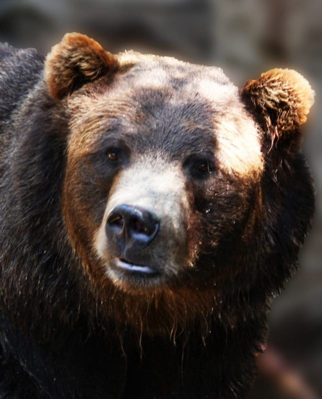
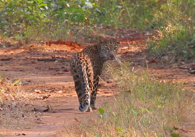
- Researchers just used a new optimization program to plan cost-effective joint movement corridors for grizzly bears and wolverines in Montana.
- The model is the first to systematically identify high-quality, multispecies tradeoffs between connectivity and budget and could be used to guide land purchases made with conservation funds.
- Scientists will soon apply the tool in the southeastern U.S. and Ecuador and are working on releasing it as a software package for conservation planners within the next year.
Not many people do what Dr. Bistra Dilkina does for a living. She’s one of many computer scientists at Georgia Tech, but she’s no ordinary tech whiz. For the past four years, Dilkina has been pushing boundaries in the pioneering field of computational sustainability, using her technical skills to optimize biodiversity corridor planning for multiple species and budgets.
Wildtech recently spoke with Dilkina about this unique intersection of technology and conservation. We discussed her latest study, published in Conservation Biology this fall, which applies an open-source tool for mathematical modeling and solver software to optimize movement corridors for grizzly bears and wolverines in Montana, as well as her similar research with other wildlife elsewhere.

Wildtech: Can you please tell us more about how the optimization program used in your study works?
Dilkina: The optimization problem we were trying to solve [was] how to find the best set of land parcels to buy such that they form a connected path between pairs of core habitat areas. We are trying to create plans for preserving wildlife corridors. Optimization is to find which corridors to buy such that they provide the best connectivity, meaning the lowest resistance to movement for the animals, but you have to stay within some budget. We take into account diverse land costs as well as suitability for the animal to move through those areas; we are optimizing connectivity subject to these economic constraints.
When you think about what this problem means, you can abstract it as a network design optimization problem and convert it to a mathematical model [that] has only linear constraints and objectives. Once you have created this mathematical abstraction into a mathematical model or mixed integer programming model, you can solve for this kind of problem. There is really powerful commercial software to solve them. We use some of those state-of-the-art software for these kinds of mathematical models—one of them is CPLEX, and another is Gurobi.
Wildtech: What is the significance of your research in computational sustainability for conservation?
Dilkina: We applied it in Montana, considered grizzly bears and wolverines. That’s been very useful because Montana is part of the western states region where there’s very active discussions about conservation measures and prioritization. Our partners from the US Forest Service are using the results and talking to policymakers, informing them about different tradeoffs, budget allocations, spatial prioritization, etc.
The significance is twofold. First of all, creating this model that allows for making conservation plans for connectivity is very important because a lot of the existing tools for conservation planning don’t allow for explicitly finding corridors. Our model allows for planning for corridors when we’re considering both biological benefits—connectivity for animals—as well as economic costs. What we show is that if you only try to find the best corridors in terms of connectivity, they might end up going through parts of the land [that] are prohibitively expensive. If you go with the other extreme and say, I only want to make sure that I conserve a corridor that connects those two important habitat areas—as long as there is a path for them to disperse between them, I am happy—then you can find really cheap paths, but maybe they go through areas that are really bad for the animals. This model allows for systematically finding tradeoff plans where the budget is slightly above the cheapest and you find a corridor that is much better quality.

[In] our application of this model to the study area in Montana, we showed that the cheapest plan is $3 million; the most expensive is $30 million, 10 times more. The $3 million plan was really bad in terms of connectivity. Increasing the budget by just $1.5 million to $4.5 million gives you connectivity plans [where] resistance is very close to the best possible ones. A little increase over the cheapest can give you a big jump in benefits. If you didn’t have this model where you can solve the problem under different parameters and budgets, you wouldn’t know about these relationships. That’s one big benefit, this [ability] to make systematic conservation decisions.
The main focus of the study was showing how making conservation decisions for multiple species at the same time is another way to put conservation dollars to best use. Very often, conservation initiatives are focused on a particular species. What our model and study show is that if you consider joint optimization, let’s say, for two species at a time, you can get better conservation value for both species. Divided decision making between the two doesn’t get as good results for each one because you can find corridors that are good for both and spend the money buying extra land for either of them. This study showed how optimizing for species together can have economies of scale. The more flexibility you have, the more things you consider when making decisions, the better it is.
Wildtech: How did you get involved in this work?
Dilkina: The idea behind computational sustainability is to get computer scientists, [who] have optimization, programming, software and mathematical skills to look at how they can leverage those computer science skills, to help in solving problems related to sustainability and sustainable development. I was looking for ways where optimization can help sustainability. I have focused on preserving biodiversity. That’s how my interest in conservation planning came, finding a way for computer science to help achieve sustainability goals.
At first, I was mostly working on problems related to conservation planning for a single species. When talking with different conservation partners and funds, I realized that each had different species of focus. It was an easy step from there, saying, if you all care about different species, why don’t we consider them together? This gave the idea of working on multispecies optimization.

I particularly like biodiversity conservation because this is a critical challenge we need to work on right now before it gets too late for many species. I saw opportunity for me as somebody who has optimization skills to make a difference because there [are] a lot of decisions that have to be made in biodiversity conservation, where you want to make sure you do the best possible within the economic limits.
Wildtech: What are the advantages and limitations of this technology compared to alternatives, if they exist? How could the program be improved?
Dilkina: For conservation planning, there’s a couple of decision support tools used on a regular basis, Marxan and Zonation. Those are very useful for doing conservation reserve design; however, they don’t explicitly allow for conservation planning. The newest versions have some way of incorporating connectivity as an additional [criterion], but they don’t allow you to plan for corridors that conserve paths of parcels. It’s unique that we are providing a tool that can conserve whole corridors.
The weak point where there is room for improvement is the methodology for solving this problem that we use, which is based on mathematical programming. [With] these problems, as the size of your decisions grows—for example, you have a larger study area, more parcels [among] which you can choose—the more time the solution process takes. This means that when you have bigger study areas or a finer resolution of decision making, it might take too long to find solutions. One way to improve that is to use the same mathematical model, but develop alternative solution methods, other algorithms, like local search algorithms, for this problem. Maybe we’ll not find as good solutions but take less time. We focused on developing the model to find optimum solutions because we felt that was more important. Also, a lot of conservation decisions are not taken in real-time; you can afford to let the algorithm run for a day or two or three as long as it gives you better solutions. If you wanted to make a plan on a very big scale, it might take too long.

Wildtech: What are your hopes for the tool going forward?
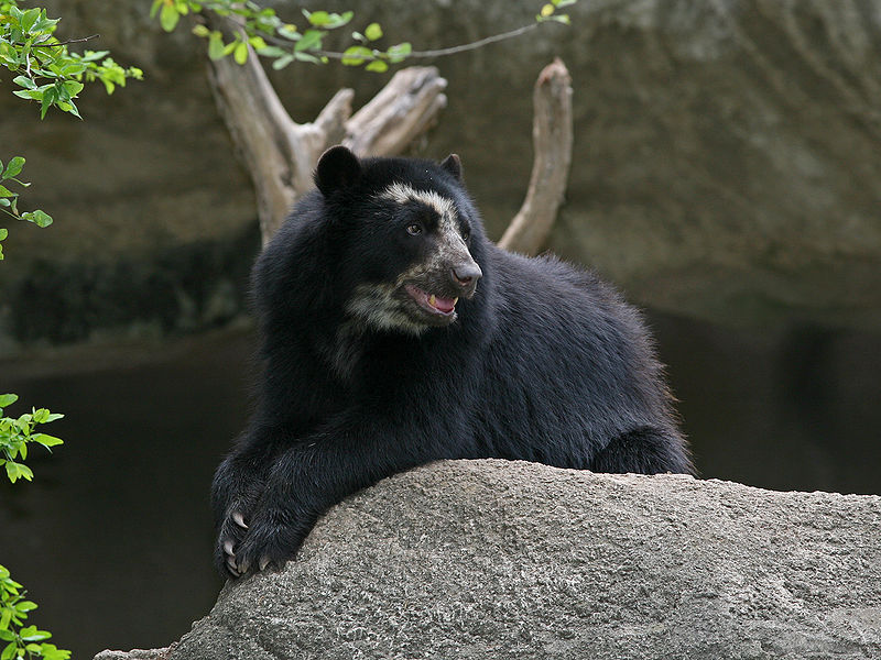
Dilkina: I’m starting a new collaboration with scientists from North and South Carolina in the Southeast. Now that I’m in Atlanta, I really like that I might impact conservation in my neighborhood. Most likely it will be smaller-size species; the scale might not be as coarse as for the bigger species. Another project we are applying it is in Ecuador, [where] I have a collaboration with Cornell University, the US Geological Survey unit and the New York Cooperative Fish and Wildlife Research Unit. I’m working with a biologist, Angela Fuller, for Andean bear conservation planning in Ecuador.
We just got funding approved for the Southeast one. We’re starting within the next month, discussing with ecologists, picking species, getting data. One of the biggest challenges for these conservation projects is getting economic data. Sometimes it’s very hard to find the prices of land. I find biologists and ecologists already working on estimations about species movement, working with species they are concerned with planning for. I make sure I have collaborators who know how to model this. It’s much harder to find people [who] work with economic data. Usually, it’s something we have to do ourselves, collect the data, process it, etc.

The first thing we need is a release that people can use the same way you have a software packaging of Marxan and Zonation. That usually takes much more additional time on top of research to document it and [make it] installable on different platforms. We are already working on that and hoping that within the next year we are able to release it as a standalone tool. I really hope it starts being used by conservation planners. These two projects I have right now are a good way for us to make it a standalone tool because now it’s not going to be only on the one case study we did. We’re going to make sure everything works with different inputs, species, countries. I would really like to see the outputs of the tool go into real decisions on the ground to spend money on conservation. I am hoping that we are going to really impact change.
