- SMART technology has helped wildlife rangers and managers in various countries improve their efficiency by tracking and analyzing signs of noteworthy or illegal activities observed during patrols.
- Using this data, SMART lets managers assess current threats, locate crime hotspots, focus limited resources and adapt enforcement approaches, making frontline conservation more effective.
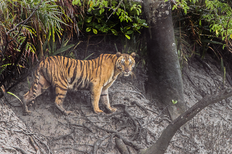
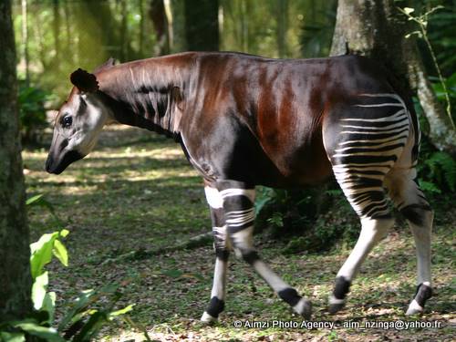
- It empowers rangers, managers and law enforcement to improve governance and help conserve threatened species such as saolas, okapis, elephants, dolphins and tigers.
Judging by his army green forester’s uniform, baseball cap emblazoned with a tiger head on the front and WWF panda logo on the side, and wildlife law enforcement experience, you wouldn’t think Jampel Landhep grew up shooting endangered animals.
When he was five years old, Landhep began hunting with his father, a Bhutanese poacher who scrupulously trained him in identifying wildlife signs and setting traps. Four years later, however, after killing a serow – a Himalayan goat-antelope – calf and its anguished mother, the ranger’s father cried and prayed in repentance, and taught little Landhep nonviolence toward animals instead.
After high school, the boy trained to become a ranger and put his father’s lesson into practice. Since 2011, he’s been atoning for his family’s poaching legacy by patrolling Bhutan’s Royal Manas Park, where he’s been using the Spatial Monitoring and Reporting Tool (SMART) over the past three years to enhance wildlife law enforcement.
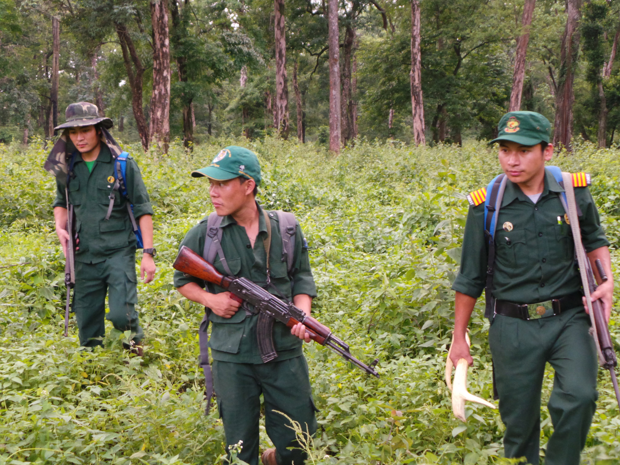
SMART software facilitates the management, analysis and reporting of observed field data, often within protected areas. Data collected during ranger patrols are fed into the program, which converts it to maps and other visual displays to help reserve managers see where rangers go, what they see and where, and how they respond. It is thus a tool for planning, adaptive management and capacity building that helps managers and other users identify current threats, crime hotspots, and potentially more effective enforcement approaches.
“I was delighted; finally something had the capacity to give me all the information I wanted,” writes Landhep in his account of being introduced to the technology by WWF and becoming a more effective ranger. “SMART transformed the way I do my job. Now I can play with software…It has made my patrolling objective clear, and every individual ranger’s work is being tracked by this system.”
Rangers regularly see poachers, traps, other illicit operations or animals along patrols. The SMART application processes the GPS coordinates of these and other signs of noteworthy or illegal activities observed by rangers, allowing managers to upload spatially referenced data to a computer and analyze it to generate statistics, maps and reports. Over time, analyses can better inform managers of trends in where wildlife are and when, forest use and poaching. Identifying these animal and human movement patterns enables managers to evaluate patrol efficacy, improve planning and decision-making and more effectively allocate often-scarce resources to the most problematic places.
“The SMART patrol report for March 2015 showed threats in certain points of the park. We patrolled those areas and within two days, we arrested three poachers and three illegal fishermen,” recalls Landhep. “I really, REALLY love SMART. Sometimes I’m very grateful…because if this system was there when my father and I were poaching, the rangers could have easily caught us.”
SMART can help bridge the widening gap between wildlife traffickers’ formidable organization, communication, arms and resources, and anti-poaching officials’ insufficient numbers, training, morale and equipment. Its use in managing, evaluating and responding to patrol data has raised rangers’ motivation, improved patrol efficiency, allowed for the transparent monitoring of anti-poaching efforts’ effectiveness, empowered law enforcement personnel and promoted responsible governance in protected areas around the world.
“It’s a great tool that allows people to be accountable to conservation. We say we’re doing such a great job here, and a species goes extinct, and we weren’t doing the great job we thought,” says Brian Smith, SMART trainer and director of the Wildlife Conservation Society (WCS) Asian Freshwater and Coastal Cetacean Program. “It gives early indications so you strengthen management before it’s too late. SMART gives immediate information from patrols that allows you to make adaptations to save wild places and species.”
The SMART setup includes a desktop application, training and implementation guides, online training resources, standardized protocols and a growing forum of contributing users. SMART is available in ten languages and compatible with GPS devices, including cellphones, both online and offline, which increases its frontline accessibility. Incorporating over a dozen open-source software components, the technology is freely available to anyone involved in wildlife conservation. It employs more sophisticated analysis and reporting than previous monitoring applications such as MIST, but also works with databases from such systems and data gathering technologies such as Cybertracker. The mobile software capitalizes on the now far-reaching network and relative low cost of mobile phones in developing countries, where poaching runs rampant.
Nine conservation institutions have partnered to develop and maintain SMART, with the aim of facilitating on-site law enforcement despite challenges posed by inadequate resources and action and intensifying wildlife crime. The SMART Partnership includes the CITES Monitoring Illegal Killing of Elephants program, Frankfurt Zoological Society, Global Wildlife Conservation, North Carolina Zoo, Panthera, Peace Parks Foundation, WCS, World Wildlife Fund and Zoological Society of London. Since its 2013 launch, it has seen several updates based on field feedback and been implemented at 140 sites in 30 countries, including Landhep’s.

In 2013, Save Our Species (SOS) brought SMART to Laos’ Phou Sithone Endangered Species Conservation Area (ESCA), where it aids law enforcement against the poaching of the saola, a critically endangered antelope-like forest bovine discovered in 1992.
“The SMART tool is very user friendly, and [with it] analysis and reporting of information is quicker,” remarks a Law Enforcement Supervisor from the area.
According to Smith, the technology has also improved patrols in Bangladesh’s vast Sundarbans mangrove forest since being introduced to protect, among other fauna, the world’s largest populations of threatened wild tigers and freshwater dolphins.
“We can see all the tracks of all the patrols. They’re more comprehensive now. Earlier they were covering a smaller area and weren’t getting into smaller channels where illegal activities occur, particularly poaching and poison fishing,” he points out. “It’s ensured that when they’re encountering illegal activities, they’re taking action because you have data.”
Similarly, with SMART assistance, WCS has enhanced efforts to safeguard endangered species, such as the forest elephant and okapi in the Democratic Republic of Congo’s Okapi Faunal Reserve (OFR). Project coordinator Robert Mwinyihali reported patrol coverage had more than tripled to 36% of the reserve between March and October 2014. Additionally, field staff arrested multiple poachers, confiscated seven weapons, seized almost 50 kilograms of ivory and expelled 5000 illegal miners at the end of that year. SMART also aided managers in planning well-coordinated patrols, evaluating and modifying monitoring strategies, assessing rangers’ performance and rewarding good work with bonuses.
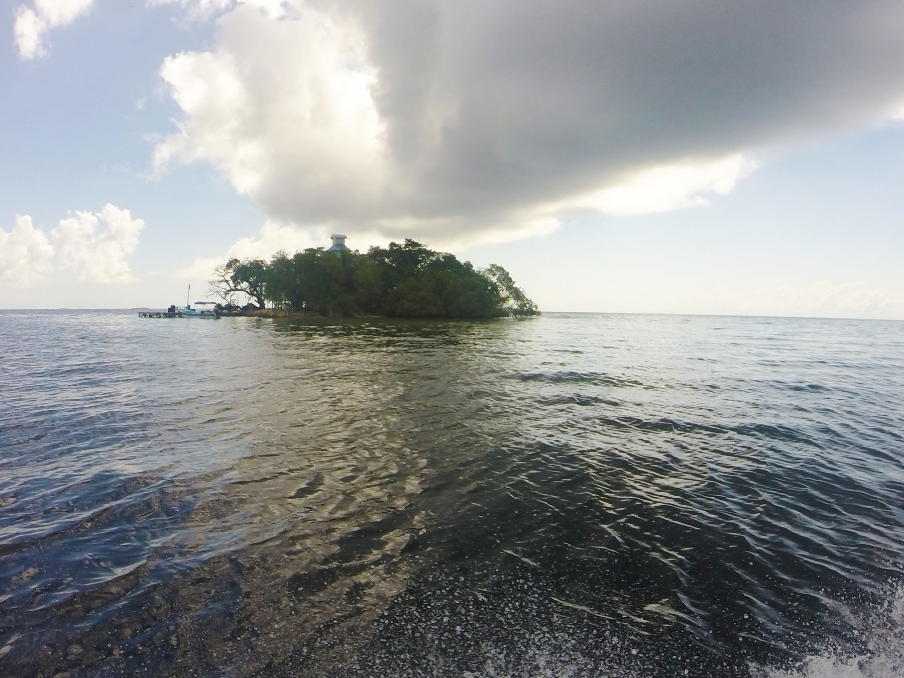
In the tool’s first oceanic deployment, SMART has helped Toledo Institute for Development and Environment (TIDE) field and office staff collaborate to counter illegal fishing in Belize’s Port Honduras Marine Reserve (PHMR).
“SMART is helping rangers prove to management the work we do,” says one PHMR ranger. “We have seen the areas that need more patrols and we are able to present more valuable data.”
“The SMART system allows the data we collected to be implemented in the field,” adds another ranger. “If illegal fishers are caught without a Managed Access license we will know straight away as all this information is stored within SMART.”
A year after its implementation in PHMR, Protected Areas Manager Mario Muschamp has confirmed the tool has been invaluable in organizing patrols. Owing to its success, in 2016, it’ll expand to terrestrial management in other places nationally.
Like most technologies, however, SMART has shortcomings. The innovation could be better tailored to site-specific needs, local languages and illiteracy rates. Then there’s the still unrealized – as far as we know – but possible chance that traffickers could bribe or hack their way into SMART databases and impede the transfer of accurate patrol information to conservationists, debilitating management analyses and efforts.
SMART must be further evaluated on the ground to truly gauge its effectiveness in improving protected area governance at local and national levels. More case studies of current implementation projects are needed to reveal how well patrols using the application are countering illegal activities and achieving conservation goals. The tool and information it generates cannot translate to tangible benefits for biodiversity without diligent on-site patrolling and perceptive management.
Given the potential global reach and utility of SMART, if you’ve used it, please leave a comment to let us and the community know about your experience with it!