Accurate forest data will help guide climate policy
Accurate forest data will help guide climate policy
FAO release / mongabay.com
March 10, 2008
EDITOR’S NOTE: As forests are increasingly seen as a means for fighting climate change, proper forest assessment becomes all the more important. The Food and Agriculture Organization of the U.N. (FAO) says it will call on member states to provide “accurate data”. FAO data has been criticized by analysts for offering an incomplete picture of forest cover and trends.
|
|
FAO has called upon countries to participate in preparing the next Global Forest Resources Assessment (FRA), the most comprehensive data collection on the state of the world’s forests to date.
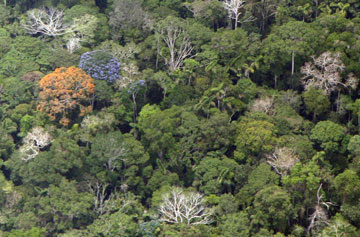
Started over 60 years ago, the Global Forest Resources Assessment process provides information on how much forest exists, how it is being managed and how it is being lost. Global forest cover currently amounts to just under four billion hectares or about 30 percent of the world’s land area. Although the rate of net loss of forest has decreased in recent years, the world is still losing about 200 km2 of forest a day, according to FAO data.
It is expected that the next report, to be finalized in 2010, will review the status of forests in 235 countries and territories, of which 175 countries have already nominated officers whose duty it will be to ensure that countries provide accurate and timely information on their forest resources.
 Global deforestation data is deeply flawed January 8, 2008 |
“Stronger support from countries and advances in communication technology will make the next Global Forest Resources Assessment the most comprehensive and reliable yet,” said Jan Heino, Assistant Director-General for FAO’s Forestry Department. “The 2010 assessment will be an important tool in measuring the impact of deforestation on climate change and the role of forests in mitigating the effects of climate change”.
“The success of FRA 2010 will depend on the extent to which countries provide accurate and objective information”, says Mette Wilkie, who oversees the data collection process at FAO. The last survey was produced with the help of over 800 people involving teams working in 172 countries and many more are likely to be involved this time around. Some 220 experts are attending this week’s meeting at FAO to kick-start the process.
Remote sensing
One of the techniques used to collect the information is an ambitious new global remote sensing survey. Using satellite data from 1975, 1990, 2000 and 2005, forest cover will be surveyed across the planet in about 13 500 plots, providing a sampling intensity of 1 percent of the global land surface, to obtain statistically valid information at regional and global levels.
This survey will generate unprecedented information on deforestation, afforestation and natural forest expansion. It will provide insight into the land uses that are replacing forests. It will improve understanding of the global contribution of forests to greenhouse gas emissions and reductions. It will also establish a common framework and methodology to enable developing countries to improve their monitoring of current and future deforestation rates.
In addition, the 2010 assessment will expand our knowledge of the biological diversity of forests and will include a special study on trees outside forests, a survey of the area of forest under sustainable forest management, and data on forest laws, policies and institutions.