- The ever-increasing number of species needing protection, inadequate funding, and poor understanding of how and where the US Endangered Species Act (ESA) has been implemented have made it difficult to assess the law’s success.
- A free, online platform offers access to and analyses of troves of ESA-related documents and data—including otherwise unavailable materials—on species, agency consultations, decisions, and effectiveness.
- By making these data more accessible, the platform aims to help the conservation community better understand how the ESA is implemented and where it can improve.
Do you know where your endangered species are?
A new online tool offers access to and analyses of a wealth of documents and data related to the United States Endangered Species Act (ESA), included species distributions, land use decisions, and plans for habitat conservation and species recovery.
45 years of endangered species conservation
The US established the ESA in 1973 to conserve endangered and threatened species and their habitats. It’s the country’s premier species conservation law, but the ever-increasing number of species needing protection, inadequate funding, and poor understanding of how and where it has been implemented have made assessing its success problematic, even for agency staff.
The US Fish and Wildlife Service (FWS) and the National Marine Fisheries Service (NMFS) administer the ESA for terrestrial and freshwater species, and marine wildlife, respectively. These implementing agencies prioritize imperiled species, develop habitat conservation and species recovery plans, carry out recovery actions, and assess progress toward species’ recovery. Over 2,300 species (including 680 foreign species) are currently listed as endangered or threatened under the ESA.

The ESA protects imperiled species by prohibiting the “take” and the trade of listed animals and plants without a specific permit. “Take” applies to activities that harass, harm, pursue, trap, capture, or collect wildlife, including degradation of habitat sufficient to impair its breeding, feeding, or sheltering patterns.
FWS offers extensive information about listed species on its website, but its data management systems make accessing data and documentation on the implementation of the law difficult for the conservation community, the public, and even other agencies.
Expanding access to ESA records
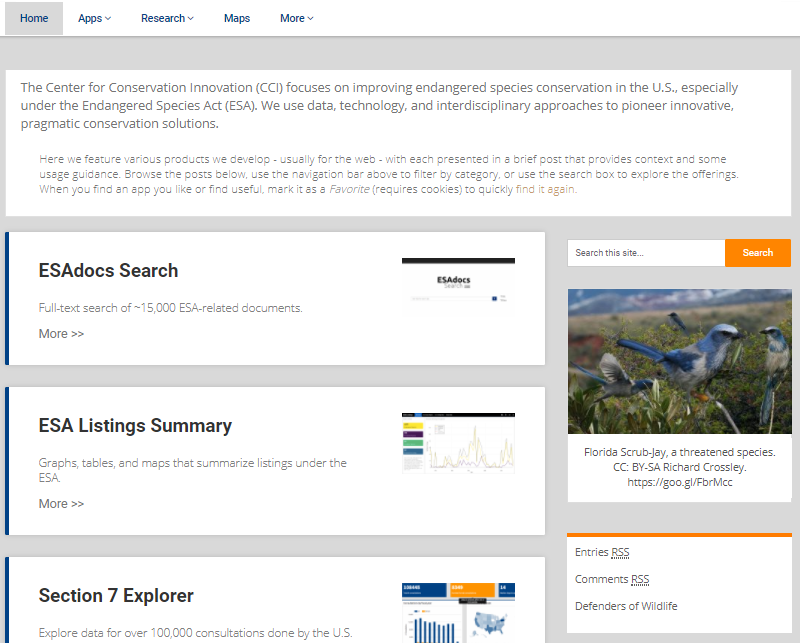
The Center for Conservation Innovation (CCI) at the US non-profit Defenders of Wildlife has launched a web platform that integrates a series of free, online tools, data, and publications on how the law is implemented. The tools complement FWS’s species-specific information by making the extensive ESA documentation and data more accessible to other agencies and the public.
In an email interview with Mongabay-Wildtech, CCI Director Ya-Wei Li and data scientist Jacob Malcom explained the impetus to launch the CCI platform. “The ESA remains the most comprehensive law ever enacted to save endangered species, yet we often have very little information about how the law works in practice,” said Malcom and Li. “In the past, a lot of perceptions about the ESA were based on anecdotes and case studies. Using data and technology, we’re painting a far more accurate picture of how this law is implemented. And what we see is cause for real concern, because the conservation challenge is even greater than what many in the public believe.”
The site’s home page lists (in unspecified order) the various apps, analyses, and papers, or you can select tools from the drop-down menus. Several tools are still in beta development, and new tools are in the works.
Here’s a sampling of what’s currently available:
1— ESAdocs Search app: The over-arching ESAdocs Search engine allows you to search roughly 15,000 ESA-related documents and data on the platform. You use this tool as you would use Google or Bing, by entering a search term—such as a species’ common or scientific name or a place—and the engine lists all the documents it has containing that term. A search for “pronghorn” produced 50 matches of PDF documents, most of which were consultations, communications regarding federal agency actions that could affect the pronghorn population.
You can filter the search by the type of document, such as a report, recovery plan, five-year review, publication, map, or even an interagency letter. The tool makes the text of every document searchable (even the thousands of FWS’s image-format PDF documents).
“Full-text search enables new insights that can’t be gained from FWS’s web resources,” said Malcom. “For example, the project that resulted in the first-ever map of recovery units (found here) was only feasible once we could search the recovery plans for >1,200 species that have completed plans.”
You can also download a spreadsheet table of results of your search, many of which include links to the downloadable PDF documents. Nevertheless, CCI labels this tool as “beta” because some complex searches are still slow, and the team is still adding to it.
Those unfamiliar with the ESA might begin with several “Intro” apps that provide brief overviews of the issue and lead the user to answers.
2— ESA listings and occurrences apps: Several apps provide tabular, graphic, and map-based summaries of ESA species listings, including the occurrence of listed species by county or the listed species found only in a single state. You can also filter and download data on these “intrastate” species—Hawaii predictably has the highest percentage of these (99.2%), followed by California, Texas, and Florida.

The information on the FWS ECOS website offers helpful reports on ESA-listed species—including five-year species review and single-state species data— on a species-by-species basis, said Malcom, but does not permit high-level views or big-picture inquiries, such as seeing where in the US all bird or amphibian species have been listed or how the number of endangered species changes through time.
3— Analysis of ESA decisions app: Many imperiled species current wait years to be considered for listing, and producing a recovery plan that articulates actions needed to protect a given species can take several years. This app analyzes and presents data tables and graphs extracted from a PDF-formatted FWS workplan used to evaluate and prioritize the ESA listing of hundreds of species. The app enables users to search, filter and sort the information.
“Deep-dive” apps, which present more detailed assessments or analysis, are designed for readers familiar with the ESA. Access to some of these requires permission.
4— An ESA expenditure app displays data from 2008-2013 from FWS annual reports, with amounts spent on specific species. Currently, the lack of a system for prioritizing funding means that a few better-known species get most of the funding.
5— The Section 7 Explorer app displays maps and graphs of data on the 100,000 consultations with FWS by federal and state agencies, as required under Section 7 of the ESA. Federal agencies must support the ESA and “consult” with FWS or NMFS to ensure the development activities they authorize or support (such as road building, drilling, or logging projects) are not likely to harm listed species or critical habitats.
The Section 7 Explorer allows you to filter the data to explore consultations for particular species, places, years, agencies, or types of development project. The data include more than 4,000 consultation documents that FWS has not made publicly available, many of which contain up-to-date information on species status, as well as background and glossary of terms for users with limited ESA experience.

6— Analyses: Besides the apps, the platform presents analyses of ESA-related data, generated through ESA consultations and other findings, cover specific topics and are presented as reports and figures. Several of these analyses use data from FWS’s otherwise unavailable Tracking and Integrated Logging System (TAILS) database. For example, CCI analyzed how well the FWS tracks the amount of “take”—harming of a listed species—it authorizes. It found that the current amount of “take” is not well known. Despite the obvious importance of knowing how much harm to an endangered species has been authorized previously before permitting future take, these data were insufficient to do so.
They also learned that roughly half of the inter-agency consultations reported the geographic coordinates of a project, and that certain regional offices were more likely to include coordinates in their reports. As the platform grows, CCI expects to expand the currently limited mapping/spatial data analysis component.

7— Papers: CCI has published expanded versions of some analyses as papers. These include an assessment of species recovery plans that found nearly 25% of listed species lack recovery plans, plans take more than five years to finalize, and half are at least 19 years old. Another paper analyzed data on over 88,000 consultations and found they did not hinder economic development and took less time than conventional wisdom suggested.
8— Working Papers are unpublished works in progress that describe ongoing projects, upcoming features, new ideas, and case studies. For example, a working paper on dynamic recovery provides several models to address the need to modernize species recovery plans. The ESA requires recovery plans for each listed species, but many plans are out of date.
“Current recovery plans are static Adobe PDF documents that are rarely updated, making them less useful for conservation,” explained Malcom and Li. “We are…creating the first-ever web-based recovery plan that can be very easily updated, like how people update a Wikipedia page in a snap.”
The modernized, online format has piqued the interest of both FWS and NMFS, as well as the US Department of Defense, which follows species plans on land it manages, and some of these plans are more than 30 years old. As it progresses, the CCI is writing up a brief analysis of the strengths and weaknesses of the various dynamic recovery plan types.
A tool for practitioners
Many of the CCI tools target ESA practitioners with some understanding of how the law works.
“Part of the issue was that FWS’s internal software doesn’t allow them run simple queries of their data and visualize the results,” said Malcom and Li. “We have stepped in and filled that void. That’s why FWS, other federal agencies, Congressional staff, and the regulated community use the [Section 7] Explorer regularly. For example, the US Forest Service has used the Section 7 Explorer to help answer Congressional inquiries about how the agency fulfills its duty to consult on the effects of their timber harvest and other projects.”
Advocates have used the tools to answer questions relevant to current issues in Congress, such as the status of the required ESA-listed species five-year status reviews. “There are proposals in Congress to stop federal funding for species that are behind schedule on the reviews,” said Malcom and Li, “which would be very bad for ~54% of species that meet the criterion.”
Learn more about the ESA in this helpful FWS introduction video:
