- Information about how marine animals move through the oceans has become vitally important as efforts progress to create a global plan for securing sustainable fish stocks in the high seas. Researchers are integrating new technologies and applying new approaches to data sets to find answers.
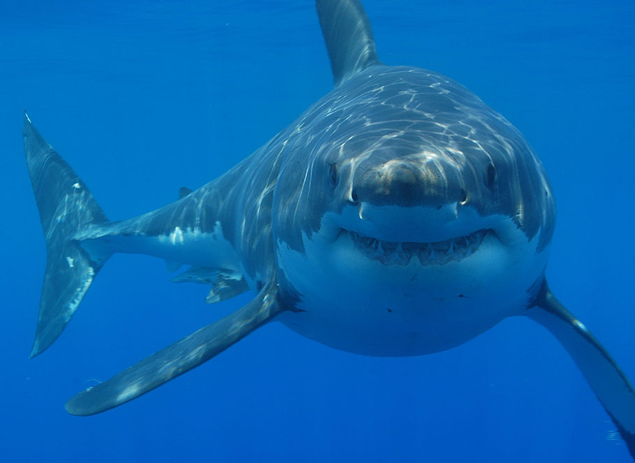
- A recent examination of the long-term Tagging of Pelagic Predators (TOPP) data set has mapped the travel patterns of marine predators — certain whale, turtle, tuna, shark, and seabird species — through their life cycles.
- The study showed that many of these predators spend over half their time on the high seas, supporting the need for global strategies to protect and monitor the high seas. Vessel identification systems paired with several emerging satellite technologies can help.
Of gaps and limitations
Our knowledge about sea animals is riddled with holes. We may study and record sea lion colonies or sea turtle nesting and hatching events as they take over a shoreline, with hordes of baby turtles or seals making a run for the sea. Then they disappear from record until the next observable event, perhaps the next breeding season. What happens in between? Where do they go in their travels?

Our understanding of the turtle hatchling’s life cycle, once considered “lost years” by scientists, is now coming together thanks to researchers such as Kate Mansfield and Autumn-Lynn Harrison, applying two emerging approaches: the tracking of species with tiny, lightweight tags and the innovative modeling of existing data sets.
In “The political biogeography of migratory marine predators,” Harrison and colleagues sought to learn more about the lives of marine animals in the high seas. So they turned to the TOPP (Tagging Of Pelagic Predators) data set compiled years before by Barbara Block and Dan Costa.
“One of the largest animal tracking data sets in the world,” according to Harrison, the TOPP study generated a valuable resource for researchers studying Pacific marine animals and large seabirds. Yet much of the tracking was done using early-generation tagging systems, and the data contain a lot of noise.
“This paper was a challenge,” Harrison told Mongabay, “because tracking data have a number of sampling irregularities that make working with them a little tricky.”
She identified some of these as gaps in data transmission caused when an animal dives deeply or for a long time and a tag doesn’t transmit; varying durations in track length because some animals were tracked for five years, and others for just one; and original tags that lacked sufficient battery life to transmit continuously, providing an animal’s location every hour or every four hours.
The need to conserve battery power required some tracking tags as recently as 2003 to run on a “duty cycle.”

“We had to program the tag to perhaps turn on for three days, off for two weeks,” Harrison said. “Or maybe they transmit for eight hours and they’re off for two days.” To circumvent sampling irregularities, Harrison and co-researcher Arliss Winship applied modeling techniques to the TOPP data.
The TOPP study tracked many species simultaneously to remove the confounding effects of comparing animal movements across different climatic conditions. Periodic climatic events such as El Niño can impact animal behavior.
“Animals studied in the same year in the same place, are experiencing the same ocean,” Harrison said. “So if their behaviors differ, it might be because they use the ocean differently, not because the ocean itself is different.”
Using the TOPP data set, Harrison and colleagues were able to fill information gaps about the lives of more than 1,600 predatory marine animals — sharks, whales, seals, sea birds, tunas, and sea turtles — and show how much of their lives they spend in the largely unregulated waters known as the high seas. The researchers hope their results will help conservation managers protect these animals in the future.

Managing fisheries on the high seas
Global marine management has been slow in coming. However, from the June Charlevoix Blueprint for Healthy Oceans summit of G7 Leaders to the November Our Ocean Conference in Bali, 2018 has seen a growing global commitment to agreements that would manage the “Wild West” of the high seas more sustainably.
Tech collaborations aim to address everything from diminishing fish stocks and endangered species to climate change impacts and coastal vulnerabilities. Some 60 nations have agreed to monitor and manage fisheries globally as part of the International Monitoring, Control and Surveillance (IMCS) network.
But species attrition continues at an unsustainable pace under current monitoring and management efforts, so the need for all-in cooperation is urgent.
“I was motivated to do this study to provide information that’s useful for management and for these ongoing high seas treaty negotiations,” Harrison said. “I think the power of what we did was to show these patterns across multiple species because it strengthens the evidence that the high seas is an important place for migratory marine predators, not just one, not just two, but tens.”
Besides knowing where the fish are, it’s also important to know where the fishing is happening in order to prevent overfishing. In the world of illegal, unreported, or unregulated (IUU) fishing, identifying smaller fishing boats remains a challenge. While large ships are required to use an Automatic Identification System (AIS), the technology is considered too onerous for smaller boats, which, taken together, account for a large portion of IUU fishing. As AIS technology becomes more affordable, many researchers recommend requiring all ships, no matter the size, to broadcast identification data.
David Kroodsma, chief research scientist for Global Fishing Watch, looks to the latest satellite technologies to document unauthorized fishing activity. Kroodsma acknowledges that satellite technology has the potential to provide remote viewing and a record of proof, but it isn’t ready to monitor a given location in real time.
“You can’t track the movement of boats the same way you can with AIS or VMS,” Kroodsma said, referring to the satellite-based vessel monitoring system, “because you’re getting like one picture per day.” Or, with the current state-of-the-art systems, two pictures a day.

Kroodsma’s team researches ways to combine technologies and essentially triangulate around the information gaps.
“For instance, you can take an image from a satellite and combine it with AIS data,” he said, “and you can tell which of those vessels [at the location of an IUU fishing event] are broadcasting and which are not.”
As a partnership between Google Earth Outreach, SkyTruth, and Oceana, Global Fishing Watch provides public access to VMS data from governments willing to allow such transparency (e.g. Indonesia, Peru, Costa Rica). It also leverages satellite fleets, crunching some 60 million data points a day.
“There’s satellite radar that can see through clouds,” Kroodsma said, “and then there’s VIIRS” [visual infrared imaging radiometer suite] — which can see the bright lights used by fishermen looking for squid and other animals at night.
“People use [VIIRS] to look at some of these really bright vessels operating outside of Peru,” Kroodsma added. “They should have AIS because they’re really big, but you know they’re not broadcasting, you don’t see them in AIS. A lot of these sensors available don’t give you the whole picture, but by combining them you can get a really nice analysis.”
Why regulate the high seas?
Until now, the high seas were open territory, fair game for fishing fleets from any nation. But Harrison’s work and those of other researchers make the case for including the high seas in a comprehensive monitoring and protection program: fish and endangered predators know no boundaries.

Harrison’s study found that leatherback turtles visit 32 countries in their long, many-thousand-mile migrations between breeding periods.
“Two whole years,” Harrison said, “to migrate [from Indonesia] across the Pacific Ocean to California and Mexico, and then back to breed.”
In the process, the highly endangered turtle spends roughly 78 percent of its time in the high seas, where it can be caught. “The turtle is caught as by-catch in fisheries, [and] also harvested in [and around] nesting beaches,” Harrison said. “So understanding its connectivity across countries and the high seas is really important, also knowing when it’s in the high seas and at risk of being by-caught.”
It’s not just the leatherback; many endangered species face dire pressure from the ubiquitous fishing industry.
“High seas and straddling stocks are overfished at twice the rate of those within national jurisdictions,” Daniel Dunn and colleagues found. Kroodsma’s research team also showed that five countries account for more than 85 percent of high seas fishing.
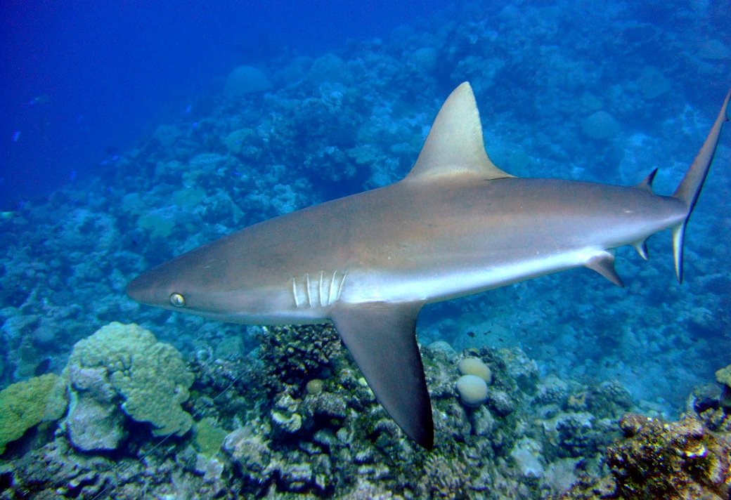
Even in protected areas, a study by Darcy Bradley and colleagues at the University of California, Santa Barbara showed that illegal fishing of predators is common. Bradley’s team analyzed movements of 15 sharks in a protected shark sanctuary. Within three months, eight of the tagged animals had disappeared, due to illegal fishing rather than natural migration. Bradley and co-authors recommended maximizing integrating satellite technologies, including the fleet of microsatellites operated by imaging firm Planet and the higher-resolution satellites of DigitalGlobe.
Seal you later
As policymakers debate closing regulatory and monitoring loopholes, scientists are working to fill in the knowledge gaps. The work of Harrison’s team showed that some species of whales, sharks, and seabirds can range widely, spending more than 60 percent of their lives in the high seas.
“An animal could spend three years in Alaska and the next year go to Hawaii,” said Aaron Carlisle, a researcher who helped tracked salmon sharks for the Harrison study.
The study solved some mysteries of the elephant seal. Before we could track seals with electronic tags, “observation bias,” based on when the seals were seen and reported, limited insights into the species’ movement patterns. Even tourists can count the crowds of elephant seals strewn across Northern California beaches at mating time as bulls wrestle and jockey for females. But it’s not easy to spot an elephant seal on the open sea.

“Northern elephant seals may dive for 20 minutes and then surface just a minute or two,” Harrison said. “So unlike whales, that you can see and report to a website, when you’re in the high seas, you may never see an elephant seal. It’s just their brown head that pops up against a vast ocean, not their whole body like a whale.”
Analysis of the relatively complete TOPP data on elephant seals determined that female seals spend some 65 percent of their annual cycle on the high seas, a contrast to range maps for elephant seals from the 1980s, one of which shows their distribution just along the coast.
The analyses by Harrison and colleagues show that many marine predators spend between 45 and 75 percent of their time in the high seas. As the 2018 talks tackle the complexities of monitoring the open seas against IUU fishing, the information provided by tracking studies may help secure sustainability among key marine populations.
Citations
Harrison, A. L., Costa, D. P., Winship, A. J., Benson, S. R., Bograd, S. J., Antolos, M., … & Kohin, S. (2018). The political biogeography of migratory marine predators. Nature ecology & evolution, 2(10), 1571.
Block, B. A., Jonsen, I. D., Jorgensen, S. J., Winship, A. J., Shaffer, S. A., Bograd, S. J., … & Ganong, J. E. (2011). Tracking apex marine predator movements in a dynamic ocean. Nature, 475(7354), 86.
Bradley, D., Mayorga, J., McCauley, D. J., Cabral, R. B., Douglas, P., & Gaines, S. D. (2018). Leveraging satellite technology to create true shark sanctuaries. Conservation Letters, e12610.
Dunn, D. C., Jablonicky, C., Crespo, G. O., McCauley, D. J., Kroodsma, D. A., Boerder, K., … & Halpin, P. N. (2018). Empowering high seas governance with satellite vessel tracking data. Fish and Fisheries.
FEEDBACK: Use this form to send a message to the editor of this post. If you want to post a public comment, you can do that at the bottom of the page.