- Data from satellite tracking tags on 120 elephants in southern Africa have identified a suite of wildlife movement corridors across five southern African countries, suggesting the importance of cross-border coordination.
- Wide-ranging movements of elephants include dispersal from northern Botswana north into Angola and south toward the Kalahari Desert.
- Research findings have suggested that open and unimpeded movement corridors can help reduce conflict with human residents while blocked corridors can push elephants and other wildlife into new developments or villages, resulting in increased conflict.
Data from satellite tracking tags deployed on elephants in Botswana, Namibia, Zambia and along the border of Angola and Zimbabwe have revealed that the Kavango Zambezi Transfrontier Conservation Area (KAZA TFCA), formally established in 2011, represents the world’s largest transboundary wildlife corridors.
According to the non-profit Elephants Without Borders (EWB) the data from these tags have identified elephant corridors, migration paths and vacant habitats that could reduce negative impacts resulting from an increasing elephant population coming into contact with an increasing human population.
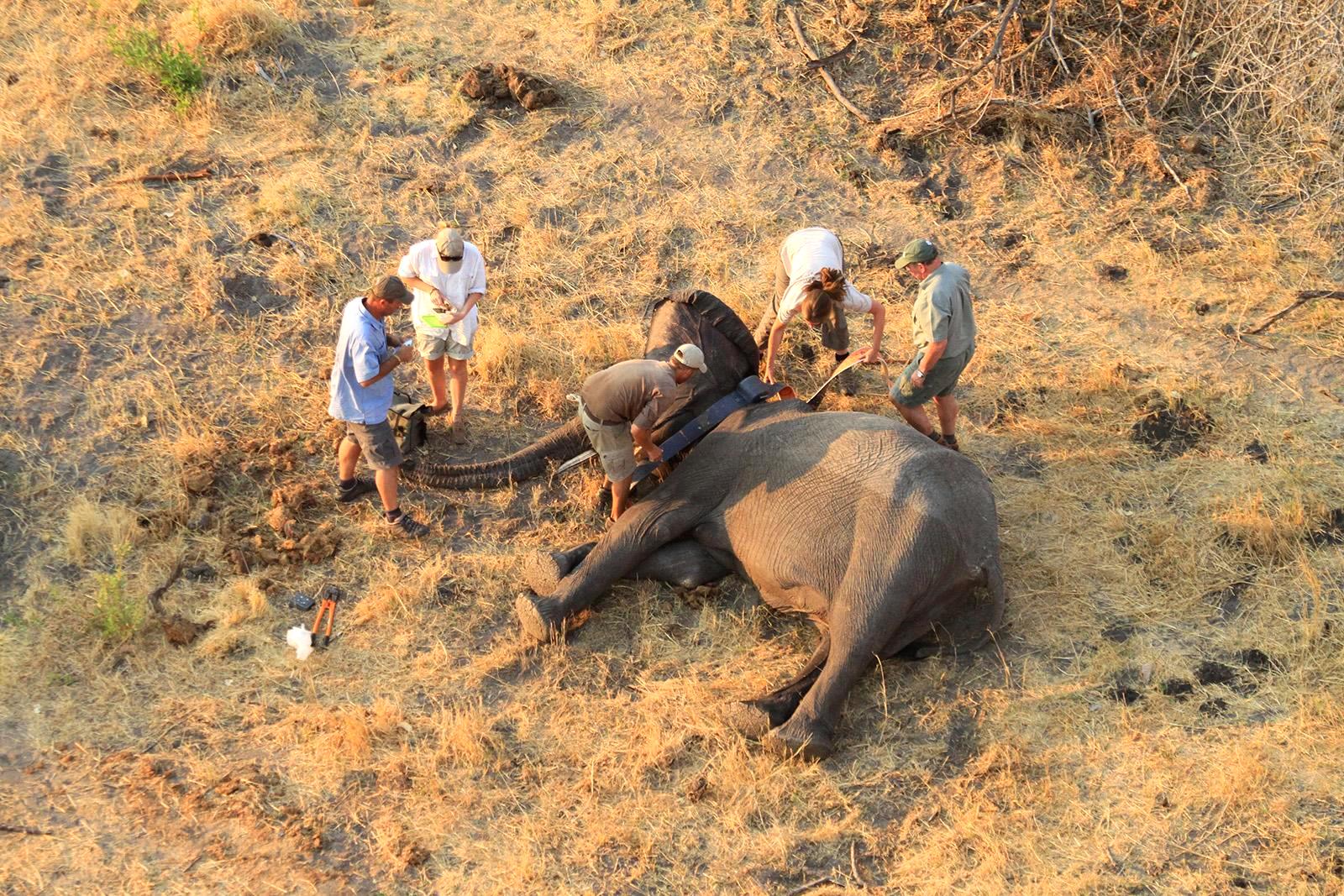
EWB program manager Kelly Landen said that the tags, deployed on 120 elephants in the five member states, were crucial in detecting elephants’ locations and identifying the major movement corridors across the five countries. With the discovery of some 90 elephant carcasses inside Botswana, until now considered a relatively safe haven for elephants, areas of intact vegetation that enable elephants to move freely may be more important than ever.
“There is now a critical urgency to conserve and safeguard these important identified ecological linkages that wildlife species are using to emigrate between countries,” Landen said. “If the corridors are compromised where elephants and other wildlife do not have safe passage across political boundaries, then one of the natural solutions to manage and maintain the largest population on the continent will be seriously threatened.”
Data shows wide-scale elephant movements
The tracking tags have allowed EWB to monitor the transboundary movements of elephants within the KAZA TFCA region for the last two decades.

According to Landen, the use of the tracking technology has allowed EWB to better understand elephant movements at various scales, from large transboundary wildlife corridors to smaller-scale access routes.
For example, Landen said her team used to see wide-ranging movements of elephants across countries through connected wildlife corridors. EWB’s tracking program has revealed that elephants of the northern Botswana have the second largest home ranges (24,828 square kilometers, 9,856 square miles) recorded for African elephants. Landen said that the elephants are part of a greater population that extended into western Zimbabwe, the Caprivi Strip in Namibia, southeast Angola and southwest Zambia. The tracking data have shown them that elephants have been moving north out of Botswana, through Namibia, into Angola and Zambia.
She said that EWB has noticed that the traditional elephant movements north from Botswana have become limited and now some herds are moving to the south of the country, especially in the wet season when rains fill natural pans.
“Elephants are re-occupying areas from which they have been absent from for many years. The most striking expansion of elephant range has occurred south towards the Boteti River, south into the Central Kalahari Game Reserve and west of the Okavango Delta,” Landen added.

Landen said that the tracking data helped her team to know exactly where an individual elephant is at any time of day or night and over different time periods. Each tag sends the location of its wearer to a computer monitored by EWB via satellite, as often as every hour.
“We can see where that individual moves on a daily, weekly, seasonal, and annual scale,” Landen said. “This then allows us to understand movement trends through space and time of those elephants through different habitats. Tracking is a tool that provides us with a baseline of information about elephant’s habitat needs, density and distribution, demography, ecology, behavior and social organization.”
“They have revealed to us where the necessary resources for elephants are at different time periods. Because we get hourly readings for the majority of our collared animals, we can calculate the rate of movement of these animals.”

According to Landen, young to mid-age bulls tend to range farther than other age groups. The longer-distance explorations of satellite-tagged younger males can suggest transboundary movements.
The team tag females within breeding herds if they want to understand seasonal movements in an area and to see the various land-use types that the elephants occupy at different times of the year. EWB researchers want to know which elephants use corridors at all spatial scales; hence, it is important to track the movement patterns of both males and females.
Urban corridors
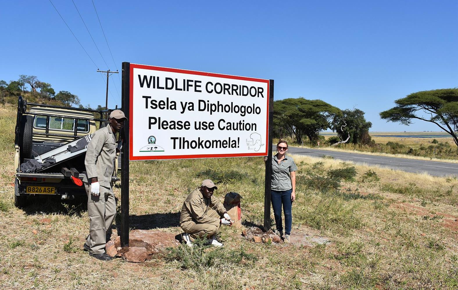
Data from the tags have also revealed how elephants use corridors of natural vegetation remaining around villages and townships. The tracking data and camera traps have enabled EWB to monitor the use of these pathways by elephants and other wildlife.

“The collars have assisted EWB in identifying the corridors near some villages that are outside Chobe National Park and the finer-scale urban corridors in Kasane and Kazungula in Botswana,” Landen said.
According to a recent study conducted by EWB and colleagues, conflict in this urban landscape is due to human development spreading along the Chobe river and closing off small-scale pathways that wildlife residing in the nearby protected areas, including Chobe National Park and Chobe Forest Reserve, traditionally used to access the river.
According to the study, human-wildlife conflict arises when human activity encroaches on and around wildlife pathways bringing people and wildlife into direct contact. When development closes a corridor or pathway, the wildlife must find other means to get to the needed resource, which forces them to wander within human-dominated landscapes.
Landen said their findings suggested that if corridors remain open and unimpeded, conflict with human residents will be reduced. She added that if corridors are blocked, elephants and other wildlife will be pushed into new developments or the villages, resulting in increased conflict.
The study states that there is a need to create a space for wildlife to pass unimpeded through areas populated by people. Landen said that regional authorities and residents need to work towards securing the safety of the wildlife and to allowing them to continue using the space by maintaining their traditional movement pathways.
Elephants re-colonizing war-torn regions
According to EWB, the end of civil conflict in Angola offered elephants an opportunity to return to Angola. The EWB research has shown that elephants that migrated from northern Botswana through the Caprivi Strip in Namibia into southeast Angola were using historical pathways.
However, Landen said, though elephants were moving back to Angola, they continue to face constant danger from the poachers.
A recent study of elephant numbers in Angola also attributed the decline of the elephant population in Angola to poaching and human encroachment. Aerial surveys and satellite monitoring of tagged elephants revealed a decline in the elephant population, most likely as result of poaching. The high number of carcasses observed during the aerial survey suggests that the population of elephants that was on the increase in 2005 was now under great threat from poachers.
According to EWB, the elephants that relocated to Angola are part of a large regional elephant population shared with Botswana and Namibia. The elephants have remained in Angola, despite the many unexploded landmines. This “re-colonization” is a natural dispersal which can lead to a dynamic ebb and flow of elephant numbers across the greater migratory system.
According to EWB, the blocking of elephant transboundary corridors has resulted in a decrease of elephants’ transboundary movements. This in turn has led to the populations staying within the security of Botswana and exploratory movements south into the country, though, even there, the animals are threatened.
Citations
Adams, T. S., Chase, M. J., Rogers, T. L., & Leggett, K. E. (2017). Taking the elephant out of the room and into the corridor: can urban corridors work?. Oryx, 51(2), 347-353.
Schlossberg, S., Chase, M. J., & Griffin, C. R. (2018). Poaching and human encroachment reverse recovery of African savannah elephants in south-east Angola despite 14 years of peace. PloS one, 13(3), e0193469.
FEEDBACK: Use this form to send a message to the editor of this post. If you want to post a public comment, you can do that at the bottom of the page.