
- For decades the Papua region in Indonesia has remained the country’s least-understood, least-developed and most-impoverished area, amid a lack of transparency fueled by a strong security presence.
- Activists hope their new website, Mata Papua, or Eye of Papua, will fill the information void with reports, data and maps about indigenous welfare and the proliferation of mines, logging leases and plantations in one of the world’s last great spans of tropical forest.
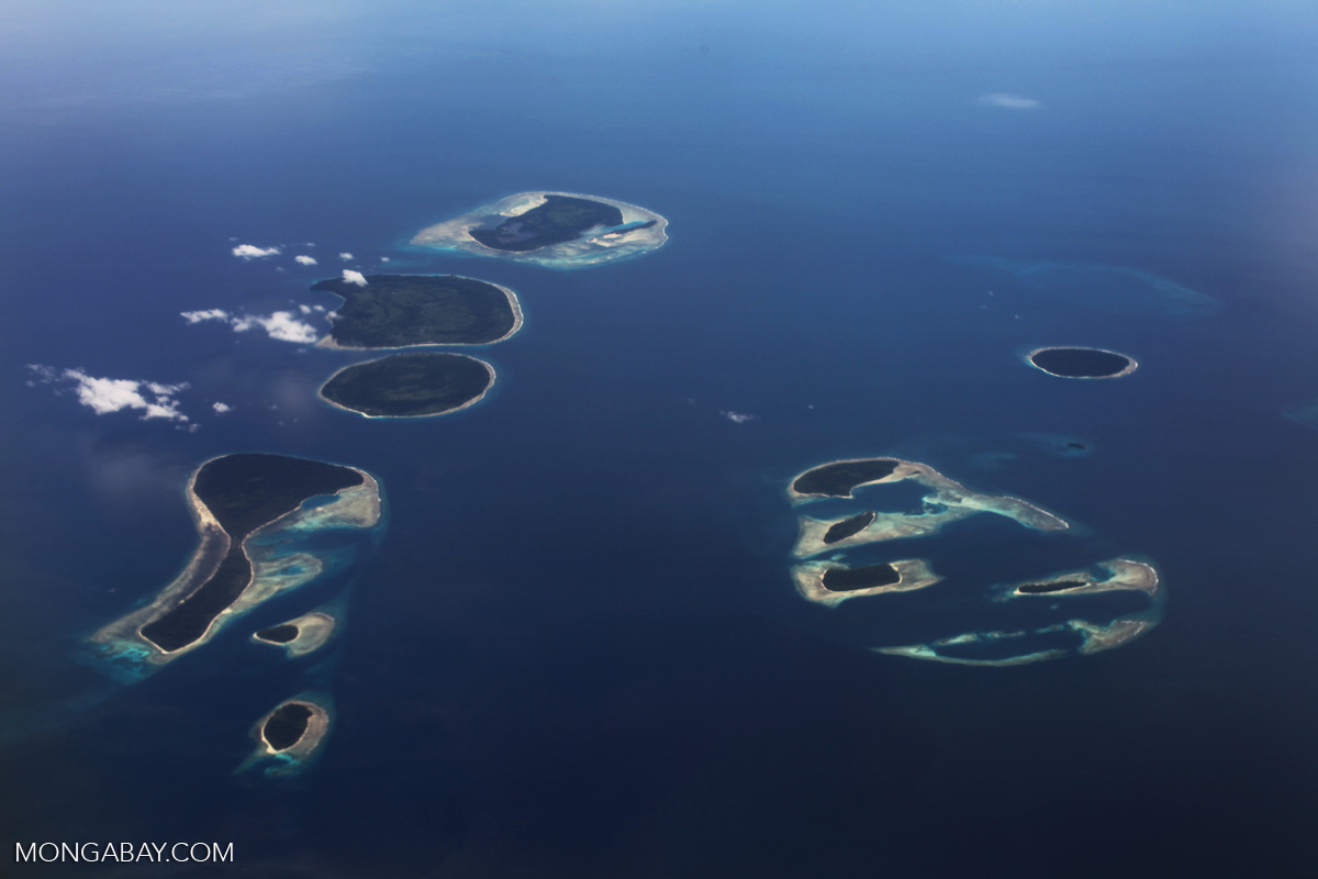
- Companies, with the encouragement of the government, are fast carving up Papua’s land, after having nearly depleted the forests of Sumatra and Indonesian Borneo.
JAKARTA — Zely Ariane, an editor at the Tabloid Jubi newspaper in Indonesia’s easternmost region of Papua, gets frustrated each time an acquaintance travels there and asks to meet up on short notice.
None of them, it seems, realizes just how vast the region is.
“My friends always say, ‘Hey, I’m in Papua, let’s meet up!’” Zely said in Jakarta recently. “But where in Papua, though? If someone was to ask to meet you in Java, they’d surely say where [specifically], no?”
The name Papua typically refers to the western half of the island of New Guinea, which is split up into two administrative regions: the provinces of West Papua and Papua. Together, they cover more than 420,000 square kilometers (162,000 square miles) — an area the size of California. Crucially, the two provinces account for 35 percent of Indonesia’s remaining rainforest, spanning 294,000 square kilometers (113,500 square miles).
“No one seems to have a good grasp of the geography of Papua, or at least almost no one,” Zely said.
This lack of understanding is due in part to the remoteness of the region — Indonesia’s least developed and most impoverished — and its harsh mountainous terrain, as well as to the security response to a low-level separatist insurgency simmering since the 1960s. The military and police have for decades maintained a strong presence there, and to date it remains the least accessible part of Indonesia for journalists — in particular foreign reporters, who require a special permit just to visit the region. Earlier this month, a BBC reporter covering a health crisis in the district of Asmat was ordered to leave the region after posting tweets that the military deemed insulting.
With the authorities maintaining a chokehold on the information coming out of Papua, amid very little transparency, concerns abound over the state of human rights, healthcare, education and other development issues in Papua. Now rising up that list of concerns is the environment, as the administration of President Joko “Jokowi” Widodo eyes the country’s easternmost provinces as a new frontier ripe for plantations, primarily oil palm, which have already nearly depleted the forests of Sumatra and Kalimantan, the Indonesian part of Borneo.

Filling the information vacuum
Now, local activists have stepped into the information vacuum with an initiative that seeks to bring greater transparency to the changes being wrought to Papua’s environment in the name of economic development.
Through their recently launched website, Mata Papua, or “Eye of Papua,” activists from the rights advocacy group Yayasan Pusaka provide reports with an emphasis on the welfare of indigenous communities and the activities of natural resource-exploitation companies: plantations, miners and loggers.
“The idea behind this website came after seeing the difficulties in accessing information and data on permits and documents related to the extractives industries,” Franky Samperante, the Yayasan Pusaka executive director, said at the launch of the website in Jakarta.
Mata Papua provides photos, videos and written reports on Papua, as well as a map built on the open-source geographical information system QGIS. The map features five overlays: social, concessions, forests, demographics and administrative.
“So if you want to know about the people in Papua, you would click on the social map,” Franky said.
He said he hoped Mata Papua would help empower Papua’s indigenous people with knowledge about their own areas and the presence of extractives companies operating in their midst. The site also aims to help officials with policy-making and give the general public a better understanding of this little-understood region.
New frontier
Franky said he believed access to information was crucial for Papua as developers ramp up their operations in the region. A recent study by Duke University and the International Institute for Applied Systems Analysis showed that deforestation driven by oil palm expansion in the region had escalated in the past decade, increasing fivefold.
“Right now, Sumatra and Kalimantan are already flooded with extractives permits, which is why investors are eyeing Papua next,” Franky said.
Papua is also home to one of the world’s biggest copper and gold mines, the Grasberg facility operated by a subsidiary of the U.S. mining giant Freeport McMoRan. Mining remains the dominant extractive industry in the region, accounting for a combined 90,000 square kilometers (about 35,000 square miles) of leases, according to Franky. This is followed by logging, with 70,000 square kilometers (27,000 square miles) and plantations with 21,000 square kilometers (8,100 square miles).
The expansion of the extractives industries has fueled conflicts with indigenous people in Papua. Local media reports have mentioned only five such conflicts, according to the Agrarian Reform Consortium (KPA), an NGO — a figure it says would be much higher if greater access to data on land conflicts was available.
“That’s why we need to be alert and watch every policy,” Franky said, “because the failure to monitor Sumatra and Kalimantan has resulted in uncontrollable permit issuance there.”
Banner image: The Papuan hornbill or Blyths hornbill as commonly known is found in Papua New Guinea, the Moluccan Islands in Indonesia, and the Bismarck Archipelago, east to Solomon Islands, the Papuan hornbill is the only hornbill that is found within these areas. Photo by Rhett A. Butler for Mongabay.