- The previous tally was 13,466, a figure produced by Indonesia’s geospatial agency in 2010.
- An oft-cited count is 17,508, a number put out by the military in the 1980s.
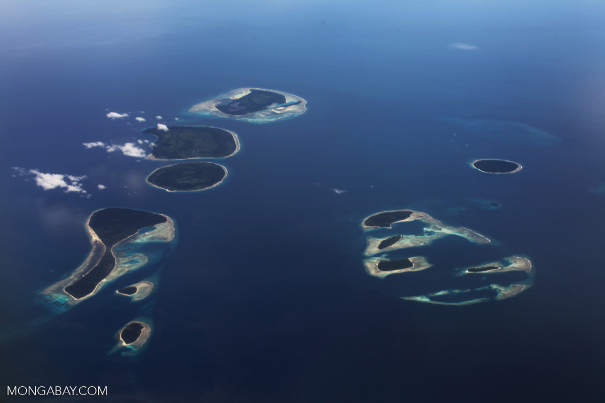
- Indonesia is by far the world’s largest archipelago country.
JAKARTA — The archipelagic country of Indonesia has revised upward the official count of its islands, from 13,466 to 14,572.
The former figure was submitted in 2012 to the last UN Conference on the Standardization of Geographical Names. The next conference is scheduled to be held in August of this year. Indonesia plans to present a higher number — an assertion of its sovereignty at a time of wrangling over Southeast Asia’s maritime borderlands, especially as China imposes its presence in the region.
“We want to record these islands as a part of Indonesia, so that no other state can recognize them” as part of their own territory, said Bryahmantya Poerwadi, a spokesperson of the Ministry of Maritime Affairs and Fisheries.
The Muslim-majority nation is often said to be a country of some 17,000 islands. In 1987, the Indonesian military’s mapping service put the number at 17,508. That’s the figure now cited by the US Central Intelligence Agency’s World Factbook.
In 2002, Indonesia’s National Institute of Aeronautics and Space cited satellite imagery it said indicated as many as 18,306 islands, so far the highest estimate.
Beginning in 2007, however, the country’s Geospatial Information Agency undertook a three-year survey that produced the 13,466 figure. The agency has said that the higher estimates failed to exclude sandbars and reefs that only appear at low tide. Under the UN’s definition, an island must appear at high tide, too.
In any case, the Indonesian archipelago spans one eighth of the world’s circumference, about the same as the US.
Banner image: Islands off the Bird’s Head Peninsula of Indonesia’s West Papua province. Photo by Rhett A. Butler
This story was reported by Mongabay’s Indonesia team and was first published on our Indonesian site on Jan. 12.