- New Guinea is experiencing widespread fire outbreaks amid a severe El Nino-driven drought across parts of the island, reveals imagery and satellite data released by NASA.
- Fire is typically used in New Guinea for land clearing by smallholders, commercial agricultural developers, and traditional hunters.
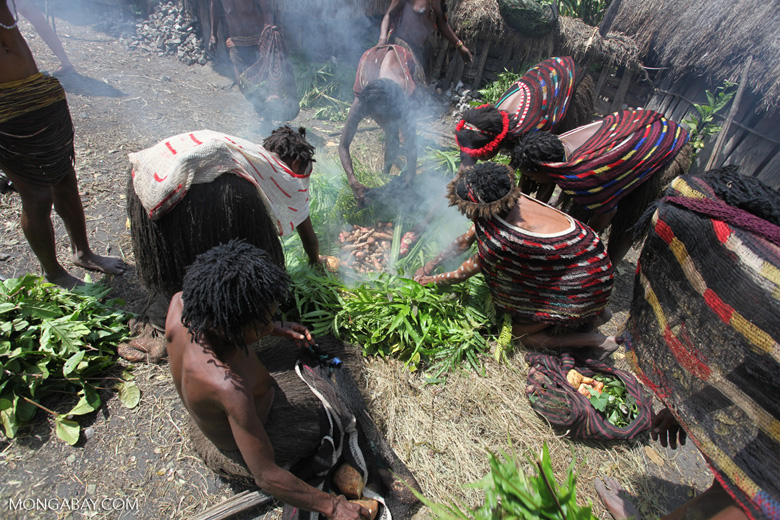
- Beyond fires, this year’s drought has been causing food shortages in parts of New Guinea, especially in poor highland areas.
While fires in Borneo and Sumatra are garnering most of the headlines for the choking air pollution they are causing across Southeast Asia, New Guinea is also experiencing widespread fire outbreaks amid a severe El Nino-driven drought across parts of the island, reveals imagery and satellite data released by NASA.
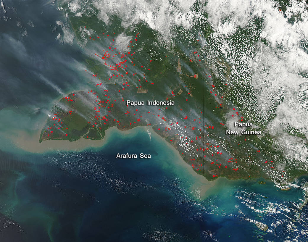
A September 24, 2015 photo taken by the Moderate Resolution Imaging Spectroradiometer (MODIS) aboard NASA’s Aqua satellite showed dozens of active hotspots burning in southern New Guinea, on both sides of the Indonesia-Papua New Guinea border. Fires were particularly clustered in areas where forests and peatlands have been cleared and degraded by loggers and for industrial agriculture as well as open grasslands.
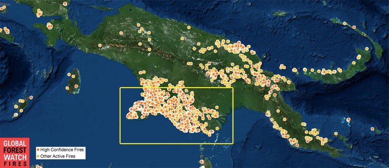
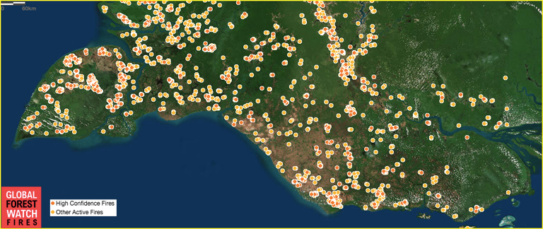
On a broader scale, MODIS data displayed on World Resources Institute’s Global Forest Watch – Fires platform shows fires aren’t confined to southern New Guinea. Active hotspots are visible across much Papua New Guinea.
Fire is typically used in New Guinea for land clearing by smallholders, commercial agricultural developers, and traditional hunters. Seasonal rains usually limit the area affected by burning, but in dry years, fires can burn uncontrolled for months, spreading into forests. Fires in drained peatlands are particularly damaging because they are extremely difficult to extinguish, produce dense air pollution, and release large amounts of carbon into the atmosphere.
Beyond fires, this year’s drought has been causing food shortages in parts of New Guinea, especially in poor highland areas.