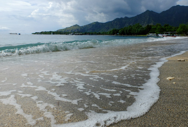
Pemuteran Bay, the site of a community-based ocean management program in North Bali. Photo: Aji Wihardandi
The Indonesian government is preparing a spatial plan for its marine territory, the beginning of a blueprint to transform the archipelagic country into a “global maritime axis” in line with new President Joko “Jokowi” Widodo’s platform.
Mapping the nation’s seas will support the alignment of different programs and the integration of various marine sources of economic growth, according to Maritime Affairs and Fisheries Minister Susi Pudjiastuti.
The National Marine Spatial Plan (RTRLN) “will account for maritime connectivity systems, strategic ocean areas and zoning designations for the use of marine space on a national scale in accordance with the potential and carrying capacity of the environment,” Susi said in Jakarta on Tuesday this week.
“This is very important for Indonesia in the context of supporting the realization of a maritime and fisheries development vision that is characterized by three essences: sovereignty, sustainability and prosperity,” she added.
The spatial plan will bring different ministries, each with their own maritime interests, on the same page, said Coordinating Maritime Affairs Minister Indroyono Soesilo.
“If there’s a problem like that, it’s my job to fix it,” he said. “I will coordinate with the Maritime Affairs and Fisheries Ministry, the Energy and Mineral Resources Ministry, and other related ministries.”
As an island nation whose territory is dominated by the sea – 5.8 million square kilometers, or two thirds, of the country is ocean – Indonesia must consolidate its waters in order to protect its borders, said Sudirman Saad, the Maritime Affairs Ministry’s director-general of marine, coastal and small island affairs.
“The most important thing is how to guard the border areas,” he said. “We have therefore allocated Rp770 billion ($59.5 million) to guard 31 small outer islands. It is hoped that from that, these small and remote islands can be maintained properly.”
These small islands border 10 countries: Australia, Malaysia, Singapore, India, Thailand, Vietnam, the Philippines, Palau, Papua New Guinea and East Timor.
At a green investment summit in Jakarta this week, an analyst from consultancy Roland Berger questioned the speed at which Indonesia could become the global maritime axis it aspires to be.
“President Jokowi’s goal is viable,” the analyst, Anthonie Versluis, told state news agency Antara. “Indonesia can become a maritime axis in the Southeast Asian region, but not in five years.”
Produced in English by Philip Jacobson.
Citations:
- M Ambari. “KKP Susun RTRLN untuk Petakan Wilayah Laut Nasional” Mongabay-Indonesia. 29 April 2015.