Innovation in Tropical Forest Conservation: Q&A with Dr. Carlos Souza Jr.

Aerial view of grazing cattle in newly-cleared Amazon in Brazil. Photo by: Rhett A. Butler.
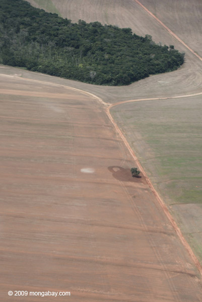
In the Brazilian Amazon, deforestation alerts are being submitted via smartphones. On the ground technicians send alerts to a database stored in “the cloud.” This information is added to maps, which, along with satellite imagery, are used to inform law enforcement. And the speed of this process is getting real results.
Since 1992, Dr. Carlos Souza Jr. has worked for the Brazilian NGO Imazon. Currently, he coordinates Imazon’s Amazon Monitoring Program, the first non-governmental deforestation alert system for the Brazilian Amazon. Souza uses spatial analysis to identify priority conservation areas in the Amazon and to map carbon stocks of forests. He develops remote sensing techniques to monitor and map land cover and land use changes, particularly forest degradation caused by selective logging, fires and fragmentation.
 Carlos Souza Jr. Photo courtesy of Souza. |
“Monitoring and reporting deforestation statistics every month helps to keep the general society and authorities informed and track the target to reduce deforestation,” Souza told mongabay.com. “It is now like monitoring inflation in the country: people pay attention national wide every month to deforestation statistics.”
Souza became a Senior Researcher of Imazon in 2001 and was the executive director of the institute from 2005 until 2008. He is a member of the Global Observation of Forest Change and Land Cover Dynamics and has served as Leader of the Avina Foundation since 2008. Souza has over 75 listed publications, and in 2010, was awarded the Skoll Award on Social Entrepreneurship.
“I think a promising big thing [in tropical forest conservation] is crowdsourcing monitoring using mobile technology. We have now the potential to have millions of people tracking changes on our planet and quickly inform the global society for rapid response,” Souza said.
INTERVIEW WITH CARLOS SOUZA JR.

Kaiapo medicine man in Brazil: indigenous people are increasingly using modern technology to protect their forests. Photo by: Rhett A. Butler.
Mongabay:What is your background? How long have you worked in tropical forest conservation and in what geographies? What is your area of focus?
Carlos Souza Jr.: I received a bachelor degree in geology and became a geographer during my Ph.D. training. Over the past two decades, my research has focused on the development of remote sensing techniques to monitor tropical forests and on spatial analysis to identify anthropogenic threats to forests and areas for forest conservation. I conduct my research mainly in the Brazilian Amazon and have collaborated with other researchers in other tropical forest regions in the Pan-Amazon region, in Africa and in Southeast Asia.
Mongabay:Are you personally involved in any projects or research that represent emerging innovation in tropical forest conservation?
Carlos Souza Jr.: Yes, right now I am working on two projects related to forest conservation linked to other relevant issues: food security and climate change.
The first project is the development of a land traceability system based on geospatial and remote sensing technologies for tracking agroforestry production. The global demand for food will increase and monitoring agricultural lands, in terms of their productivity, environmental and law compliances, and the potential expansion of crops over forested regions are important tasks to inform and educate consumers and policy makers.
The second project is mapping areas for forest restoration that is also linked to agricultural lands and has great potential to carbon sequestration. For that, we have identified priority areas for forest restoration in the state of Pará (Brazil) aiming at reducing landscape fragmentation, mitigating soil erosion and protecting water paths and habitat for biodiversity, and as well as to comply with the new Brazilian Forest Code. All these issues are linked to tropical forest conservation and food security, which together with climate change represent big challenges for the next decades.
Mongabay:What do you see as the biggest development or developments over the past decade in tropical forest conservation?
 Soy field and forest reserve in Brazil. Photo by: Rhett A. Butler. |
Carlos Souza Jr.: I can say that reducing deforestation, while keeping the economy and the agriculture production growing in Brazil, was one of the biggest accomplishments, saving forests and significantly reducing CO2 emissions. This required a multi-institutional approach with governments, from federal to local levels, civil society and private sector working together. Monitoring and reporting deforestation statistics every month helps to keep the general society and authorities informed and track the target to reduce deforestation. It is now like monitoring inflation in the country: people pay attention nationwide every month to deforestation statistics.
Mongabay:What’s the next big thing in forest conservation? What approaches or ideas are emerging or have recently emerged? What will be the catalyst for the next big breakthrough?
Carlos Souza Jr.: I think a big promising thing is crowdsourcing monitoring using mobile technology. We have now the potential to have millions of people tracking changes on our planet and quickly inform the global society for rapid response. And of course the catalyst for this is the Internet. This technology can also help building more transparent supply chain systems that, as a result, can lead to better environmental conservation approaches. This movement can take forest conservation outside the boundaries of parks and conservation units and include farms in the process.
Mongabay:What isn’t working in conservation but is still receiving unwarranted levels of support?
Carlos Souza Jr.: There are many successful projects on forest conservation in every country in the world, conducted by local traditional communities, schools, corporations, conservation units, and cities, and many other segments of our society. The challenge for the next decade is scaling up the successful conservation initiatives to revert global pressuring problems, such as biodiversity loss, global warming, soil depletion, and desertification, among other issues. There are many things that are working but need to receive global attention —this means we have to think really big!
Related articles
Brazil to test drones in monitoring the Amazon rainforest
(04/24/2014) Brazilian municipalities are planning to use drones to map properties and monitor forest cover as they move to step up enforcement of the country’s Forest Code, reports The Financial Times.
NASA detects surge in deforestation in Malaysia, Bolivia during first quarter of 2014
(04/21/2014) Forest disturbance in Malaysia, Bolivia, Panama, and Ecuador surged during the first quarter of 2014, according to NASA data.
Forests in Indonesia’s concession areas being rapidly destroyed

(04/10/2014) Forest clearing within areas zoned for timber, logging, oil palm, and mining accounted for nearly 45 percent of deforestation in Indonesia between 2000 and 2010, finds a new study that examined forest loss within industrial concessions.
Deforestation tracking system recognized with global innovation award
(03/19/2014) A global deforestation tracking tool developed by Mongabay and NASA has been honored as a Finalist for the 2013 Katerva Award.
New forest map for Sarawak reveals large-scale deforestation, encroachment on indigenous territories

(02/24/2014) A new online platform released by the Bruno Manser Fund reveals large-scale destruction of Sarawak’s rainforests, peatlands, and traditional lands. Drawing from a variety of sources, the Sarawak Geoportal includes data on logging concessions, oil palm plantations, existing and proposed dams, historical forest cover, the extent of indigenous cultivated areas, election results, and area where there are current native customary rights (NCR) disputes.
Google forest data now available for download
(02/14/2014) The University of Maryland, Google, and other partners have made available a trove of forest cover data for download.
Next big idea in forest conservation? Using drones to catch poachers, monitor forests

(01/24/2014) At the foothills of the Himalayas, elephants, rhinoceroses, and tigers stir in the green forests. Protecting and monitoring these animals and the health of tropical forests worldwide is a significant challenge, often requiring large amounts of time, money and risk. Fortunately, an affordable new tool is soaring into the conservation sphere: autonomous flying vehicles, or drones. Lian Pin Koh, is a founding director of the non-profit ConservationDrones.org, which builds capacity in the use of drones for conservation in the developing tropics.